Hi, what do you want to do?
Enchanted Learning
Enchanted Learning: The Continents
Brightly colored printouts, maps, and graphics on the greatest land masses on earth. See how continental drift works, look up extremes, label maps, learn about latitude, longitude and other geography terms. Teachers will find a Landforms...
University of Texas at Austin
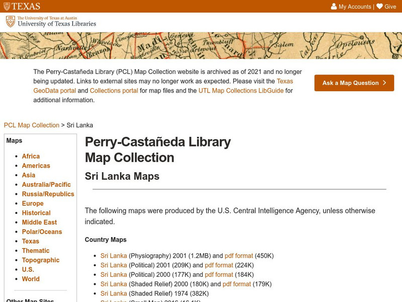
Perry Castaneda Library Map Collection: Sri Lanka Maps
This resource provides several country, city, historical and thematic maps detailing the country of Sri Lanka. PDF (requires Adobe Reader)
Other
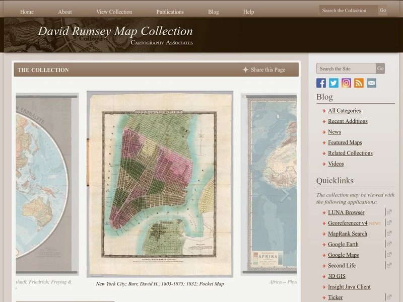
The David Rumsey Historical Map Collection
"The David Rumsey Historical Map Collection focuses on rare 18th and 19th century North and South America cartographic history materials. Historic maps of the World, Europe, Asia, and Africa are also represented. The collection...
Other
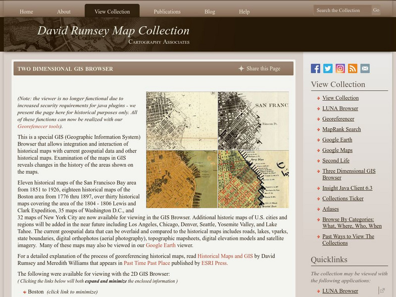
David Rumsey Historical Map Collection
The collection of more than 150,000 maps focuses on rare 18th and 19th-century maps of North and South America, although it also has maps of the World, Asia, Africa, Europe, and Oceania. The collection includes atlases, wall maps,...
Nations Online Project
Nations Online: Georgia
Offers a travel guide and country profile of Georgia in Southwest Asia including background facts and numerous links to comprehensive information on the nation's culture, history, geography, economy, environment, population, news,...
Read Works
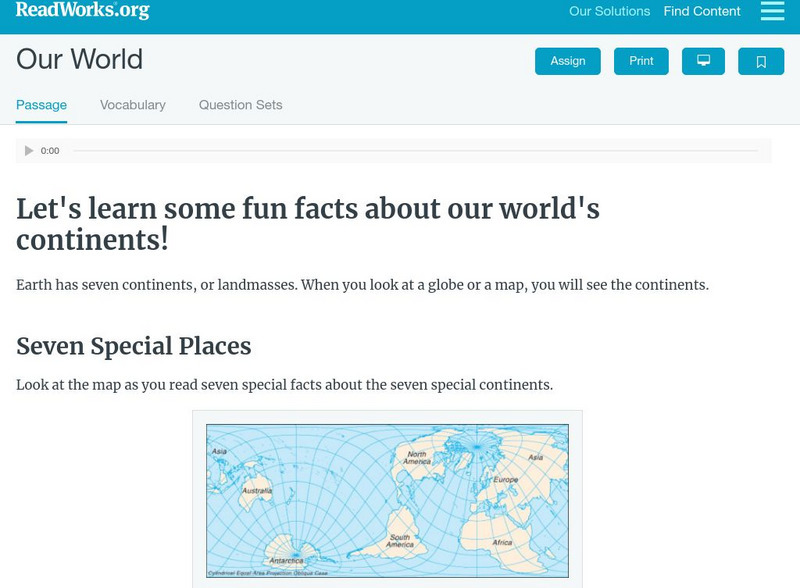
Read Works: Our World
[Free Registration/Login Required] Students read facts about seven continents. A question sheet is available to help students build skills in classifying and categorizing.


