Hi, what do you want to do?
Digital History
Digital History: British Mercantilism and the Cost of Empire [Pdf]
Learn about the theory of mercantilism and how it affected the economies of the New England, Middle, and Southern colonies. Practice making a bar graph showing the value of exports to and imports from England between 1700 and 1774 with...
Other
School Wires: The Agricultural South [Pdf]
In the Southern colonies, a predominantly agricultural society developed.
Bartleby
Bartleby.com: Cambridge History of Eng and Am Lit: Beginnings of Verse:1610 1808
Provides a brief background about the lack of poetry writing in the early literature of the Middle and Southern colonies.
Digital History
Digital History: Slavery Takes Root in Colonial Virginia
Read about how the decrease in the availability of indentured servants led to a vast increase in the importation of African slaves into the southern colonies. Bacon's Rebellion even had an effect on the replacement of indentured servants...
George Mason University
Chnm: Differences Among Colonial Regions
Learners will explore the differences among the three colonial regions of New England, Mid-Atlantic/Middle, and the Southern colonies. In small groups for each region, students will observe and note details of pictures, maps, and...
SMART Technologies
Smart: Thirteen Colonies
Students will drag the name of each colony onto the map. Then drag the color coded stars to the New England, Middle, and Southern Colonies. Lastly, they will drag the important events to the colony in which it happened.
Organization for Community Networks
Academy Curricular Exchange: Original Thirteen Colonies
A lesson plan for helping students remember the names of the the original thirteen American colonies.
Other
Hillcrest: England and Its Colonies [Pdf]
A textbook chapter about England and its relationship to its American colonies. Included are maps and map questions, study help, and assessments.
Yale University
Yale New Haven Teachers Institute: Architecture of New England,southern Colonies
Describes the chronology of architectural design in New England and the South and what the architecture revealed about class building techniques. Includes ideas for lesson activities.
Independence Hall Association
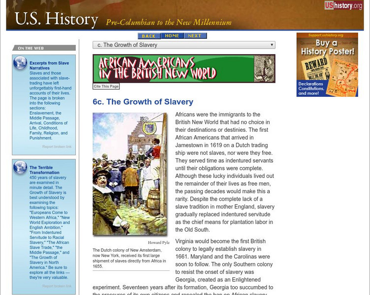
U.s. History: African Americans in the British New World: The Growth of Slavery
Africans first arrived in Jamestown as indentured servants, but soon the appeal of having laborers that were not free after seven years caught on. See how the use of slaves grew in the Southern colonies, the economies of which were based...
Digital History
Digital History: Regional Contrasts
Read about the populations of the New England colonies as compared to the Southern colonies in the 1600s. See how the numbers of Native Americans decreased dramatically particularly in Massachusetts Bay Colony.
University of Groningen
American History: Outlines: William Byrd (1674 1744)
A short essay about William Byrd from the colonial period of American history who detailed life in the Southern colonies.
University of Groningen
American History: Outlines: Colonial Economy
Whatever early colonial prosperity there was resulted from trapping and trading in furs. In addition, the fishing industry was a primary source of wealth in Massachusetts. But throughout the colonies, people relied primarily on small...
Digital History
Digital History: The Diversity of Colonial Slavery
Read about the three distinct systems of slavery that developed in the colonies based primarily on the crops that were grown in each region. See how the system affected the way the culture of slaves grew out of the region.
University of Groningen
American History: Outlines: Colonization
For a variety of reasons, those who came to settle the early colonies sought a new homeland. Puritans, for example, established several settlements in Massachusetts. These English colonists were a pious, self-disciplined people who...
ClassFlow
Class Flow: Thirteen Colonies
[Free Registration/Login Required] This flipchart includes information and maps of the original thirteen colonies and describes the characteristics of the three regions involved-- Northeast, Middle and Southern. Questions to check for...
Colonial Williamsburg Foundation
Colonial Williamsburg: Travel in the 18th Century
This site has a lesson plan that contrasts the methods of travel during Colonial Times, with those of today.
Archaeological Institute of America
The Americas First Colony?
Skeletal remains of a juvenile with jade ax blades suggests a possible Olmec colony in Southern Mexico.
University of Groningen
American History: Outlines: The Colonial Period
A brief discussion of the colonial period in the United States. Includes information on New England, the middle colonies, and the southern colonies. Also, find out about the early government, and the French and Indian War.
Other
New York Historical Society: New York Divided Slavery and the Civil War
Visit this virtual museum exhibit to learn about New York City's divided opinions about slavery before and during the Civil War. There are three themes covered: Pro-Southern City, Fighting Slavery, and Civil War. Students use a...
Other
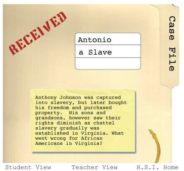
Historical Scene Investigation: Hsi: Antonio a Slave
Activity in which students play the role of detective and follow the life story of a slave to investigate changing slave laws and conditions in the 1600s. Through their investigation, students read and analyze the evidence in the form of...
Other
America Dept. Of State: Outline of American Literature [Pdf]
This online book presents an overview of American literature chronologically. Eras and movements are explained and biographies of significant authors are provided. This is a good way to understand the background and influences of...
Library of Virginia
Library of Virginia: Taxes in Colonial Virginia
Explanation of the various taxes paid by Virginia colonists, something that historians and researchers need to understand.
PBS
Pbs: Cet: Africans in America: The Growth of Slavery in North America
Discusses the economics of slavery in South Carolina and its importance to the profitable growing of rice. It continues with ways the slaves were controlled and punished in South Carolina and Georgia. Click on Teacher's Guide for teacher...
Other popular searches
- Middle and Southern Colonies
- The Southern Colonies
- Slavery in Southern Colonies
- Geography Southern Colonies
- Northern Southern Colonies
- And Southern Colonies


![Digital History: British Mercantilism and the Cost of Empire [Pdf] Website Digital History: British Mercantilism and the Cost of Empire [Pdf] Website](https://static.lp.lexp.cloud/images/attachment_defaults/resource/large/FPO-knovation.png)







![America Dept. Of State: Outline of American Literature [Pdf] eBook America Dept. Of State: Outline of American Literature [Pdf] eBook](http://lessonplanet.com/content/resources/thumbnails/410155/large/bwluav9tywdpy2symdiwmduymc0yotc0ny0xzhf5cgiwlmpwzw.jpg?1589985629)

