Hi, what do you want to do?
Curated OER
Three D Constellations
Learners are introduced to both celestial coordinates and to the first rung on the distance determination ladder. They convert spherical coordinates to Cartesian coordinates to construct a three dimensional model of a constellation...
Curated OER
Globe Skills Lesson 10 Apollo 11
Middle schoolers develop their globe skills. In this geography skills lesson, students use a globe and a softball to replicate distance between the earth and its moon.
Curated OER
It's Just a Phase
Learners describe the phases of the moon and play a game with moon phase cards.
Curated OER
Scale Models to Planet Size
Students consider the comparative sizes of the planets in the solar system. In this scale instructional activity, students select balls of different sizes to represent the planets in the solar system.
Curated OER
Angle Insolation
In this science worksheet, high schoolers look for the answers that are related to the concept of insolation and measuring different angles.
Curated OER
Fishing Game: Stella PC and Mac
Pupils play The Fishing Game as a manager in the national fish and wildlife service charged with the responsibility of making policy suggestions regarding the management of a fishery surrounding national borders.
Curated OER
Photosynthetically Available Radiation (PAR) Measurements Part 1: Calculating the Solar Constant using a TI-8
Twelfth graders are introduced to the term Photosynthetically Available Radiation. In groups, they participate in an experiment to determine how ecosystems survive the conditions in the Arctic. They calculate the amount of solar energy...
Curated OER
Losing An Island
Young scholars examine carbon dioxide and determine the impact of greenhouse gases on the earths spheres. In this pollution lesson students complete a lab activity to see the impact of gases on the environment,
Curated OER
How Can the Little Moon Hide the Giant Sun? Exploring Size and Distance
Students compare two objects at different distances. They explore the concept that distance affects how we perceive the size of objects.
Curated OER
Latitude on World Maps
Sixth graders examine the purposes of maps. In this Geography lesson plan, 6th graders practice using latitude and longitude on a map.
Curated OER
It Looks Like Champagne
Students determine some practical implications of the discovery of liquid carbon dioxide in deep-ocean ecosystems. They interpret phase diagrams and explain the meaning of "critical point" and "triple point."
Curated OER
Six Dynamic Designs for Arts Integrated Curriculum
Students create a recipe for a certain aspect of a culture. They create a culture that has never existed before. They analyze either dance, history, geography, history or the future of space exploration. They compare and contrast...
Curated OER
Clouds
Learners explore clouds. In this weather lesson, students identify the steps in the water cycle, define condensation and evaporation, and relate this information to cloud formation. Learners perform a cloud experiment,...
Curated OER
World Projections
Students identify map projections and examine polar maps. In this map skills lesson, students use a flat world map to identify various projections and calculate the distances between locations by using a map scale.
Curated OER
Environmental Science/Water Pollution
Students study natural habitats, aquatic life, renewable and non-renewable resources. They discuss conservation efforts for sea otters and desert toad in this units.
American Geosciences Institute
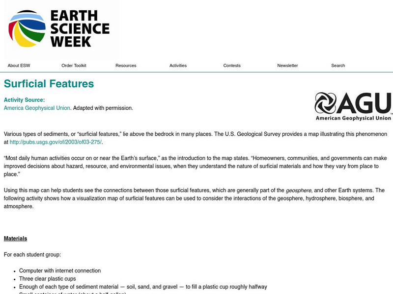
American Geosciences Institute: Earth Science Week: Surficial Features
Using a surficial features map, students see the connections between those features and other Earth systems. They will consider the interactions of the geosphere, hydrosphere, biosphere, and atmosphere.
American Geosciences Institute
American Geosciences Institute: Earth Science Week: Geoscience and Petroleum Careers
In this activity, students think about how various real-world careers relate to personal interests and Earth's systems- the geosphere, hydrosphere, atmosphere, and biosphere.
University of California
Ucmp: Creating an Earth System: Interactions in the Earth System
A brief description of the four spheres of the Earth, with an activity where students brainstorm interactions among them.
Science Education Resource Center at Carleton College
Serc: Relationships Between Tree Ring Dating, Wildfires, and Floods
In this lesson plan students will understand the four spheres of the earth and how they relate to one another. This project uses a combination of Internet investigations and multiple field investigations to develop an understanding of...
Center for Educational Technologies
Wheeling Jesuit University: How Are Things Divided Among Earth's Four Spheres?
See if you can classify various objects in the categories of land, water, air or living thing. This activity is interactive and you will receive a score for your performance.
Texas Instruments
Texas Instruments: Numb3 Rs: Traveling on Good Circles
Based off of the hit television show NUMB3RS, this high-level math lesson has students delve into the topic of Great Circles on a sphere (specifically, the Earth), in order to find the shortest distances between locations. Students will...


