Other
Honolulu Hi 5: Cool Maps With Awesome Weather Data Across 1,219 Us Cities
Explore the weather in states and cities across the United States. Two maps with accompanying graphs are provided. The first indicates the number of comfortably warm summer days a place has and the second shows the temperature and how...
Library of Congress
Loc: Map Collections 1500 2002
This collection provides maps dating back to 1500 up to the present. The collection includes: cities, towns, discovery and exploration, conservation and environment, military battles, cultural landscapes, transportation, communication,...
Other
First Gov: Official Portal of the u.s. Government
A launching point for information about the U.S. government and its resources. One can search FirstGov by keyword or phrase, by browsing a topics list, or by selecting a federal branch (executive, legislative, or judicial). State and...
Other
Stadtplan: Frankfurt Am Main
Stadtplan.net provides a zoomable map of Frankfurt, as well as maps of the state of Hessen (Hesse) and Deutschland. In addition to the local map of streets, there is other city info, including links to events such as rock and other...
Other
Earth Journalism Network: Climate Commons
A unique interactive tool that embeds news articles and information about climate change into a map of the United States. Users are able to explore what the impact of climate change at a local, regional or national level, as well as...
ReadWriteThink
Read Write Think: Creating a Persuasive Podcast
This lesson unit has students research a local, state, national, or international issue of personal interest and create and share a two-minute persuasive podcast presenting their research-based opinions on the topic. It includes tools...
Curated OER
Etc: Maps Etc: Standard Time in the United States, 1910
A map from 1910 of the United States showing the time zones as they were then established. Clock-symbols at the bottom of the map show the comparative times when it is noon in London. "Formerly every city used its own sun time, or local...
Curated OER
Etc: Maps Etc: Commercial Map of the United States, 1872
A commercial map from 1872 of the United States showing the principal railroad and steamship routes in the region at the time. The map shows state boundaries and capitals, major cities and ports, submarine telegraph cables to Europe,...
Curated OER
Educational Technology Clearinghouse: Maps Etc: Railroads in United States, 1910
A map from 1910 of the United States showing the railway network and connecting steamship lines. This map distinguishes the transcontinental railroads and secondary lines, and shows the standardized time zones used in 1910. The clock...
Curated OER
Educational Technology Clearinghouse: Maps Etc: Mexico, 1872
A map from 1872 of Mexico, showing states and state capitals, major cities, towns, and ports, railroads, lakes and rivers, mountain systems, terrain, and coastal features. Steamship routes to major ports are shown, with distances marked...
Curated OER
Educational Technology Clearinghouse: Maps Etc: Mexico, 1902
A map from 1902 of Mexico showing the states and state capitals, major cities and towns, trunk and secondary railroad lines, mountains, and coastal features. This map shows isotherms of mean annual temperature in degrees Fahrenheit, and...
Curated OER
Educational Technology Clearinghouse: Maps Etc: Maine, 1872
A map from 1872 of Maine showing the State capital of Augusta, counties and county seats, major cities, towns and ports, railroads, mountains, lakes, rivers, and coastal features. An inset map details the vicinity of Portland. Clock...
Curated OER
Map of Spain
BBC News provides a general overview of Spain, which is now a democratic state. Includes a brief history, current information, profile of leaders, timeline of key events, and description of local media. Links to related websites, news...
US Environmental Protection Agency
Epa: Surf Your Watershed
This resource provides information on watersheds, maps, activities, and links to local watershed information.
National Wildlife Federation
National Wildlife Federation: Wildlife Watch
Folks are observing the effects of global warming by identifying the wildlife creatures they see in their local states. Check out the interactive map that highlights the observations in each of the fifty states. Learn how to become a...
PBS
Wnet: Thirteen: Workshop: Assessment, Evaluation, and Curriculum Redesign
This site features information on a workshop for assessment, evaluation, and curriculum redesign. Teachers will benefit from the explanations and information provided through these examples.
Other
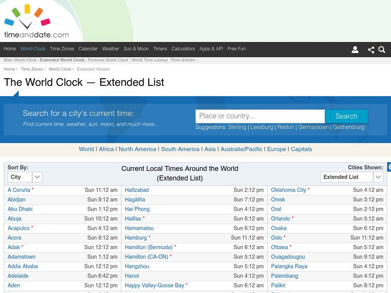
Time and date.com: The World Clock Time Zones
This website has a variety of time resources. You can find a major city and its time. If you click on that city it will give you lots of information.


