Other
State of Connecticut Teachers' Retirement Board
All necessary information for teacher retirement in Connecticut is presented here - from years of service needed to survivor benefits. Retired teachers will also find useful information and publications
Yale University
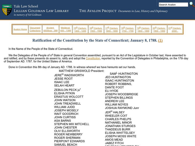
Avalon Project: Ratification of the Constitution by the State of Connecticut
The original text of the ratification of the U.S. Constitution by the state of Connecticut with a list of legislators.
University of Texas at Austin
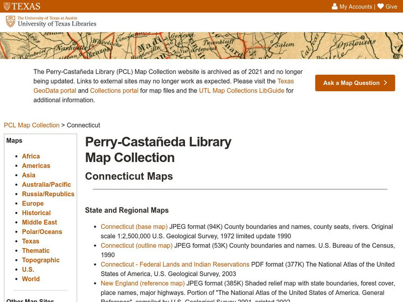
Ut Library: Perry Castaneda Maps of Connecticut
Includes two maps of the state as well as several topographic maps of cities in Connecticut and one historic map of New Haven in 1920.
A&E Television
History.com: Connecticut
Take a detailed look at the state of Connecticut! From its earliest history and peoples, to present day facts which include population, climate, geography, plants and animals, economy, government, cultural life, sports and recreation,...
Kidport
Kidport: United States of America Geography
This site contains a fun way to learn about the states within the United States. Click on the state that you want to learn more about and it provides facts, geographic landmarks, points of interest, major industries, a quiz and more.
Other
Connecticut Department of Public Health
The government health site for the state of Connecticut. Includes agency services, statistical information, headline news, etc.
Enchanted Learning
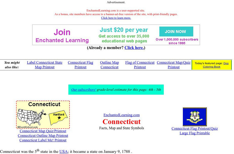
Enchanted Learning: Connecticut
This site has a colorful display of information about Connecticut. It contains a map, pictures, and a list of state symbols for Connecticut.
Johns Hopkins University
The Johns Hopkins University: Connecticut State Maps
Connecticut maps can be found at this site from The Johns Hopkins University Applied Physics Laboratory. Don't miss out on the opportunity to find out more about the geography of Connecticut.
Other
Connecticut State Department of Education
To find a wide range of information and statistics on the state of education in Connecticut, click through the well-organized links on this site. There is information for teachers and administrators, parents and other community members,...
S.E. Schlosser
American Folklore: Connecticut Folklore
Read brief folktales, myths, and legends from the state of Connecticut.
A&E Television
History.com: The States
Learn unique facts about each American state. You can also read a more in-depth history of each state, watch videos and play a game about all the states.
Cayuse Canyon
The Us50: Connecticut
Provides extensive information regarding Connecticut's history, famous people, cities, geography, state parks, tourism, and historic sites. A fact sheet of information and a quiz are also available.
Ducksters
Ducksters: United States Geography for Kids: Connecticut
Kids learn facts and geography about the state of Connecticut including symbols, flag, capital, bodies of water, industry, borders, population, fun facts, GDP, famous people, and major cities.
Library of Congress
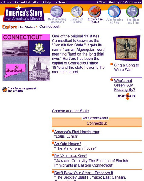
Loc: America's Story: Connecticut
"One of the original 13 states, Connecticut is known as the 'Constitution State.'" How did Connecticut get its nickname? Who developed the first American hamburger? These answers and more are waiting for you at the Library of Congress...
Library of Congress
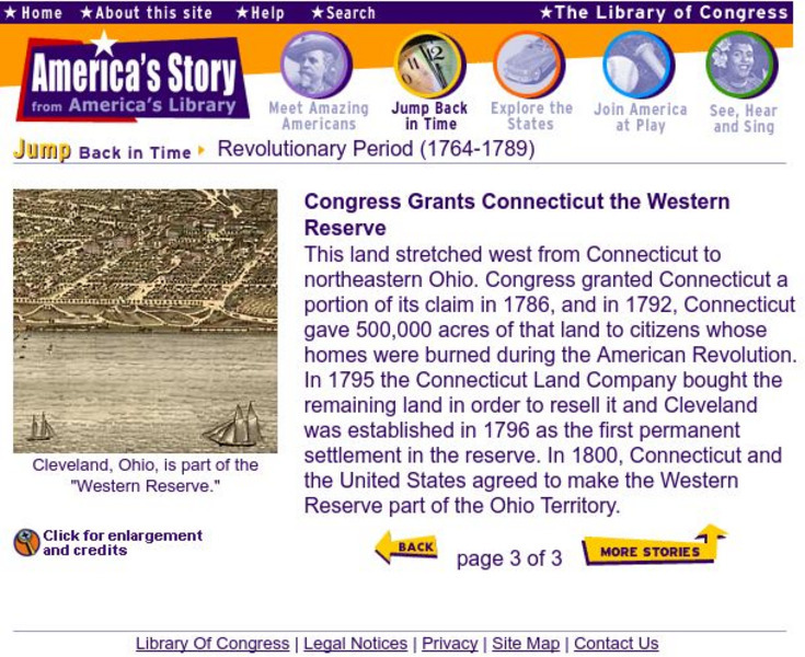
Loc: The Western Reserve Is Granted to Conn.
A brief explanation of Connecticut's acquisition of the Western Territory. Provides several historical maps to provide a view of The United States as it appeared after the Revolutionary War.
Other
Nebhe: State Tuition Agreements
If you're a resident of Connecticut, Maine, Massachusetts, New Hampshire, Rhode Island, or Vermont, the tuition saving program may save you money. The NEBHE provides a tuition break for students pursuing certain majors at public colleges...
CRW Flags
Flags of the World: Clickable Map of the United States
Includes both printable images and fascinating trivia behind the flag of each state. It includes alternate flags used in the past.
Other
Connecticut Department of Labor
Is your career heading along on the right track? A visit to the Connecticut Department of Labor, could open up a new world of opportunity in Connecticut!
NSTATE
People of Connecticut: Charles Goodyear
At this site you can read about Charles Goodyear. This man invented the vulcanization of rubber in 1844.
Digital History
Digital History: Representation: By State or by Population? [Pdf]
Read the opinions of some of the delegates to the Constitutional Convention in regard to the very thorny issue of how states would be represented in the national legislature. [pdf]
Bill of Rights Institute
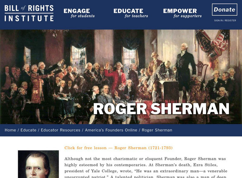
Bill of Rights Institute: Roger Sherman
Although not the most charismatic or eloquent Founder, Roger Sherman was highly esteemed by his contemporaries. At Sherman's death, Ezra Stiles, president of Yale College, wrote, "He was an extraordinary man-a venerable uncorrupted...
US Department of Agriculture
Economic Research Service: Connecticut
This site provides a state fact sheet on Connecticut from the U.S. Department of Agriculture. You will find information on the population, farm characteristics, and top commodities and exports.
Curated OER
Educational Technology Clearinghouse: Maps Etc: Connecticut, 1891
A map from 1891 of Connecticut showing the State capital of Hartford, major cities and towns, railroads, lakes and rivers, and the coastal features of the Long Island Sound.

