Hi, what do you want to do?
Digital History
Digital History: Representation: By State or by Population? [Pdf]
Read the opinions of some of the delegates to the Constitutional Convention in regard to the very thorny issue of how states would be represented in the national legislature. [pdf]
Bill of Rights Institute
Bill of Rights Institute: Roger Sherman
Although not the most charismatic or eloquent Founder, Roger Sherman was highly esteemed by his contemporaries. At Sherman's death, Ezra Stiles, president of Yale College, wrote, "He was an extraordinary man-a venerable uncorrupted...
US Department of Agriculture
Economic Research Service: Connecticut
This site provides a state fact sheet on Connecticut from the U.S. Department of Agriculture. You will find information on the population, farm characteristics, and top commodities and exports.
Library of Congress
Loc: Local Legacies
Experience America through its grassroots! Diverse populations lend cultural colorfulness to our country. Read about an International Food Fair in California, Annie Oakley Days in Ohio, and Wabanaki Basketry in Maine. Click on your...
Curated OER
Educational Technology Clearinghouse: Maps Etc: Connecticut, 1891
A map from 1891 of Connecticut showing the State capital of Hartford, major cities and towns, railroads, lakes and rivers, and the coastal features of the Long Island Sound.
Curated OER
Educational Technology Clearinghouse: Maps Etc: Connecticut, 1902
A map from 1902 of Connecticut showing the State capital of Hartford, major cities and towns, railroads, lakes and rivers, and the coastal features of the Long Island Sound.
Curated OER
Educational Technology Clearinghouse: Maps Etc: Connecticut, 1906
A map from 1906 of Connecticut showing the State capital of Hartford, major cities and towns, railroads, lakes and rivers, and the coastal features of the Long Island Sound.
Curated OER
Educational Technology Clearinghouse: Maps Etc: Connecticut, 1909
A map from 1909 of Connecticut showing the State capital of Hartford, major cities and towns, railroads, lakes and rivers, and the coastal features of the Long Island Sound.
Curated OER
Educational Technology Clearinghouse: Maps Etc: Connecticut, 1922
A map from 1922 of Connecticut showing the State capital of Hartford, major cities and towns, railroads, lakes and rivers, and the coastal features of the Long Island Sound.
Curated OER
Educational Technology Clearinghouse: Maps Etc: Connecticut, 1892
A map from 1892 of Connecticut showing the State capital of Hartford, counties and county seats, major cities and towns, railroads, lakes and rivers, and the coastal features of the Long Island Sound.
Curated OER
Educational Technology Clearinghouse: Maps Etc: Connecticut, 1912
A map from 1912 of Connecticut showing the State capital of Hartford, counties and county seats, major cities and towns, railroads, lakes and rivers, and the coastal features of the Long Island Sound. A grid reference in the margins of...
Curated OER
Educational Technology Clearinghouse: Maps Etc: The Early United States, 1790
A map of the United States in 1790 showing the territorial claims of the states at the time, and the British and Spanish possessions and territory disputes. The map shows the frontier lines or extent of settlement from the coast of Maine...
C3 Teachers
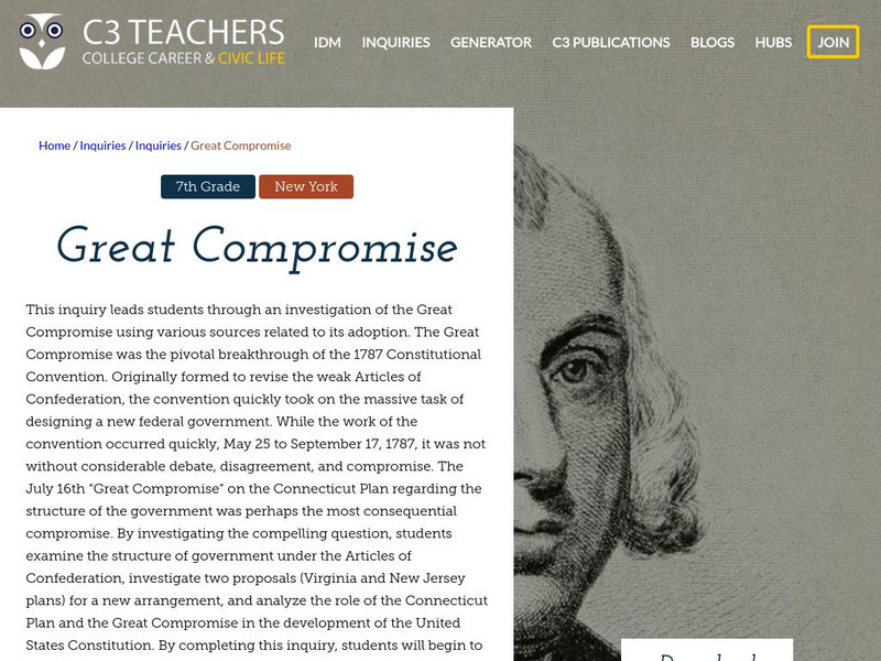
C3 Teachers: Inquiries: Great Compromise
A learning module on the Great Compromise and the role it played in developing the US Constitution in 1787. It includes several supporting questions accompanied by formative tasks and source materials, followed by a summative performance...
Other
Ctdol: Employment Interviewing
This site is provided for by the Connecticut Department of Labor. In a labor market where there are many qualified candidates competing for the same position, how you do on the interview can often determine whether you get the job. Use...
Cayuse Canyon
The Us50
This clickable map of the United States gives students access to research information from history and tourism to attractions and famous historic figures.
Curated OER
Wikipedia: National Historic Landmarks in Connecticut: Emma C. Berry
One of the oldest surviving commercial vessels in the United States.
Curated OER
Wikipedia: Natl Historic Landmarks in Connecticut: Oliver Ellsworth Homestead
Home of Oliver Ellsworth, the second Chief Justice of the United States.
Curated OER
Wikipedia: Natl Historic Landmarks in Connecticut: Sabino (Passenger Steamboat)
One of only two surviving members of the American "mosquito fleet", small steamers that served the inland waters of the United States.
Curated OER
Educational Technology Clearinghouse: Maps Etc: United States, 1821
A map of the United States and territories in 1821 after the Missouri Compromise, showing the Free States and territories, the Slave States and territories, and the transitional territories at the time. The map is color-coded to show the...
Curated OER
Educational Technology Clearinghouse: Maps Etc: United States, 1789
A map of the United States in 1789, showing the State territorial claims, territories, and areas of territorial dispute. The map is color-coded to show States, territories, British possessions, and Spanish possessions, and shows the...
Curated OER
Educational Technology Clearinghouse: Maps Etc: The United States, 1800
A map of the United States in 1800 showing the territorial claims of the states at the time, the British and French possessions, and territory disputes. The map shows the frontier lines or extent of settlement from the coast of Maine to...


![Digital History: Representation: By State or by Population? [Pdf] Website Digital History: Representation: By State or by Population? [Pdf] Website](https://static.lp.lexp.cloud/images/attachment_defaults/resource/large/FPO-knovation.png)


