Curated OER
Etc: Maps Etc: Route of the Panama Isthmian Canal, 1904
A map from 1904 of the Panama Canal showing terrain relief of the isthmus, noting the 'Canal always follows the line of the Railroad’ from Colon to the city of Panama. "For generations the Panama Canal had been the dream of man and for...
Curated OER
Educational Technology Clearinghouse: Maps Etc: Mexico and Central America, 1910
A map from 1910 of Mexico and Central America showing political boundaries at the time, capitals and major cities, rivers, terrain and coastal features, reefs, and neighboring islands (Cuba and Jamaica). A map note shows the Panama Canal...
Curated OER
Etc: Maps Etc: Mexico, Central America, and the West Indies, 1901
A map from 1901 of Mexico, Central America, and the West Indies showing the political boundaries and Mexican States at the time, capitals and major cities, railways, mountain systems, coastal features, and islands of the region. Inset...
Curated OER
Etc: Maps Etc: Mexico, Central America, and the West Indies, 1906
A map from 1906 of Mexico, Central America, and the West Indies showing the political boundaries at the time, capitals and major cities, mountain systems, coastal features, and islands of the region. An inset map shows the entire North...
Curated OER
Educational Technology Clearinghouse: Maps Etc: Patagonia, 1911
A map from 1911 showing the region of Patagonia at the southern tip of South America from Buenos Aires in Argentina to Cape Horn on Tierra del Fuego, and includes the Falkland Islands (Islas Malvinas) as a British possession. The map...
Curated OER
Educational Technology Clearinghouse: Maps Etc: Chile and Argentina, 1911
A map from 1911 showing the political boundaries of Argentina, Chile, Paraguay, and Uruguay at the time. Bordering portions of Brazil and Bolivia are also shown. State boundaries are shown in red, and the map includes capitals, major...
Curated OER
Etc: Maps Etc: Europe After the Congress of Vienna, 1815
A color map of Europe after the Congress of Vienna in 1815, which redrew the continent's political boundaries after the French Revolution, Napoleonic Wars, and the dissolution of the Holy Roman Empire. This map is color-coded to show...
Curated OER
Etc: Maps Etc: Greece at the Dawn of History, 700 Bc
A map of "Greece at the Dawn of History." This map is coloe-coded to show the territories occupied by tribes (yellow), by cities (light orange), by political leagues (dark orange), and the Great States (pink). The boundaries of the...
Curated OER
Educational Technology Clearinghouse: Maps Etc: South America, 1910
A map of South America in 1910 showing the political boundaries of the time. The map is color-coded to distinguish between states, and shows the territorial dispute along the Columbian and Ecuadorian frontier in 1910. The map shows...
Curated OER
Educational Technology Clearinghouse: Maps Etc: North America, 1921
A map from 1921 of North America, Central America, Greenland, and the Caribbean showing political borders, capitals and major cities, railroads, canals, mountain systems, lakes, rivers, islands, and coastal features of the region. An...
Curated OER
Etc: Maps Etc: The Surface of North America, 1912
A base relief map from 1912 of North America, Central America, Greenland, and the Caribbean to Puerto Rico showing the general surface terrain, including mountain systems, highlands, plains, and major river systems of the region....
Curated OER
Map of Vatican
The BBC features an overview on the small independent state of the Vatican City including key facts, historical background, and information on political leaders and the news media. Also provides links to recent news stories on the Pope.
Curated OER
Map of Qatar
BBC News features a general overview of the oil rich Gulf State of Qatar. Focus is on history, country facts, political leaders, and news media. Provides links to a timeline of key events, recent news articles, and related internet...
Curated OER
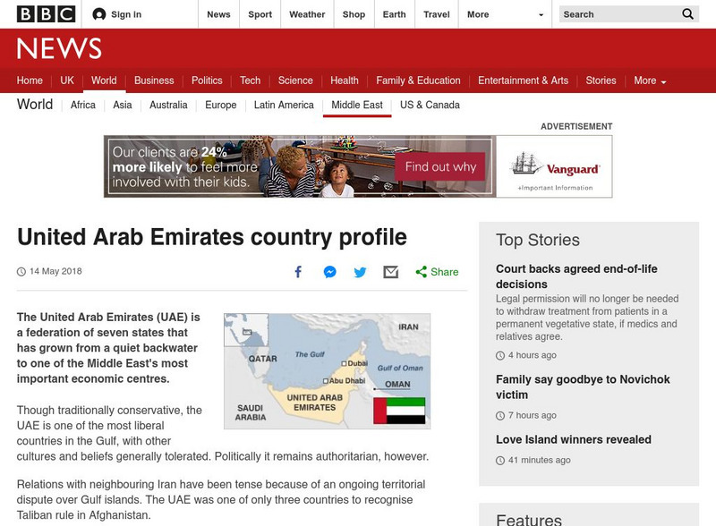
Map of United Arab Emirates
BBC News presents a general overview of the United Arab Emirates which is a federation of seven states. Focus is on history, current information, country facts, political leaders, and news media. Provides links to a timeline of key...
BBC
Bbc: News: Country Profile: United Arab Emirates
BBC News presents a general overview of the United Arab Emirates which is a federation of seven states. Focus is on history, current information, country facts, political leaders, and news media. Provides links to a timeline of key...
BBC
Bbc: News: Country Profile: Qatar
BBC News features a general overview of the oil rich Gulf State of Qatar. Focus is on history, country facts, political leaders, and news media. Provides links to a timeline of key events, recent news articles, and related internet...
American-Israeli Cooperative Enterprise
Jewish Virtual Library: The Partition Plan
The background for creating a plan to partition Palestine, as well as the details of the plan itself and its effects are discussed.
Cengage Learning
Investigating Social Change: Midwest
Explore the evolution of the Midwest region of the United States. Students and teachers will gain a different perspective about the Midwest when they check out this site.
Other
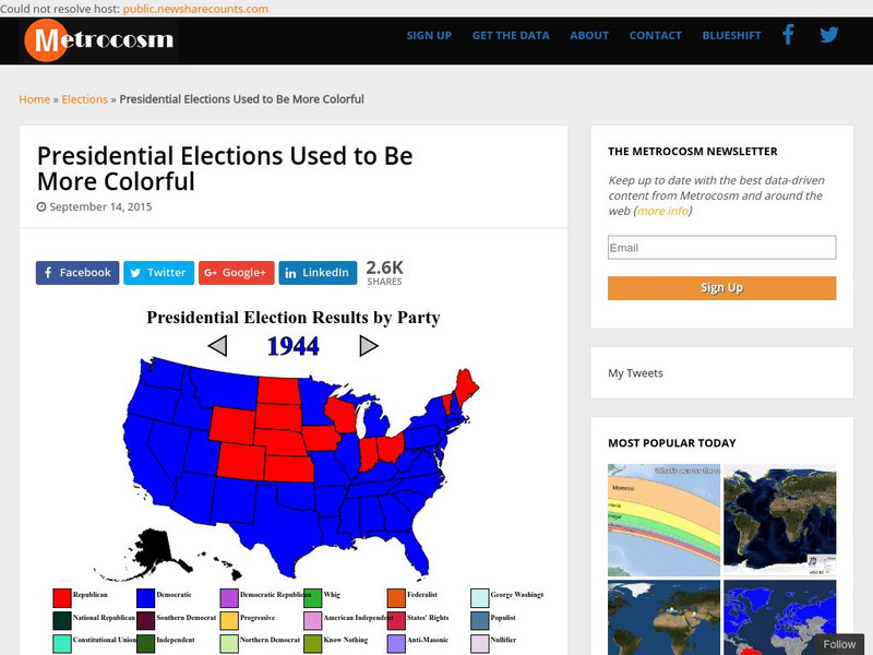
Metrocosm: Presidential Elections Used to Be More Colorful
As we have seen in the last few presidential elections, America is becoming more divided into so-called red and blue states. Visualize the evolution of this phenomenon by studying these election maps that show the progression of our...
American Presidency Project
American Presidency Project: 1920 Presidential Election
View a map and chart showing the distribution of votes by Democrats and Republicans in the 1920 presidential election. See which states supported Warren G. Harding and which supported James Cox.
Other
The Nevada Index
This online "Reference Desk" provides links to libraries, newspapers, people, grants, maps, magazines, and a wealth of other state and national resources.
American-Israeli Cooperative Enterprise
Jewish Virtual Library: The Line of June 4, 1967
Discusses the history of the demarcation lines between Israel and Syria--lines which in part caused the June War.
American-Israeli Cooperative Enterprise
Jewish Virtual Library: Israeli Population Statistics Table
A table sorting population demographics by religion, age, and urban centers.
Other
Escolar: Mapas De Continentes, Mapas Politicos Y Mapas De Paises
Check out this sizable selection of different maps of continents, countries, and states. Each page will give you additional information about the particular country or state.


