Missouri Botanical Garden
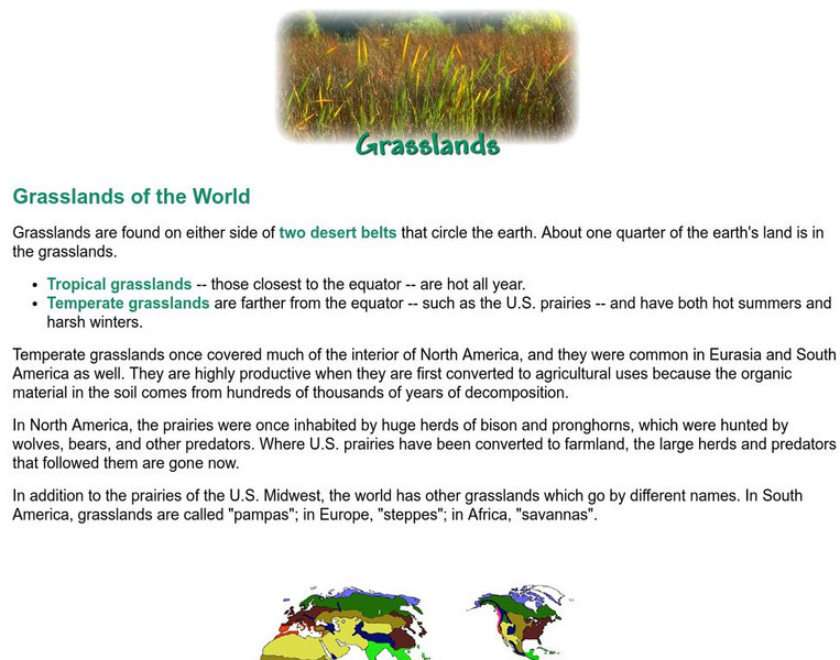
Missouri Botanical Garden: Grasslands of the World
This site from the Missouri Botanical Garden explores the two types of grasslands: tropical and temperate. A brief overview of the grasslands of the world is provided, including a color-coded map.
University of California
Ucmp: The World's Biomes
The University of California Museum of Paleontology hosts this site devoted to the study of the earth's biomes, which are the world's major communities, classified according to the predominant vegetation and adaptations of organisms to...
PBS
Pbs Learning Media: Biomes
This interactive resource adapted from NASA describes the different temperature, precipitation, and vegetation patterns in seven biomes: coniferous forest, temperate deciduous forest, desert, grassland, rainforest, shrubland, and tundra.
Other
Eco Library: Panoramas
Features amazing 360 degrees interactive panoramas for students to help them better understand ecological variation on our planet. Searchable by biome/ecosystem type, location, or ecological phenomena they depict.
Discovery Education
Discovery Education: Habitats of the World
This site has a lesson plan to use to start a unit on biomes and animal habitats. This plan incorporates grasslands, temperate forests, tropical rainforests, deserts, polar ice regions, and tidepools.
Other
Great Plains Nature Center
Click around in this site from the Great Plains Nature Center for some wonderful pictures and information about the Great Plains. Check the Flora and Fauna section for easy-to-read content on such animals as the bison, fox, squirrel; and...
Other
Introduction to Biomes
This site provides an introduction to biomes. There are also links to each different type of biome.
Next.cc
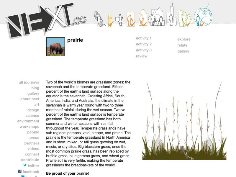
Next: Prairie
Complete these three activities to learn about prairies and where they are located. Includes links to explore related material.
University of California
U.c. Berkeley Libraries: Plant Distribution Maps
This resource provides a list of online maps of world vegetation such as biomes, forests and plants.
Travel Document Systems
Tds: Rwanda: Geography
Read about the climate, terrain, and rainfall in the country of Rwanda. Information is from the CIA World Fact Book.
Curated OER
Etc: Maps Etc: Vegetation of North America, 1916
A map from 1916 of North America, Central America, Greenland, and the Caribbean to Puerto Rico showing the general distribution of vegetation types in the region. The map is color-coded to show natural vegetation in areas of ice desert,...
Curated OER
Educational Technology Clearinghouse: Maps Etc: Vegetation Map of Europe, 1916
A map of Europe showing areas of different types of natural vegetation including tundra and alpine flora, coniferous forests, broadleaf forests and meadows, temperate grasslands, deserts, and oases.
Enchanted Learning
Enchanted Learning: Biomes
Discover the hidden treasures in the different habitats on the earth! The earth is filled with many biomes. Examples of different biomes are listed and include hyperlinks to additional information such as the animals found there.
The Association of the British Pharmaceutical Industry
Abpi: Human and Animal Habitats
An interactive learning game where students answer whether or not certain environments would be suitable for different animals. Printable worksheets are available for review at the end of the activity.
Other
Introduction to the Biosphere: Characteristics of the Earth's Terrestrial Biomes
From Chapter 9 of a textbook on physical geography that covers the biosphere. Important vocabulary is highlighted and linked to a glossary. It explains the characteristics of a biome, and describes the features of the eight different...
Palomar Community College District
Major Biomes of North America
A good review of basic terminology followed by descriptions and pictures of the North American biomes.
Ducksters
Ducksters: Science for Kids: World Biomes and Ecosystems
Kids learn about the world's biomes and ecosystems. The network of life and biodiversity needed for all to survive.
Curated OER
Educational Technology Clearinghouse: Maps Etc: Land Regions of Africa, 1920
A color relief map of the African continent showing regional vegetation and terrain including lands below sea level, grasslands, temperate and tropical forests, oases, semideserts, and deserts and barren mountain slopes. The map also...
Curated OER
Educational Technology Clearinghouse: Maps Etc: Land Regions of Asia, 1920
A color-relief map from 1920 of Asia showing the principal landform and vegetation features, river systems, and water features of the region. The map is keyed to show areas of waters less than 500 feet deep, floating ice, lands below sea...
Curated OER
Etc: Maps Etc: United States and Neighboring Lands, 1920
A map from 1920 of southern Canada, the United States, and northern Mexico showing terrain features, lakes and river systems, and general vegetation types of the region. The map is keyed to show the submerged portion of the continental...
