US Department of State
U.s. Department of State: Office of the Historian: Milestones: 1830 1860
Concisely written accounts of three important events in the history and shaping of Texas: the Annexation of Texas, the Mexican-American War, and the Treaty of Guadalupe-Hidalgo.
University of Texas at Austin
Center for American History: Texas, Texans, and the Alamo
This is an online exhibit of photographs and other momentos from throughout the colonization of the Mexican territory as well as during the war.
San Jacinto Museum of History
San Jacinto Museum: How Did the Battle of San Jacinto Change the World?
This is an interesting look at the impact of the Battle of San Jacinto not only for the Republic of Texas, but for places in North America and in Europe. Links to additional information.
Houghton Mifflin Harcourt
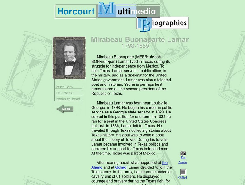
Harcourt: Biographies: Mirabeau Buonaparte Lamar
Brief biography of Texas historical writer includes helpful information regarding Texas history of the 19th century.
San Jacinto Museum of History
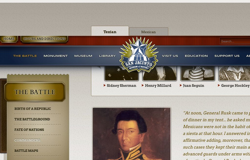
San Jacinto Museum: Commanders in the Field: Juan Seguin
From this San Jacinto Museum article you can read about Juan Seguin, a man who loved Texas, fought well in the Battle of San Jacinto, but was sent to Mexico because of discrimination.
Curated OER
Educational Technology Clearinghouse: Maps Etc: Mexico and Texas, 1845 1848
A map of Mexico and Texas from the annexation of the Republic of Texas by the United States (1845) to the end of the Mexican-American War (1848). The map is color-coded to show the territory of Texas in 1845, the territory of dispute...
Curated OER
Educational Technology Clearinghouse: Maps Etc: War With Mexico, 1846 1848
A map of Mexico and southern United States showing the campaigns and battle sites of the Mexican-American War (1846-1848). The map shows the territory acquired from Mexico after the war, and the routes of Taylor, Wool, Kearny, Doniphan,...
Curated OER
Educational Technology Clearinghouse: Maps Etc: War With Mexico, 1846 1848
A map of Mexico and southern United States showing the campaigns and battle sites of the Mexican-American War (1846-1848). The map shows the routes of Taylor, Wool, Kearny, Doniphan, and Scott, the pre-war boundaries of the United States...
Curated OER
Educational Technology Clearinghouse: Maps Etc: War With Mexico, 1846 1848
A map of Texas, New Mexico, and northern Mexico showing the principal campaigns and battle sites of the Mexican-American War of 1846-1848.
Other
Global Security: 54 40 or Fight
Describes the significant territorial changes that took place in the United States under the presidency of James K. Polk. These included the annexation of Texas, the settling of the dispute with Great Britain over claims to Oregon...
Independence Hall Association
U.s. History: "American Blood on American Soil"
President James Polk's desire was for the United States to stretch from sea to shining sea. See what happened when his overatures to Mexico to buy the land north of the Rio Grande River were spurned. Take a brief vote to see if Polk was...
San Jacinto Museum of History
San Jacinto Museum: Commanders in the Field: Mirabeau Lamar
This brief biography from San Jacinto Museum hits the high points of Mirabeau Lamar's life as a writer, soldier, and politician.
Smithsonian Institution
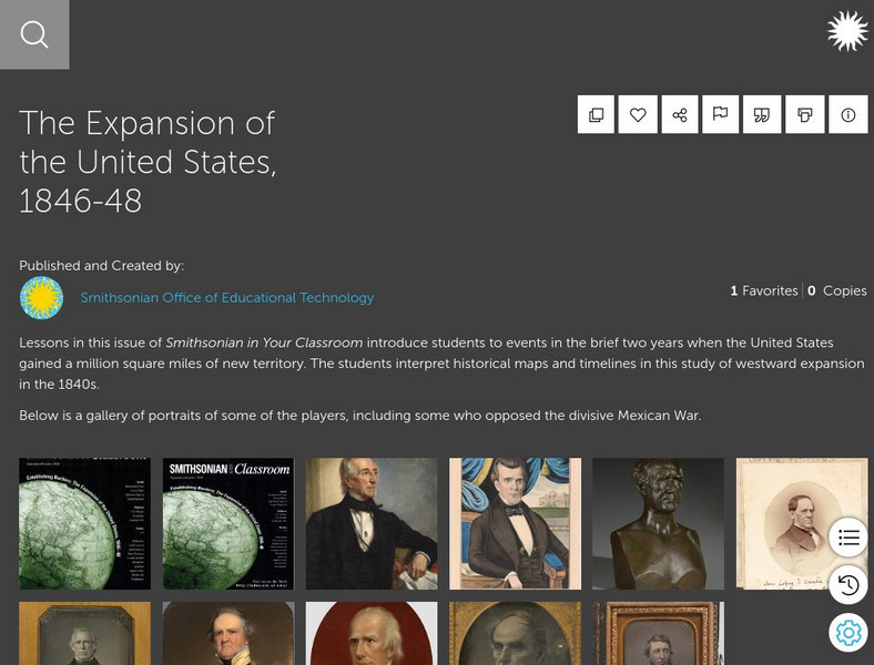
Smithsonian Learning Lab: The Expansion of the United States, 1846 48
This online lesson plan shows students through primary sources how the borders of the U.S. changed in just a few years. They are asked to analyze maps and use map skills. All maps and worksheets are included as well as additional resources.
Curated OER
Educational Technology Clearinghouse: Clip Art Etc: General Edward O. C. Ord
General Ord, born in Cumberland, Md., October 18th, 1818, died in Havana, Cuba, July 22nd, 1883, was graduated from the United States Military Academy in 1839, and assigned to the Third Artillery. He served with distinction in the...
Curated OER
Educational Technology Clearinghouse: Clip Art Etc: George Sykes
General George Sykes, born in Dover, Del., October 9th, 1822, died in Brownsville, Texas, February 9th, 1880, was graduated from the United States Military Academy in 1842, and assigned to the Third Infantry; served in the Florida and...
Curated OER
Etc: Territorial Development of the United States, 1783 1889
A map from 1889 of North America showing the expansion in the region of the United States from the original Thirteen Colonies at the end of the Revolutionary War in 1783 to the time the map was made, around 1889, before the territories...
PBS
Pbs: Who Made America?: Innovators: Samuel Colt
One-page profile of influential innovator, Samuel Colt, whose vision and ideas created the revolving pistol that was later used in the Mexican American War and the Texas Revolution.
Curated OER
Alamo Close Up
This is an online exhibit of photographs and other momentos from throughout the colonization of the Mexican territory as well as during the war.
Curated OER
Wikipedia: National Historic Landmarks in Louisiana: Fort Jesup
Fort Jesup was built in 1822 to help protect the western border between American and Spanish territories. Under the command of future U.S. President Zachary Taylor, soldiers at the fort monitored Texas as it passed from Spanish and...
Curated OER
Etc: Maps Etc: Admission of States to the Union, 1899
A map from 1899 of the United States showing the growth of the nation from the original States in 1783 to the admission of Utah into the Union in 1896. The map shows the Northwest Territory claimed at the end of the American...
Curated OER
Etc: Territorial Growth of the United States, 1783 1900
A map from 1911 of the United States showing the territorial acquisitions from the original states and territory established in 1783 to the Tripartite Convention of 1899 in which Germany and the United States divided the Samoan...


