Hi, what do you want to do?
Curated OER
Etc: Acquisition of Territory, 1783 1884
A map from 1885 of the United States showing the territorial growth from the original States and the Northwest Territory in 1783 to the Russian cession of Alaska in 1867. The map is color-coded to show the progression from the original...
Curated OER
Etc: Territorial Growth of the United States , 1783 1867
A map from 1897 of the United States showing the territorial growth from the original States and the Northwest Territory in 1783 to the purchase of Alaska from Russia in 1867. The map is color-coded to show the progression from the...
Curated OER
Etc: Territorial Growth of the United States, 1783 1867
A map from 1897 of the United States showing the territorial growth from the original States and the Northwest Territory in 1783 to the purchase of Alaska from Russia in 1867. The map is color-coded to show the progression from the...
Curated OER
Etc: The Territorial Growth of the United States, 1783 1853
A map from 1911 of the United States showing the territorial growth from the original States and the Northwest Territory in 1783 to the Gadsden Purchase of 1853. The map is color-coded to show the progression from the original thirteen...
Curated OER
Etc: The Territorial Growth of the United States , 1783 1853
A map from 1894 of the United States showing the territorial growth from the original States and the Northwest Territory in 1783 to the Russian cession of Alaska in 1867. The map is color-coded to show the progression from the original...
Curated OER
Etc: Territorial Acquisitions of the United States, 1783 1900
A map from 1920 of the United States and its territories between 1783 and 1900 showing the nation's expansion and date of acquisition of each new territory or possession. The map is color-coded to show the progression from the original...
US National Archives
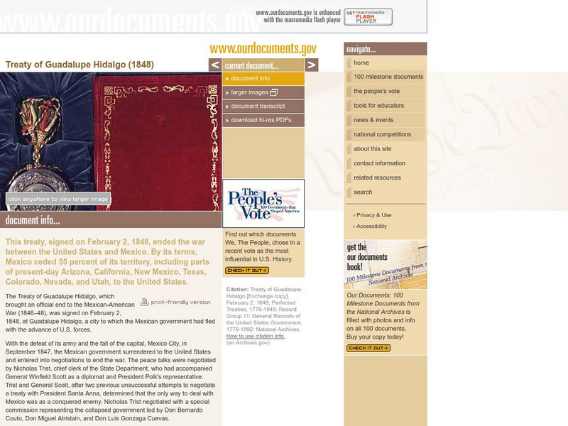
Our Documents: Treaty of Guadalupe Hidalgo
An interactive exploration of the Treaty of Guadalupe Hidalgo, which was signed in 1848 and ended the Mexican-American War. Puts the treaty in context, makes reference to U.S. territorial gains, and includes links to larger images, a...
University of Virginia
Miller Center at Uva: u.s. Presidents: Martin Van Buren
Get the facts about the life and administraton of Martin Van Buren (1782-1862), the 8th President of the United States (1837-1841).
University of Virginia
Miller Center at Uva: u.s. Presidents: James Knox Polk:campaign and Election of 1844
The campaign and election of 1844 showed the rising difference in the nation between Whigs and Democrats and sections of the country. Showing the true development of the two-party system, it also gave rise to the term, "dark horse."
iCivics
I Civics: A Growing Nation
In this unit, learners learn how the United States began to grow as soon as it became a nation, and they examine the effect of this growth on societies already established in North America. Register for a free account to download teacher...
Curated OER
Perry Castaneda Map Collection: Admission of States and Territorial Acquisitions
Here's a map to show you when states were added to the Union. It also shows territories and when they were acquired.
Library of Congress
Loc: America's Story: The Treaty of Guadalupe Hidalgo
This 3-page article provides a general overview of the Mexican War which resulted in the signing of the Treaty of Guadalupe Hidalgo in Mexico City on February 2, 1848.
Digital History
Digital History: The Mexican War
Read about the attempt by the United States to purchase land in the Southwest prior to the declaration of war between the two countries. Find out the causes of the war, and see that there was considerable opposition to the war in the...
University of Virginia
Miller Center at Uva: u.s. Presidents: John Tyler: A Life in Brief
A brief overview of the life of John Tyler. Hyperlinks to additional information.
Independence Hall Association
U.s. History: "American Blood on American Soil"
President James Polk's desire was for the United States to stretch from sea to shining sea. See what happened when his overatures to Mexico to buy the land north of the Rio Grande River were spurned. Take a brief vote to see if Polk was...
Curated OER
Educational Technology Clearinghouse: Maps Etc: North America, 1840
A map of North America in 1840 at the time when the concept of "Manifest Destiny" was being applied to annex the Oregon Territory, Texas, and much of northern Mexico into the United States. The map is color-coded to show the extent of...
Curated OER
Educational Technology Clearinghouse: Maps Etc: The Mexican War, 1803 1848
A map of northern and central Mexico and southern United states showing the area of conflict during the Mexican-American War (1846-1848). The map shows the Mexican boundary (under Spain) established by the Louisiana Purchase (1803)...
Curated OER
Educational Technology Clearinghouse: Maps Etc: United States, 1845
A map of the United States in 1845 after the Louisiana Purchase, the Lewis and Clark Expedition, and the annexation of Texas. The map is color-coded to show the States and territory of the United States west to the Pacific with the dates...
Curated OER
Etc: Territory Ceded by Mexico, 1845 1853
A map of the territory acquired from Mexico including the annexation of Texas in 1845, California, Utah Territory, and New Mexico Territory in 1848, and the Gadsden Purchase in 1853.
Curated OER
Etc: Territory Acquired From Mexico, 1845 1848
A map of the territory acquired from Mexico including the annexation of Texas in 1845 and California, Utah Territory, and New Mexico Territory in 1848.
Curated OER
Etc: Expansion of the United States , 1783 1853
A map from 1904 of the United States showing the territorial acquisitions up to the Gadsden Purchase in northern Mexico in 1853. The map is coded to show the territory of the original United States and the Northwest Territory defined by...
Curated OER
Etc: Expansion of the United States, 1783 1853
A map from 1904 of the United States showing the territorial acquisitions up to the Gadsden Purchase in northern Mexico in 1853. The map is coded to show the territory of the original United States and the Northwest Territory defined by...
Curated OER
Etc: Expansion of the United States, 1783 1853
A map from 1912 of the United States showing the territorial acquisitions up to the Gadsden Purchase in northern Mexico in 1853. The map is color-coded to show the territory of the original United States and the Northwest Territory...
Curated OER
Etc: The Growth of the United States, 1776 1867
A map of the United States showing the growth of the nation from 1776-1867. The map is color-coded to show the thirteen original states, the territory acquired by conquest during the revolution and the Treaty of 1783, the Louisiana...


