Hi, what do you want to do?
University of Texas at Austin
Ut Library: Perry Castaneda Maps of Connecticut
Includes two maps of the state as well as several topographic maps of cities in Connecticut and one historic map of New Haven in 1920.
University of Texas at Austin
Ut Library: Perry Castaneda Maps of New Hampshire
A collection of maps of the state of New Hampshire, including a few maps of cities and important national monument and historical areas.
University of Texas at Austin
Ut Library: Perry Castaneda Maps of Oklahoma
A collection of state, city and historical maps of Oklahoma. Also includes maps of national monuments and parks in the state.
University of Texas at Austin
Perry Castaneda Library Map Collection: Venezuela Maps
This site provides several country and city maps as they relate to Venezuela.
University of Texas at Austin
Ut Library: Perry Castaneda Maps of Ohio
A collection of state, city and historical maps of Ohio. Also includes maps of national parks and monuments in the state.
University of Texas at Austin
Ut Library: Perry Castaneda Maps of Alabama
Here you will find state and city maps (including outline and topographical maps) of Alabama. Also includes historical maps and maps of Alabama's National Parks.
Curated OER
University of Texas: Belize: Political Map
Click on this map of Belize to enlarge and see great detail.
University of Texas at Austin
Perry Castaneda Library Map Collection: Mexico Maps
This site provides a wealth of maps relating to the country of Mexico.
Annenberg Foundation
Annenberg Learner: u.s. History Map Interactive
Become a geography whiz as you learn how the United States was settled. Discover how the continent was irrevocably changed by European colonization, the events that caused the wholesale displacement and decimation of the land's original...
University of Texas at Austin
Perry Castaneda Library Map Collection: Historical Maps of Europe
This collection from the University of Texas Library Online of historical maps contains a wide variety of maps from various parts of Europe and from different parts of history. Each map is accompanied by a brief description and is clear...
University of Texas at Austin
Ut Library Online: Historical Maps of Africa
This collection from the University of Texas Library Online of historical maps contains a wide variety of maps from various parts of the continent and from different parts of history. Each map is accompanied by a brief description and is...
University of Texas at Austin
Perry Castaneda Library Map Collection: u.s. Maps
At this site find any type of map on the U.S. and any of its states here. Great site for teachers to print out maps to use in the classroom.
Texas Instruments
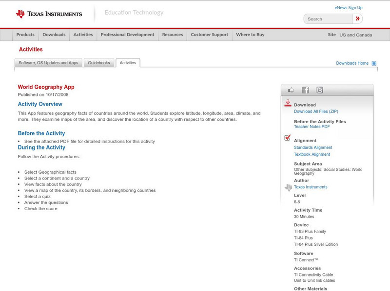
Texas Instruments: World Geography App
This classroom activity features geography facts of countries around the world. Students explore latitude, longitude, area, climate, and more. They examine maps of the area, and discover the location of a country with respect to other...
Kidport
Kidport: United States of America Geography
This site contains a fun way to learn about the states within the United States. Click on the state that you want to learn more about and it provides facts, geographic landmarks, points of interest, major industries, a quiz and more.
University of Texas at Austin
University of Texas: Perry Castaneda Library: Brazil Maps
Presents a great collection of maps all having to do with Brazil. There are country maps, city maps, and thematic maps that cover topics such as politics, geography, economy, land use, population, climate, and more.
Other
Conservation History Association of Texas: The Texas Legacy Project: Maps
A collection of links to a variety of maps and exercises about state resources, and help give historic background and regional context to the environmental issues that arise in Texas.
University of Texas at Austin
Perry Castaneda Library Map Collection: Historical Maps of Russia
This outstanding collection of historical maps contains a wide variety of maps from various parts of the Soviet Union as well as the former Soviet Republics, and from different parts of history. Each map is accompanied by a brief...
University of Texas at Austin
Ut Library: Perry Castaneda Maps of Massachusetts
A collection of current and historic maps of Massachusetts, along with maps of cities and national parks in the state.
University of Texas at Austin
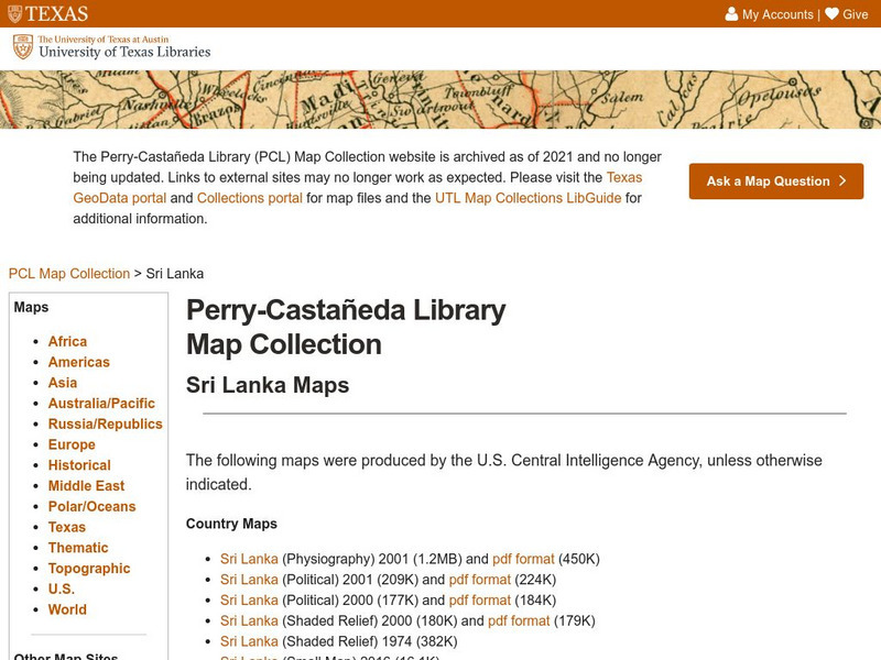
Perry Castaneda Library Map Collection: Sri Lanka Maps
This resource provides several country, city, historical and thematic maps detailing the country of Sri Lanka. PDF (requires Adobe Reader)
Enchanted Learning
Enchanted Learning: Major Rivers of Texas
This is a very brief site that offers a map with the major rivers of Texas.
Other
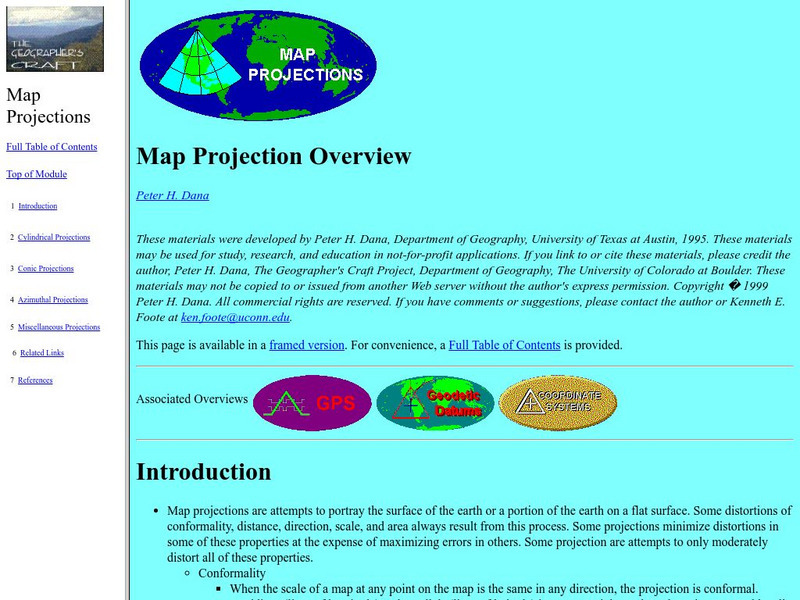
University of Connecticut: The Geographer's Craft: Map Projection Overview
An advanced overview of map projections with illustrative graphics. Created by Peter H. Dana, Department of Geography, University of Texas at Austin in 1995.
Texas Instruments
Texas Instruments: Navigating the Usa With the Coordinate Plane
The students will be plotting points on the United States Map. This background and activity could be used and/or modified to fit any social studies class. Students could explore topics ranging from graphing coordinates in pre-algebra to...
A&E Television
History.com: The States
Learn unique facts about each American state. You can also read a more in-depth history of each state, watch videos and play a game about all the states.


