Hi, what do you want to do?
Smithsonian Institution
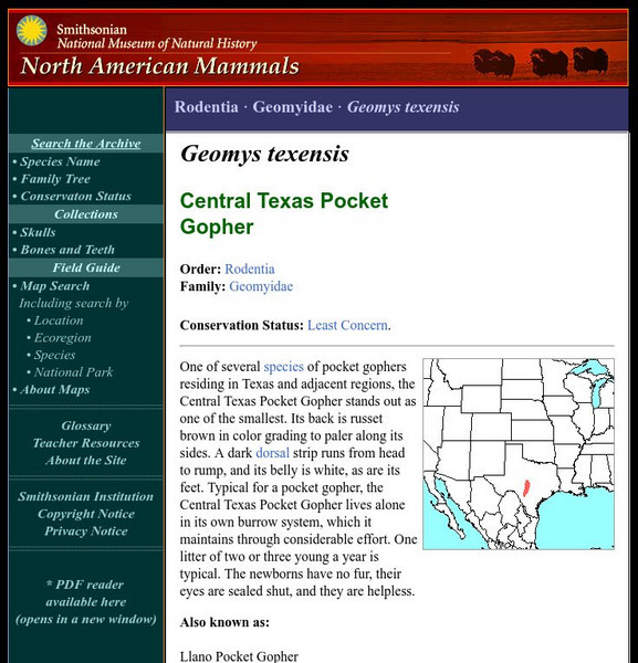
National Museum of Natural History: American Mammals: Llano Pocket Gopher
One of several species of pocket gophers residing in Texas and adjacent regions, the Llano Pocket Gopher stands out as one of the smallest. Its back is russet brown in color grading to paler along its sides. Learn more about the Geomys...
University of Texas at Austin
Map of Disputed Areas in Kashmir
A comprehensive map of the region of Kashmir and the areas under dispute by India and Pakistan.
eSkeletons
E Skeletons: Tarsier
Examine the skeletal anatomy of the Tarsier's skull illustrated through the University of Texas at Austin's eSkeleton lab.
Other
The Dallas Morning News
The Morning News is the daily newspaper publication for the city of Dallas, Texas. The Morning Star features sections in sports, metro news, regional news, local news, business, technology, politics, lifestyles, entertainment, and...
Annenberg Foundation
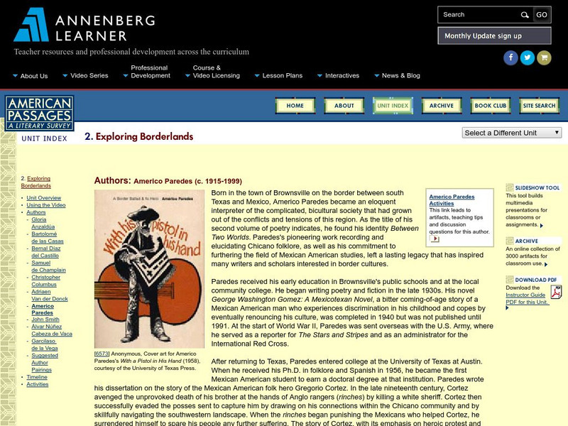
Annenberg Learner: American Passages: Exploring Borderlands: Americo Paredes
This passage highlights the contemporary contributions to Chicano history and culture by Americo Paredes, through various mediums. Click on "Americo Paredes Activities" for related artifacts and activities.
University of Texas at Austin
Perry Castaneda Library Map Collection
Maps from all over the world can be printed from this site. Find historical maps of the world; thematic maps; and world, continent, country, state, and county maps for your use.
US Department of State
Bureau of International Information Programs: History Outline: Sectionalism
Article reviews several conditions of American society that sowed the seeds of civil war, particularly slavery and sectional conflict.
Climate Literacy
Clean: Us Energy Production and Consumption
In this lesson students will compare and contrast regional energy production of 5 different US regions, including California, Illinois, Pennsylvania, Texas, and Washington. Students will also analyze production and consumption data of US...
Ed Koday
Web Archive: Luna Moths
Luna moths are one of the most unusual and beautiful of the North American moths known as Saturnidae. They are well known for their green-yellow colors and long tails,and although they are often seen in pictures, they are a real surprise...
Other
The Centennial Museum and Chihuahuan Desert Gardens
The Centennial Museum is an academic support and outreach unit of the University of Texas at El Paso focusing on the natural history and the indigenous, colonial, pre-urban, and folk cultures of the border regions of the southwestern...
Smithsonian Institution
National Museum of Natural History: American Mammals: White Ankled Mouse
The White-ankled Mouse is common in rocky areas in both dry and humid regions on the Central Plateau of Mexico and in west and central Texas, southern New Mexico, and Oklahoma. It clearly prefers rocky situations, whether it lives in...
Smithsonian Institution
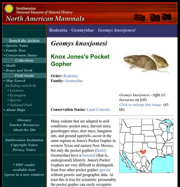
National Museum of Natural History: American Mammals: Jones's Pocket Gopher
Many rodents that are adapted to arid conditions--pocket mice, harvest mice, grasshopper mice, deer mice, kangaroo rats, and ground squirrels--occur in the same regions as Jones's Pocket Gopher in western Texas and eastern New Mexico,...
Digital History
Digital History: The Disputed Election of 2000
Online summary of the dispute over the presidential election of 2000 and the outcome.
Curated OER
Etc: Maps Etc: Relief of the United States, 1904
A relief map from 1904 of the United States showing the mountain systems and highlands, plateaus, plains, lakes, rivers, and coastal features. This map divides the area into the main groups of the St. Lawrence Basin, Allegheny Region,...
Curated OER
Educational Technology Clearinghouse: Maps Etc: North America, 1783
A map of North America, Central America, and northern South America at the end of the American Revolutionary War (1783). The map is color-coded to show the territory of the United States at the time, British possessions in Canada,...
Curated OER
Etc: Oregon Trail and Other Routes, 1832 1842
A map of western North America between the opening of the Oregon Trail in 1832 to 1842, prior to the establishment of the Provisional Government of Oregon by American settlers in 1843. The map shows the boundary of the Oregon Country,...
Curated OER
Etc: Territorial Development of the United States, 1783 1889
A map from 1889 of North America showing the expansion in the region of the United States from the original Thirteen Colonies at the end of the Revolutionary War in 1783 to the time the map was made, around 1889, before the territories...
Curated OER
Educational Technology Clearinghouse: Clip Art Etc: Stephen F. Austin
(1793-1836) Known as the "Father of Texas," he led the Anglo-American colonization of the region.
Other popular searches
- Regions of Texas
- Natural Regions of Texas
- 4 Texas Regions
- Four Regions of Texas
- Texas Regions Map
- Texas Regions Geography
- Map of Texas Regions
- Texas Regions and Climate
- 7th Grade Texas Regions
- Texas Regions Lesson Plans
- 4 Regions of Texas
- Texas Regions 3rd Gr


