Hi, what do you want to do?
PBS
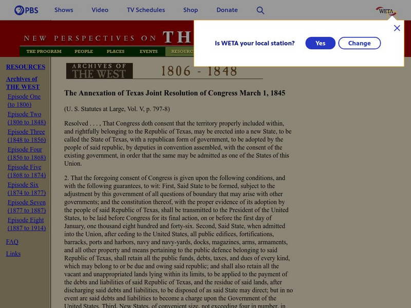
New Perspectives on the West: Annexation of Texas Joint Resolution
This site, which is provided for by the Public Broadcasting Service, gives the text of the Texas Joint Resolution, which made Texas part of the United States.
Texas Public Broadcasting
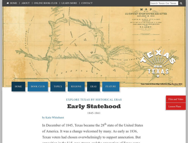
Texas Pbs: Texas Our Texas: Early Statehood 1845 1861
Examines the circumstances surrounding Texas's entry into the Union in 1845 as a slave state. It was an uneasy union, with ongoing controversy around the issue of slavery. This lasted through the Mexican-American War and helped to...
Houghton Mifflin Harcourt
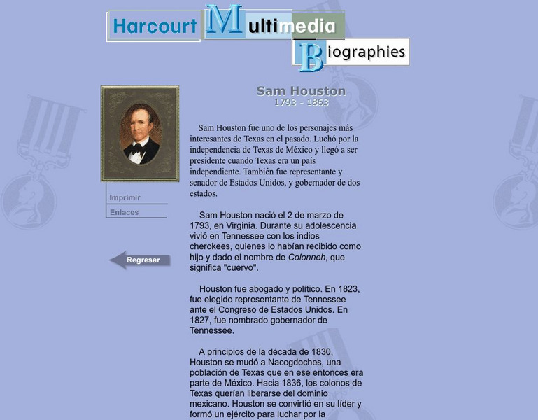
Harcourt: Biographies: Samuel Houston
Learn about one of the great founders of the state of Texas. Sam Houston led Texans through many difficult years and is rightfully remembered for his role in Texas' independence and statehood. (In Spanish)
Curated OER
Etc: Territorial Development of the United States, 1783 1889
A map from 1889 of North America showing the expansion in the region of the United States from the original Thirteen Colonies at the end of the Revolutionary War in 1783 to the time the map was made, around 1889, before the territories...
Curated OER
Educational Technology Clearinghouse: Maps Etc: United States, 1845
A map of the United States in 1845 after the Louisiana Purchase, the Lewis and Clark Expedition, and the annexation of Texas. The map is color-coded to show the States and territory of the United States west to the Pacific with the dates...


