Curated OER
Hawaii: State History
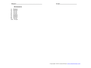
In this Hawaii state history learning exercise, 4th graders read three pages of state history then complete 10 true and false questions.
Curated OER
Utah: State History
In this Utah state history worksheet, students read two and a half pages of information about Utah and complete 10 true and false questions.
Curated OER
State Database Lesson
Fifth graders create a database about the geography of the United States. The access to a computer is essential for this lesson plan. The outcome is that technology is used as a tool to measure student understanding of geographical...
Curated OER
State Internet Search: A Mathematical Introduction To State Reports
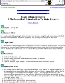
Students locate the population and square mileage of at least one state. Using this information students graph the population and the area of the 50 states individually and as a class, then analyze the information.
Curated OER
Let’s Learn the 50 States
In this 50 states worksheet, students listen to a song titled "Let's Learn the 50 States," then solve missing letters word puzzles and are given a web link to play a state game.
Curated OER
States And Shapes
Students work together and investigate the shapes of 50 states. They identify the states that they find hardest to recognize. The group then list the states in order from most difficult to just difficult to recognize and create a...
Curated OER
Making Cents of Independence
Have your class explore the history of Texas using this comprehensive lesson! They read about Texas' march toward statehood, the Alamo, and more. There is a series of worksheets, graphic organizers, and a rubric which make this activity...
Perkins School for the Blind
The Three Basic States (Phases) of Matter
There are three basic states of matter: Solid, liquid, and gas. Help your learners with visual impairments to understand the chemical nature of each state of matter with tactile elements. Marbles are used to model the particles in each...
Curated OER
American States And Their Nicknames
In this social studies worksheet, learners match the American states with their nicknames. There are no examples and no hints given on the page.
Curated OER
Run/Walk Across America
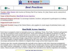
Walk, jog, or run across America. Maps of individual states, visual progress, competition, and rewards, seem to be great motivational ideas. Make sure that the distances that each class has to walk or run are the same, because getting...
Curated OER
Digging Up Wyoming
Fourth graders give an oral report. In this state symbols lesson, 4th graders use the Internet to complete a scavenger hunt on the state symbols of Wyoming. Students choose one of the symbols and present it in an oral report.
Curated OER
Discovering American Symbols
Help youngsters get to know their states and capitals, explore their own country, and study American symbolism. They take a "trip" across America collecting symbols, images, and information about each state as they go (through text and...
Curated OER
Third Grade Social Studies
In this social studies worksheet, 3rd graders complete multiple choice questions about laws, government, states, and more. Students complete 25 questions.
Curated OER
Geography A to Z: The Letter J
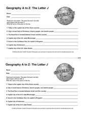
How many states, capitals, countries, and locations do your kids know that begin with the letter J? Hopefully they know seven of them, because that's the number of questions on the fun and fast worksheet.
Curated OER
Probability and the U.S. Map
Learners solve and complete 20 different problems that include using a U.S. map and data table. First, they calculate the probability that they will select a state that begins with each letter of the alphabet. Then, everyone completes...
Curated OER
State Capitals
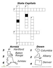
For this state capitals worksheet, students fill in a crossword puzzle as they figure out the capitals to the fifty states of the United States.
Curated OER
State Names
For this state names worksheet, students fill in the correct state names for the capital cities given. Students fill in 50 state names for all of the states.
Curated OER
Indiana State Map
In this state maps worksheet, students identify the state of Indiana and fill in the state capital, major cities, and other attractions in the state.
Curated OER
50 States Word Search
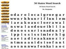
In this fifty states worksheet, students identify and locate all fifty states of the United States of America. There are 50 states located in the word search.
Curated OER
The National Government and the 50 States
Test your government students' knowledge of the National Government with this review worksheet. Posing five true/false questions and five multiple choice questions about elements of the National Government, this activity could serve as a...
Curated OER
States Database Searching and Sorting
Fifth graders search and sort prepared databases for information to use in classroom projects, locate, gather, evaluate, organize, and analyze information.
Curated OER
History of Coal in the United States
Students examine a timeline of coal mining in the US and research how the policies of coal dependent companies have changes over the last 50 years.
Mr. Printables
Map of The USA Jigsaw Puzzle
Encourage young learners to explore the United States with this printable map puzzle. A fun activity that engages children in learning US geography.
Curated OER
Texas Map
In this Texas worksheet, students explore the state of Texas. Students look at a blank map of Texas and add the state capital, major cities, and any other major attractions of the state of Texas on the blank map.

