US National Archives
Nara: Pictures of the Revolutionary War
Black and white reproductions from famous paintings by the National Archives and Records Administration. There are paintings of battle scenes, famous participants, traitors and even a perspective from the British point of view.
Other
West Point: The American Revolution
A series of strategic maps, including battlegrounds, camp areas, sieges, and other key events of the American Revolution. In addition, students and teachers will find PowerPoint presentations on battles and campaigns of the American...
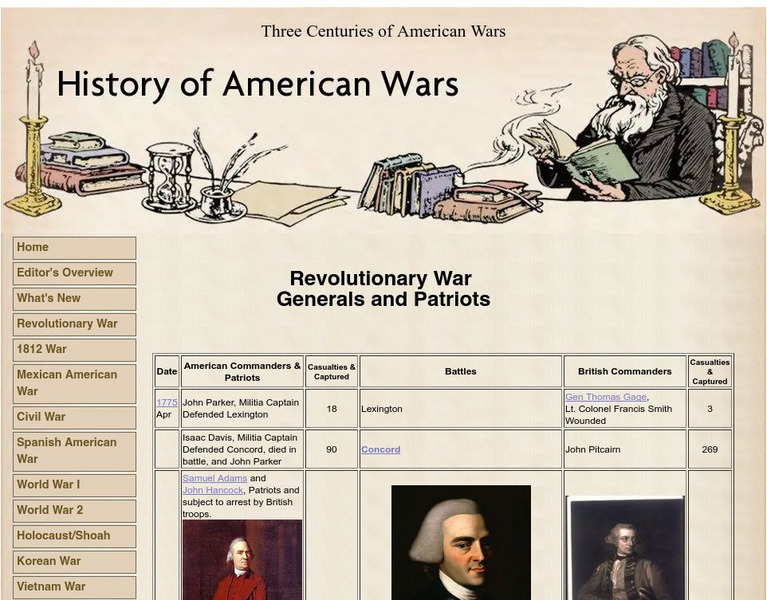
History of American Wars
History of American Wars: Revolutionary War Generals and Patriots
A timeline listing the American Commanders and Patriots and British Commanders who participated in the Revolutionary War.
Curated OER
Etc: Areas of the N. American Revolutionary War, 1775 1783
A series of maps showing the country around Boston, the immediate vicinity of Boston, and the country between New York City and Philadelphia during the American Revolutionary War period. These maps show cities and towns, forts, rivers,...
Other
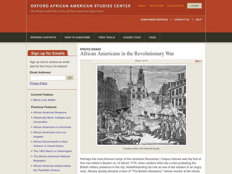
Oxford Aasc: African Americans in the Revoluionary War
A great display of paintings along with commentary about ten African Americans who were involved in the Revolutionary War era.
Other
Nps: Battles in the South, 1778 1781 [Pdf]
A great map showing the battles fought in the South in the Revolutionary War. From the National Park Service.
Library of Congress
Loc: American Revolution and Its Era: Maps & Charts
A few maps and some good text on the topography and its importance during both the American Revolution and the French and Indian War.
Curated OER
Etc: American Rev War Campaigns in the North, 1775 1783
A map of the region involved in major northern campaigns of the American Revolutionary War. The map shows cities, towns, and forts, rivers and terrain features, and is keyed to show British and American routes during the campaigns. An...
Curated OER
Etc: American Rev War Campaigns in the South, 1775 1783
A map of the portions of Virginia, North Carolina, South Carolina, and Georgia involved in major campaigns of the American Revolutionary War. The map shows cities, towns, and forts, rivers and terrain features, and is keyed to show...
Curated OER
Etc: American Rev War Operations in the West, 1775 1782
A map of the Northwest Territory between the Allegheny Mountains and the Mississippi River and the Great Lakes to the Tennessee River showing the military operations and extent of settlement in the area during the American Revolutionary...
Other
Maps of the American Revolution
Although this is a "selling" site, it is a good resource that not only supplies images of maps of the times, but provides the background to the map - when it was published, what was going on at the time, etc.
Smithsonian Institution
National Museum of American History: Price of Freedom: Tricorn Hat
See a picture of the tricorn hat, worn by militiamen in the Revolutionary War. You can also read about the history of this particular hat.
Curated OER
Etc: Campaigns in the South the Revolutionary War, 1775 1783
A map of the portions of Virginia, North Carolina, South Carolina, and Georgia involved in major campaigns of the American Revolutionary War. The map shows cities, towns, and forts, rivers and terrain features, and is keyed to show...
Curated OER
Etc: Campaigns in the North the Revolutionary War, 1775 1783
A series of maps showing the northern campaigns of the American Revolutionary War, including the Hudson Valley and Saratoga campaign, a detail of Ticonderoga, the vicinity of Burgoyne's surrender, the Battle of Long Island, and an...
Curated OER
Etc: Theatre of the American Rev War in the South, 1775 1783
A map of the southern theater of the American Revolutionary War from the Chesapeake Bay south to Savannah, showing major cities and towns, forts, and important battle sites of the period. An inset map details Yorktown, site of the final...
Other
History View: Uss Yorktown Cv 10
Take a virtual trip to see the USS Yorktown, one of 24 Essex-class aircraft carriers built during World War II for the United States Navy. She is named after the Battle of Yorktown of the American Revolutionary War and is the fourth U.S....
Curated OER
British Library: Online Gallery: The American Revolution
Part of the British Library's On-line Gallery series. This section explores, in comprehensive detail, the American Revolution. The Gallery includes an introduction, a timeline of events and lots of documentary and pictorial evidence....
Smithsonian Institution
National Museum of American History: Price of Freedom: Regimental Uniform Coat
A photograph of the regimental uniform coat of an officer in the Continental Army. Includes a description of this particular coat and gives information about where the uniforms were manufactured.
Smithsonian Institution
National Museum of American History: Price of Freedom: George Washington's Uniform
View a photo and read a brief description of George Washington's uniform. Also includes an explanation of Washington's attention to the symbol of the uniform. Displayed in the National Museum of American History.
Curated OER
Etc: Operations in South During the Amer Rev War, 1780 1781
A map showing the southern operations (1780-1781) during the American Revolutionary War. The map shows terrain, rivers, and major battle sites from the northern Virginia line south to St. Augustine, which was at the time a Loyalist...
Curated OER
Etc: The Colonies During the Revolutionary War, 1775 1783
A map of the Thirteen Colonies during the American Revolution. The map shows the territorial claims west of the Allegheny Mountains, and includes inset maps detailing the vicinity of Philadelphia, the vicinity of Boston, and the vicinity...
Curated OER
Etc: The War in the South, 1780 1781
A map of the southern campaigns (1780-1781) during the American Revolutionary War, keyed to show the movements by both American and British forces. The map shows major cities, towns, forts, and significant battle sites of the war.
Curated OER
Etc: Native American Delimitations, 1763 1770
A map of the American colonies and territories west to the Mississippi River between the end of the French and Indian War of 1763 and the beginnings of westward expansion of the trans-Appalachian colony proposed in the Vandalia Project...
Curated OER
Etc: Maps Etc: The War in Northern New York, 1777
A map of the Adirondack Mountains, southern Lake Champlain, eastern Lake Ontario, and Hudson River Valley south to Peekskill showing the important battle sites of the area during the American Revolutionary War.


