Hi, what do you want to do?
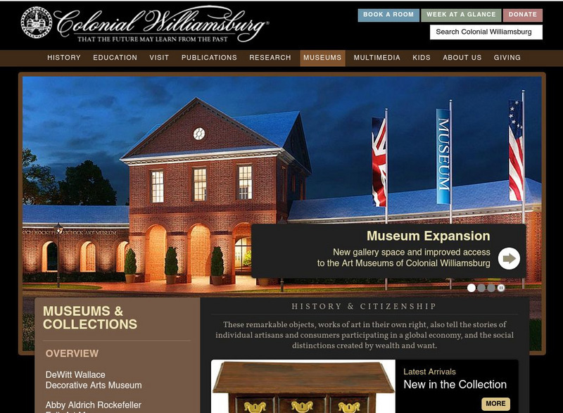
Colonial Williamsburg Foundation
Colonial Williamsburg Museum
This is the Colonial Williamsburg home page. Includes a virtual field calendar educational information, calendar of events, and tourism information.
A&E Television
History.com: Why Isn't Puerto Rico a State?
Located about a thousand miles southeast of Florida, Puerto Rico is a Caribbean archipelago with a complex colonial history and political status. As a territory of the United States, Puerto Rico's 3.2 million residents are U.S. citizens....
Virginia Commonwealth University
Vcu: American Romanticism (Archived Content)
This site, from Ann Woodlief's Introduction to American Romanticism (or the American Renaissance) defines the Romantic movement in American literature and discusses its major themes.
University of Texas at Austin
Perry Castaneda Library Map Collection: u.s. Maps
At this site find any type of map on the U.S. and any of its states here. Great site for teachers to print out maps to use in the classroom.
Travel Document Systems
Tds: Barbados: Government
Read about the government of Barbados which is based on the British parliamentary system. You can find out about the elections, political parties, and branches of government. Information from the U.S. State Dept. Background Notes.
AllRefer
All Refer Reference: Russia: Government and Politics
This 1Up Info page provides several paragraphs of information on the politics and government of Russia. Includes information on the type of government and political parties of the country, plus the divisions of the government, foreign...
Travel Document Systems
Tds: Grenada: Government
A look at the government of Grenada and its political parties. The government is based the British parliamentary system. A chart is provided naming the public officials, and information about the branches of government. Information is...
Travel Document Systems
Tds: Solomon Islands: Government
A very current look at the political scene in Solomon Islands. Find out about the governmental structure, the problems with the government, and a list of the current governmental officials. Information is from the U.S. State Dept....
Curated OER
University of Texas: Maps: Kyrgyzstan: Political Map
This political map of Kyrgyzstan from University of Texas shows the provinces, cities, railroads, and major roads.
Curated OER
University of Texas: Maps: Tajikistan: Physical Map
This relief map of Tajikistan from the University of Texas' map collection shows the mountains and bodies of water in that country.
Curated OER
University of Texas: Uzbekistan
A political map of Uzbekistan from the Perry-Castaneda collection showing the cities, province boundaries, major highways and railroads.
Curated OER
University of Texas: Uzbekistan: Relief Map
A relief map of Uzbekistan clearly showing the mountainous eastern region and relatively flat west. Bodies of water are also marked on the map.
Curated OER
University of Texas: Azerbaijan: Political Map
A political map of Azerbaijan from the Perry-Casataneda collection. You can find the major cities, highways, and railroads, as well as some physical features.
Curated OER
University of Texas: Azerbaijan: Relief Map
A relief map of Azerbaijan from the Perry-Castaneda collection. You can easily see the bodies of water and mountainous regions.
Curated OER
University of Texas: Georgia: Political Map
A political map of Georgia showing the major cities, highways, rail lines, and autonomous republics. From the Perry-Castaneda collection.
Curated OER
University of Texas: Political Map of Ukraine
A political map of Ukraine showing its major cities, highways, and neighboring countries. Clicking on the image will enlarge it. From the Perry Castaneda Collection.
Curated OER
University of Texas: Moldova: Political Map
A political map of Moldova showing its major cities and highways, counties, and neighboring countries. Clicking on the map will enlarge it. From the Perry Castaneda Collection.
University of Texas at Austin
University of Texas: Armenia Relief Map
This relief map of Armenia from the Perry-Castaneda collection shows how mountainous this Caucasus country is. It also demarcates the provinces and traces the rivers.
Curated OER
University of Texas: Maps: Central Asia: Fuel and Energy Centers
Looking for coal reserves in Central Asia? This map from the University of Texas shows the fuel reserves and energy sources in the Central Asia region.
Curated OER
University of Texas: Turkmenistan Political Map
This simple map of Turkmenistan from the Perry-Castaneda collection shows the welayat (province) boundaries, major cities, roads, and rail lines along with the neighboring countries.
Curated OER
University of Texas: Relief Map of Ukraine
A relief map of Ukraine clearly showing the Carpathian Mountains in the west and the Dnieper River running through the middle of the country. Clicking on the map will enlarge it. From the Perry Castaneda Collection.
NSTATE
Net State: Massachusetts State Symbols
This Netstate.com site contains a listing of Massachusetts state symbols, along with other statistics about the state.
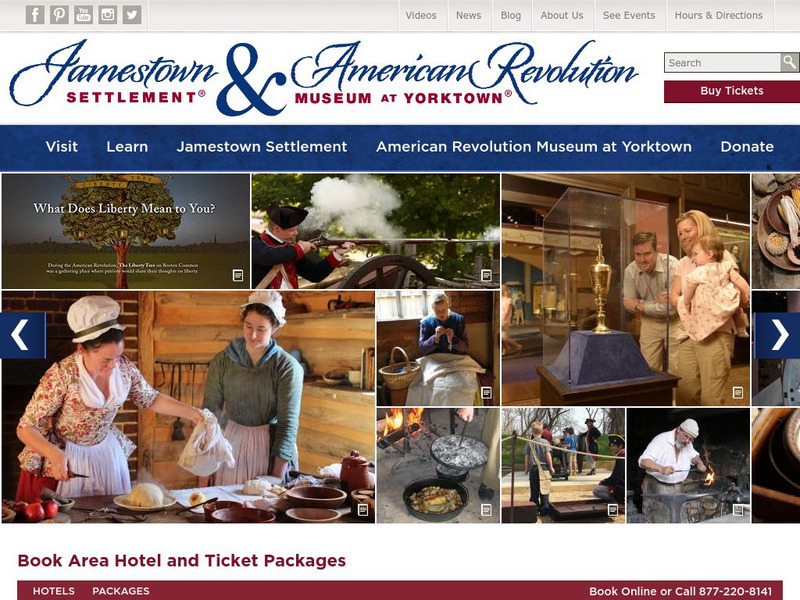
Jamestown-Yorktown Foundation
Jamestown Settlement and Yorktown Victory Center
Learn about life in the colonial settlement of Jamestown and the Revolutionary War battle at Yorktown.
Digital History
Digital History: Collapse of Communism
Overview of the collapse of communism at the end of the 1980s and early 1990s ushered in by Mikhail Gorbachev and his reforms.


