Hi, what do you want to do?
Other
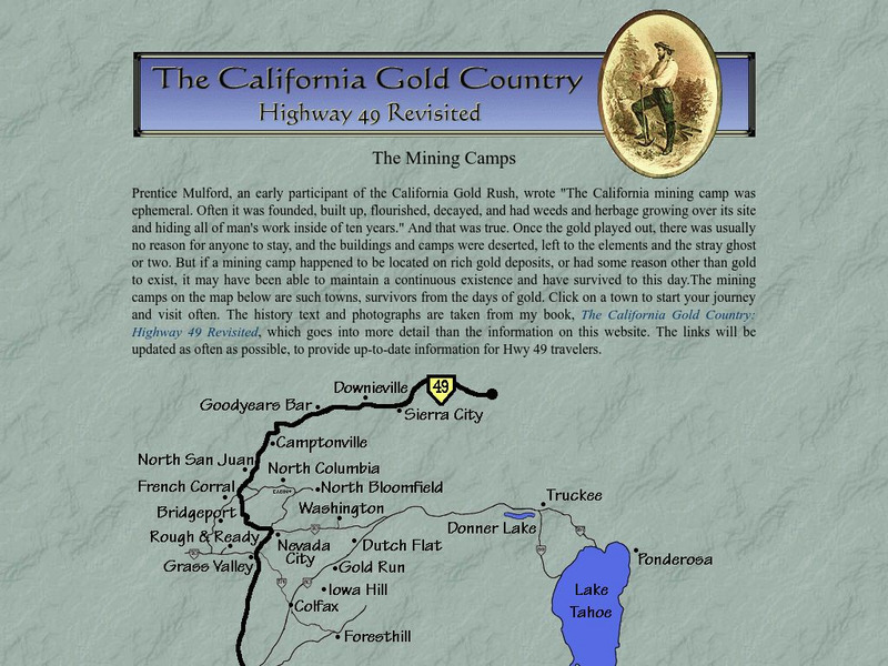
The California Gold Country: The Mining Camps
This site is based on the book The California Gold Country: Highway 49 Revisited by Elliot H. Koeppel. This page provides an interactive map showing gold mining camps that have survived and exist as towns today. Most of the place names...
Other
Combined Arms Research Library: Atlas of the Sioux Wars:
An in-depth look at the Sioux Wars from 1862-1877. Included are maps for many topics discussed.
Other
Alaska Department of Education: Alaska's Gold
This comprehensive resource looks at the discovery of gold through the use of nonconventional means. Students read diaries, newspapers, maps, photographs, and government documents and view things people used in their everyday lives.
Curated OER
Educational Technology Clearinghouse: Maps Etc: Hay Herbert Treaty, 1903
A map of the southern border of Alaska and Canada showing the area of boundary dispute and the boundary established by the Hay-Herbert Treaty between Britain and the United States in 1903. The map shows the coastline and fjords of the...
Curated OER
Etc: The Alaskan Boundary Dispute, 1825 1903
A map of the northern Pacific coastland of North America showing the territorial dispute of the Alaska boundary from the Anglo-Russian Treaty of St. Petersburg in 1825 that established the British claims, the purchase of the area by the...
Royal British Colombia Museum (Canada)
British Columbia Archives
Enjoy spending some time searching through the central archives service for the government of British Columbia which "provides research access to records of enduring value to the province for both the provincial government and public...
Curated OER
National Park Service: California National Historic Trail
This site from the National Parks Service gives a brief history, and description of the California trail system which was used by settlers moving to California during the 1849 Gold Rush days.
Curated OER
Etc: Maps Etc: Distribution of Population , 1850
A map of the United States showing the population distribution in 1850. The map is coded to show population densities ranging from under 2 inhabitants per square mile to over 90 inhabitants per square mile. The map illustrates the...
Library of Congress
Loc: Teachers: Journeys West
A series of lessons utilizing primary texts, including narratives, photographs, and maps, through which students explore the following question: "What motivated thousands of people to journey west during the 1800s?"
Curated OER
Etc: Alaska Boundary Controversy, 1867 1903
A map of southeastern border of Alaska and Canada showing the area of boundary dispute and the boundary established by the Hay-Herbert Treaty between Britain and the United States in 1903. The map shows the coastline and fjords of the...


