Hi, what do you want to do?
Curated OER
FROM SEA TO SHINING SEA
Identify agricultural products grown in each region of the country.
Discuss how geography affects what is grown or raised in a particular area.1. Hand out a copy of the two activity sheets "Food From Sea to Shining Sea" to each student....
Curated OER
Narrative Literature Response Letters
Students design, in groups, a travel brochure to address the the idea of migration referred to in the book or books read. The brochures should include graphics, photos, and words. The brochures should also include mathematical...
Curated OER
Exploring Earth Through Maps and Technology
In this maps instructional activity, students read 3 pages of detailed information about maps, latitude, longitude, topography, satellites and global positioning. Students then answer 10 questions. There is also a research project...
Curated OER
Graphin' And Glyphin' Utah Weather
Fourth graders investigate the concepts of looking at sets of data. The focus of the study is upon the local weather of Utah. They study the weather found in the city and in the country and make comparisons based upon geographical location.
Curated OER
Strangers in Their Own Land
Students use interview techniques to explore the traditional wisdom of fishers, farmers, First Nations, and other peoples whose close relationship with nature gives them a deeper understanding of, and sensitivity toward, climatic cycles...
Curated OER
Observing Capitalization Rules
In this capitalization activity, students complete three activities that help them follow the rules for capitalization in their writing.
Curated OER
Air: Air Quality Picture Project
Young scholars recognize which activities contribute to poor air quality and which contribute to good air quality. They discover how air quality is measured, and come up with ways that humans can have a positive affect on air quality.
Curated OER
Crossword
In this crossword worksheet, students, after studying about bugs, birds and ducks, complete a crossword puzzle involving twelve key clues.
Curated OER
Graphin' and Glyphin' Utah Weather
Fourth graders use glyphs as a way to visually represent information about Utah weather. These nonverbal representations help students collect and interpret data in a visual format.
Curated OER
Route Map Lesson Plan
Students read and make a route map by following step by step directions. They identify and make legends.
Other
Native Peoples of the Great Lakes Region
The Iroquois and Five Nations dominated the Great Lakes and forced other nations out.
United Nations
United Nations: Cartographic Section: Great Lakes Region (Map 2) [Pdf]
This map of the Great Lakes region in Africa from the United Nations shows the large lakes, the countries the lakes touch, and rivers that flow into and out of the lakes.
United Nations
United Nations: Cartographic Section: Great Lakes Region (Map 1) [Pdf]
The United Nations offers this very clear map of part of the Great Lakes region in eastern Africa. The lakes, of course, are labeled, as are the rivers, major cities, and countries.
University of Wisconsin
University of Wisconsin: Paradise Lost?: Teaching Climate Change in the Great Lakes Region
This website is designed as a resource for high school and middle school teachers on the topic of climate change. The emphasis of this site is on providing hands-on activities. Includes activities that involve language arts, social...
Other
Glin: Habitats of the Great Lakes Region
This site profiles the elements of the Great Lakes' ecosystems and habitats.
Other
Glfc: Sea Lamprey Control in the Great Lakes: A Remarkable Success!
Good article from the Great Lakes Fishery Commission about the ongoing battle with the sea lamprey, an invasive species, in the Great Lakes Region of the U.S.
TED Talks
Ted: Ted Ed: What's So Great About the Great Lakes?
The North American Great Lakes- Huron, Ontario, Michigan, Erie, and Superior- are so big that they border 8 states and contain 23 quadrillion liters of water. They span forest, grassland, and wetland habitats, supporting a region that's...
Other
Environment Canada: Native Peoples Great Lakes Region
This site provides information on the Indians that inhabited the Great Lakes Region upon settlement by Europeans.
PBS
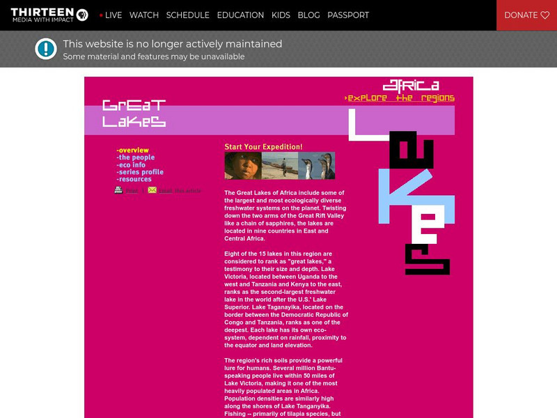
Wnet: Thirteen: Africa: Explore the Regions: Great Lakes
Explore the diverse and unique African Region of the Great Lakes. Within this region, you will learn about the countries, people, and economy. Uncover the beauty and diversity of this incredible region.
University of Michigan
University of Michigan: The Great Lakes: An Environmental History [Pdf]
The University of Michigan provides a PowerPoint presentation on the environmental history of the Great Lakes. Provides aerial shots of the Great Lakes from a satellite, various geographical maps over the Great Lake Region, and pictures...
Other
Milwaukee Public Museum: Indian Country: Oral Tradition
The Milwaukee Public Museum provides this introduction to the Native American oral tradition and oral literature of the Great Lakes region. Describes common themes and characters, including trickster characters and windingo (ice...
Digital Public Library of America
Dpla: Two Hundred Years on the Erie Canal
Learn about the Erie Canal, one of the most famous man-made bodies of water in the world. Completed in 1825, the Erie Canal connected the port of New York City on the Atlantic Ocean with the Great Lakes transforming trade, industry, and...
Curated OER
Educational Technology Clearinghouse: Maps Etc: Great Lakes Region, 1906
A map from 1906 of the Great Lakes Region, showing major cities and ports, canals (including the Erie Canal), rivers, and steamship routes across the lakes, including routes of the St. Lawrence and Lake Champlain.
Read Works
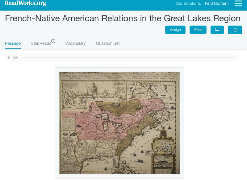
Read Works: French Native American Relations in the Great Lakes Region
[Free Registration/Login Required] This historical passage discusses the relations between the French and Native Americans in the Great Lakes Regions during the 1700's and 1800's. This passage is a stand-alone curricular piece that...


