Hi, what do you want to do?
Cleveland State University
Cleveland State University: Iron
A history of the iron ore industry with a focus on the Great Lakes Region. Well written and interesting.
Curated OER
Etc: Maps Etc: Automobile Routes of the Great Lake Vicinity, 1920
A map from the 1920 Automobile Club of Rochester showing automobile routes in the Great Lakes Region, around western Lake Ontario, and the Canadian portion of Lake St. Clair and southern Lake Huron. The map shows route numbers, mileages...
Curated OER
Educational Technology Clearinghouse: Maps Etc: The Great Lakes, 1812
A map of the Great Lakes region at the outbreak of the War of 1812, showing the sites of initial English successes, including Fort Mackinaw, Fort Dearborn (Chicago), and Detroit, which was surrendered to the English by General Hull.
Other
Great Lakes Information Network: Economy
This site consists of economic information about various midwestern states and industries. Site can be used for students to conduct research. Various aspects about the midwestern economy are included.
Other
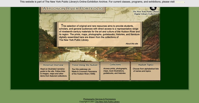
New York Public Library: A Hudson River Portfolio
Learn about the Hudson River and the role it played in the westward and northward expansion of America (to the Great Lakes regions and to Canada) in the nineteenth century. Useful for understanding the importance of rivers as means of...
Curated OER
Map of Great Lakes Tribes. Click for Larger Image.
This site provides information on the Indians that inhabited the Great Lakes Region upon settlement by Europeans.
Annenberg Foundation
Annenberg Learner: American Passages: Native Voices, Chippewa Songs
Study the great oral tradition of the Chippewa Tribe in the Great Lakes regions through their music collected by Frances Densmore. For classroom activities and lesson enhancements click on the link, "Chippewa Songs Activities."
NOAA
Noaa: Freshwater
This site is designed to assist the educator in teaching concepts and processes related to freshwater environments and to increase stewardship of these important resources. There are links to resources regarding the Great Lakes...
Siteseen
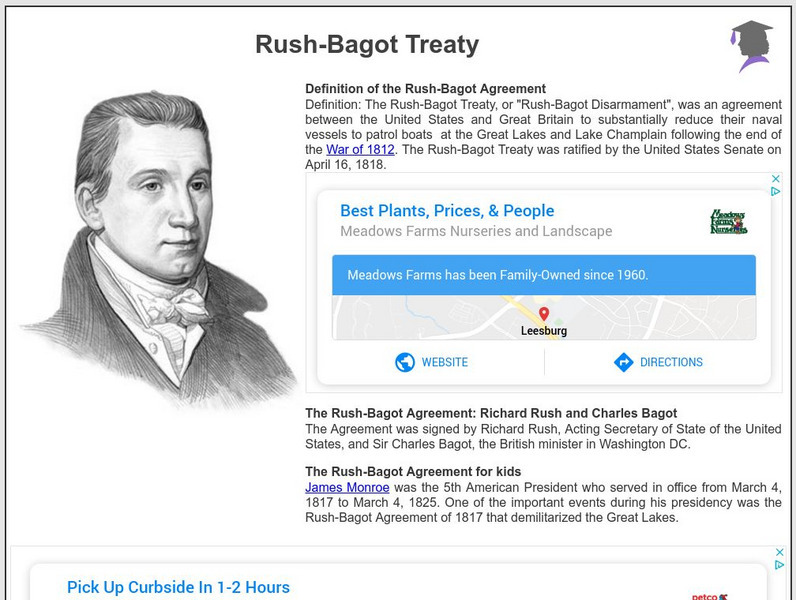
Siteseen: American Historama: Rush Bagot Treaty
Details about the Rush-Bagot Treaty that demilitarized the Great Lakes region.
Nature Conservancy
Nature Conservancy: Animals We Protect: Karner Blue Butterfly
Discover the beauty of the Karner blue butterfly found in the Great Lakes region and the northeast United States.
Curated OER
Etc: Scene of Operations in the War of 1812, 1812 1815
A map of the Great Lakes Region of North America to the Hudson River showing the northern area of conflict during the War of 1812, including the important sites of Fort Dearborn (Chicago), Battle of Tippecanoe, Detroit, Frenchtown (River...
Curated OER
Etc: Maps Etc: The Terminal Moraine (Eastern), Second Glacial Epoch
A map showing the terminal moraine of the second glacial epoch east of the Great Lakes region, including the glacial landscape features of Cape Cod and Nantucket, Long Island, the Catskills and Finger Lakes, and the extreme terminal...
Curated OER
Etc: Maps Etc: The Terminal Moraine (Central), Second Glacial Epoch
A map of the terminal moraine of the second glacial epoch in the Great Lakes region, including the drift bearing area, the generalized directions of glacial movement, the direction of glacial striae, and the locations of prominent...
University of Regina (Canada)
University of Regina: Math Central: Map of First Nations Peoples Pre Contact Culture Areas
A color coded map of North America which contains the regions inhabited by different aboriginal nations.
Other
Aboriginal People's Television Network: Ojibwe Documentary Series
Waasa-Inaabidaaa We Look In All Directions is a six-part documentary series about five hundred years of Ojibwe history and culture for bands in the Great Lakes Region The resource has teacher's guides for each episode, maps, timelines,...
Curated OER
Educational Technology Clearinghouse: Maps Etc: The War of 1812, 1812 1815
A series of maps showing the important sites of the War of 1812-1814 between the United States and England, with insets detailing the northern region of the Great Lakes east to Lake Champlain, the vicinity of Detroit, the vicinity of...
Curated OER
Etc: Northern Region of the War of 1812, 1812 1814
A series of maps showing the northern campaigns, forts, and battle sites during the War of 1812, including details of the campaigns of the Army of the Centre (Lundy's Lane, Beavers Dam, and Burlington Heights), campaigns of the Army of...
Curated OER
Etc: Maps Etc: Relief of the United States, 1904
A relief map from 1904 of the United States showing the mountain systems and highlands, plateaus, plains, lakes, rivers, and coastal features. This map divides the area into the main groups of the St. Lawrence Basin, Allegheny Region,...
Curated OER
Etc: Maps Etc: Forest Map of the United States, 1910
A map from 1910 of the United States showing the forest regions of the Pacific, Rocky Mountains, Northern Forest in the Great Lakes and New England areas, Southern Forest along the Gulf and East Coast, and the Hardwood Forest. The map...
Curated OER
Etc: Maps Etc: The Mississippi River Route of Hennepin, 1697
A facsimile of a portion of the map created in 1697 describing the exploration and discoveries of Father Louis Hennepin in New France and Along the Mississippi. The map shows the region from the Great Lakes to the Gulf of Mexico along...
Curated OER
Educational Technology Clearinghouse: Maps Etc: Northern Campaign, 1812 1814
A map of the Great Lakes region of North America showing the area of conflict during the northern campaign of the War of 1812, from Lake Michigan east to Lake Champlain and the Hudson River. The map shows the routes of Hull, Wilkinson,...
Curated OER
Etc: French Explorations and Settlements, 1611 1764
A map of southern Canada, the Great Lakes region, and Mississippi River Valley to the Gulf of Mexico, showing the French explorations and settlements with dates given from between the establishment of Montreal by Champlain in 1611 to the...
Curated OER
Educational Technology Clearinghouse: Maps Etc: War of 1812, 1812
A series of maps showing the principal campaigns, forts, and battle sites of the War of 1812, including: a map of the northern seat of war in the Great Lakes region of Canada, New York, Pennsylvania, Ohio, and the Michigan Territory; a...
Curated OER
Chippewa Camp. Click for Larger Image.
This site provides information on the Indians that inhabited the Great Lakes Region upon settlement by Europeans.


