Hi, what do you want to do?
Curated OER
Etc: Maps Etc: The Great Powers and Imperialism in China, 1919
A map of China from 1919 showing the territorial possessions claimed in the country under European and Japanese imperialism after the Treaty of Shimonoseki (1895) between Japan and China, and the Conference of Paris, or Paris Peace...
Curated OER
Image From the Origins of World War One
In-depth look at World War I. Includes summaries of the war years; sound clips of eye-witness accounts; virtual tours of trenches on the Western Front; maps; articles and overviews; and similar resources.
Curated OER
Image From From Disaster to Victory: The British Army From 1916 1918
In-depth look at World War I. Includes summaries of the war years; sound clips of eye-witness accounts; virtual tours of trenches on the Western Front; maps; articles and overviews; and similar resources.
Curated OER
Image From the German Front Experience
In-depth look at World War I. Includes summaries of the war years; sound clips of eye-witness accounts; virtual tours of trenches on the Western Front; maps; articles and overviews; and similar resources.
Curated OER
Image From the Human Face of War
In-depth look at World War I. Includes summaries of the war years; sound clips of eye-witness accounts; virtual tours of trenches on the Western Front; maps; articles and overviews; and similar resources.
Curated OER
Image From Life in the Trenches Virtual Tour
In-depth look at World War I. Includes summaries of the war years; sound clips of eye-witness accounts; virtual tours of trenches on the Western Front; maps; articles and overviews; and similar resources.
Curated OER
Image From the Western Front: Lions Led by Donkeys?
In-depth look at World War I. Includes summaries of the war years; sound clips of eye-witness accounts; virtual tours of trenches on the Western Front; maps; articles and overviews; and similar resources.
Curated OER
Image From the Ending of World War One, and the Legacy of Peace
In-depth look at World War I. Includes summaries of the war years; sound clips of eye-witness accounts; virtual tours of trenches on the Western Front; maps; articles and overviews; and similar resources.
A&E Television
History.com: Fourth of July
Great reference tool for finding information on the Fourth of July, America's birthday. Provides history of the holiday, videos, maps, and much more.
Other
Civil War Album: Fort Donelson, Fort Heiman, Fort Henry
This site contains photos taken currently at Fort Donelson and Fort Henry Civil War sites, with some drawings and historical photos. Use the pull-down menu to find a description of the Union victories at Ft. Henry and Donelson, as well...
Other
Macedonian Heritage
Macedonian Heritage offers an extensive look at the history, affairs, and culture of Macedonia. You can see timelines, documents, and look at maps of the area.
Virtual Museum of Canada
Virtual Museum of Canada: Community Stories: Wwi a Commemoration of Residents From Trinity & Area
Primary documents, images,audio clips and maps help to reveal the role Newfoundland, as the oldest British Colony, had during the First World War.
US Navy
Naval History and Heritage Command: By Sea, Air, and Land
From the Department of the Navy, this site provides a detailed description of naval activities and strategy during the war in Southeast Asia. Great maps and pictures too.
University of Illinois
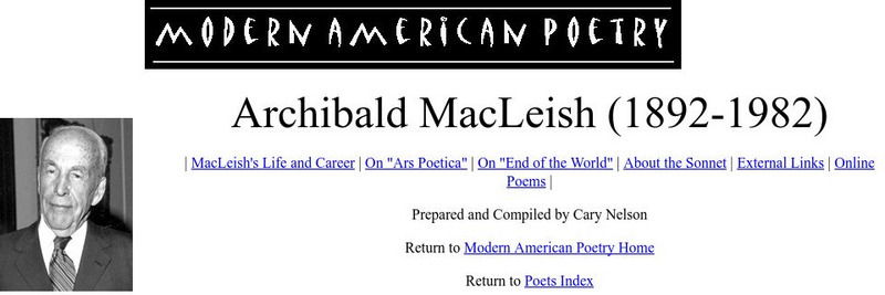
University of Illinois: Modern American Poetry: Archibald Mac Leish
This site houses three poems in full text from the great American poet Archibald MacLeish (1892-1982 CE), as well as criticism on two of his most famous. The three pieces are 'Baccalaureate', 'Two Poems from the War', and 'An Eternity'.
Curated OER
Etc: Maps Etc: War of 1812 Map of Main Operations, 1812
A map of the Great Lakes region showing the main operations during the War of 1812 (1812-1814). It also shows some of the inland waters. This war was between the United States and Great Britain because of "Great Britain's attitude in...
Curated OER
Educational Technology Clearinghouse: Maps Etc: War of 1812, 1812
A series of maps showing the principal campaigns, forts, and battle sites of the War of 1812, including: a map of the northern seat of war in the Great Lakes region of Canada, New York, Pennsylvania, Ohio, and the Michigan Territory; a...
Curated OER
Educational Technology Clearinghouse: Maps Etc: The War of 1812, 1812 1815
A series of maps showing the important sites of the War of 1812-1814 between the United States and England, with insets detailing the northern region of the Great Lakes east to Lake Champlain, the vicinity of Detroit, the vicinity of...
Curated OER
Etc: American Rev War Operations in the West, 1775 1782
A map of the Northwest Territory between the Allegheny Mountains and the Mississippi River and the Great Lakes to the Tennessee River showing the military operations and extent of settlement in the area during the American Revolutionary...
Curated OER
Educational Technology Clearinghouse: Maps Etc: Seat of War, 1812 1814
A map of the Great Lakes and New England region of North America showing the northern area of conflict during the War of 1812, including the important sites of Detroit, Buffalo, Lewiston, Queenstown, Ogdensburg, Battle of the Thames...
Curated OER
Etc: Scene of Operations in the War of 1812, 1812 1815
A map of the Great Lakes Region of North America to the Hudson River showing the northern area of conflict during the War of 1812, including the important sites of Fort Dearborn (Chicago), Battle of Tippecanoe, Detroit, Frenchtown (River...
Curated OER
Educational Technology Clearinghouse: Maps Etc: Battle of Pultawa, June 25, 1709
A map of the Battle of Pultawa, or Pultava in present day Ukraine, during the Great Northern War. The battle was between the army of Peter I of Russia and the army of the Charles XII of Sweden. This battle, fought on 25th June, 1709,...
Curated OER
Etc: Northern Region of the War of 1812, 1812 1814
A series of maps showing the northern campaigns, forts, and battle sites during the War of 1812, including details of the campaigns of the Army of the Centre (Lundy's Lane, Beavers Dam, and Burlington Heights), campaigns of the Army of...
Curated OER
Etc: Maps Etc: Europe After the Treaties of Utrecht and Nystad, 1721
A map of Europe in 1721 after the Treaty of Utrecht ending the War of the Spanish Succession, and the Treaty of Nystad ending the Great Northern War between Sweden and the Russians and Danes. The map shows the northern territories of...
Curated OER
Educational Technology Clearinghouse: Maps Etc: Pylos, 425 Bc
A map of Pylos on the Bay of Navarino, Messenia, Greece, site of the great naval battle between Athenian and Spartan fleets during the Peloponnesian War.


