Hi, what do you want to do?
iCivics
I Civics: Legislative Branch
Young scholars will learn about the structure, function, and powers of the legislative branch of government. They will explore the legislative process, as well as the influence of citizens and political parties. Register for a free...
University of Virginia
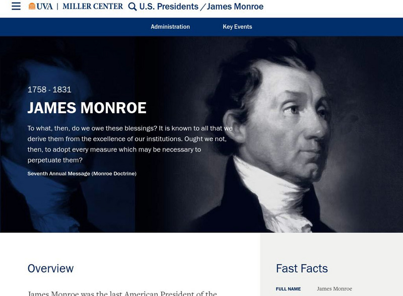
Miller Center at Uva: u.s. Presidents: James Monroe
This site gives a biography of President James Monroe. From the left-hand toolbar, select information about his life before presidency, campaigns and elections, and also domestic affairs. Links to the first lady, cabinet members , and...
iCivics
I Civics: Executive Branch
Students will learn about the executive branch, including the unique role and powers of the president and the function of executive departments and agencies. They will explore key facets of foreign policy and the president's role in it....
Other
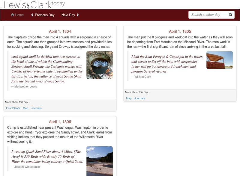
Lewis and Clark Today
The home page for this site changes every day. See where Lewis and Clark are on the day of the home page, or search for a specific day over the period of time that the Corps of Discovery was afield. Find parts of the journals of Lewis...
Curated OER
Etc: Expansion of the United States , 1783 1853
A map from 1904 of the United States showing the territorial acquisitions up to the Gadsden Purchase in northern Mexico in 1853. The map is coded to show the territory of the original United States and the Northwest Territory defined by...
Curated OER
Etc: Expansion of the United States, 1783 1853
A map from 1904 of the United States showing the territorial acquisitions up to the Gadsden Purchase in northern Mexico in 1853. The map is coded to show the territory of the original United States and the Northwest Territory defined by...
Curated OER
Etc: Expansion of the United States, 1783 1853
A map from 1912 of the United States showing the territorial acquisitions up to the Gadsden Purchase in northern Mexico in 1853. The map is color-coded to show the territory of the original United States and the Northwest Territory...
Curated OER
Etc: Territorial Growth of the United States, 1783 1900
A map from 1911 of the United States showing the territorial acquisitions from the original states and territory established in 1783 to the Tripartite Convention of 1899 in which Germany and the United States divided the Samoan...
Curated OER
Etc: Maps Etc: Admission of States to the Union, 1899
A map from 1899 of the United States showing the growth of the nation from the original States in 1783 to the admission of Utah into the Union in 1896. The map shows the Northwest Territory claimed at the end of the American...
Curated OER
Etc: The United States of America, 1783 1853
A map of the United States showing the growth of the nation from 1776-1853. This map is coded to show the thirteen original states, and the territories acquired in 1783, by the Louisiana Purchase in 1803, the northern territories, West...
Curated OER
Etc: Territorial Growth of the United States, 1783 1853
A map from 1907 of the United States showing the growth of the nation from 1776-1853. This map is coded to show the thirteen original states, and the territories acquired in 1783, by the Louisiana Purchase in 1803, the northern...
Curated OER
Educational Technology Clearinghouse: Maps Etc: The Mexican War, 1803 1848
A map of northern and central Mexico and southern United states showing the area of conflict during the Mexican-American War (1846-1848). The map shows the Mexican boundary (under Spain) established by the Louisiana Purchase (1803)...
Curated OER
Educational Technology Clearinghouse: Maps Etc: The Mexican War, 1846 1848
A map of central Mexico and southern United States showing the important cities and battle sites of the Mexican-American War (1846-1848). The map shows the rivers of the contested boundaries that led to the war, the Rio Grande del Norte...
Curated OER
Etc: Maps Etc: The Territory of the United States, After April 30, 1803
A map of the United States in 1803 showing the extent of the territory after the Louisiana Purchase from France. The map is color-coded to show the possessions of the United States, Great Britain, and Spain at the time, and shows the...
Curated OER
Etc: Maps Etc: The Result of the Missouri Compromise, 1821
A map of the United States in 1821 showing the results of the Missouri Compromise of 1820 over the issue of prohibition of slavery. The map is coded to show the areas of the Free States, the Slave States, the Michigan Territory as Free...
US Mint
United States Mint: 2005 Westward Journey Nickel Series Designs
To commemorate the bicentennials of the Louisiana Purchase and the Lewis and Clark expedition, the U.S. Mint modified the nickel to reflect these national milestones. This page has images of the 2005 obverse design of President Jefferson...
University of Georgia
University of Georgia: The Mississippi Territory (1814)
An 1814 American map of the territory of the lower Mississippi valley; part of the larger Louisiana Purchase that President Jefferson purchased from the French in 1803.
Library of Congress
Loc: Teachers: Journeys West
A series of lessons utilizing primary texts, including narratives, photographs, and maps, through which students explore the following question: "What motivated thousands of people to journey west during the 1800s?"
US Mint
U.s. Mint: Our Goal Pole [Pdf]
In this four-part lesson, young scholars will demonstate knowledge of the sequencing of events by studying the westward journey, use terms that indicate the sequence of events and demonstrate an understanding of certain historical...
Pennsylvania Historical and Museum Comission
Explore Pa History: Lewis and Clark in Pennsylvania
Discover the role Lewis and Clark played in history of Pennsylvania in this detailed account. Contained within this site are links to video, maps, and pictorial images of this era.
Annenberg Foundation
Annenberg Classroom: Executive Privilege
Check out this interactive timeline on excutive privilege in the United States.
Colonial Williamsburg Foundation
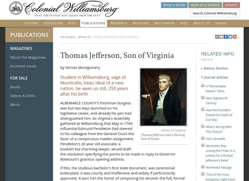
Colonial Williamsburg: Thomas Jefferson, Son of Virginia
Excerpted from the Colonial Williamsburg Journal, this essay offers details of Thomas Jefferson's life and his long and varied career.
US National Archives
Nara: American Originals
A collection of important documents highlighting events in United States history. These at one point were on display in the Rotunda of the National Archives Building. Each document is accompanied by a short description of its significance.
Other
U.s. Genealogy Map Project: u.s. Border/land Claims 1804 1823
A great map and a list of the acquisitions and border changes of the United States from 1804 to 1823. A concise resource showing Western expansion.





![U.s. Mint: Our Goal Pole [Pdf] Lesson Plan U.s. Mint: Our Goal Pole [Pdf] Lesson Plan](https://content.lessonplanet.com/knovation/original/249027-a06b6e1b3a7aa5c8e4fc49293e940618.jpg?1661243094)
