University of Chicago
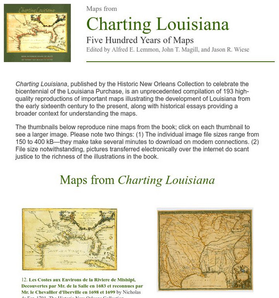
University of Chicago Press: Historic Maps of Louisiana
Features nine maps that represent examples of the one hundred ninety three included in the book "Charting Louisiana" that highlights the history of Louisiana from the sixteenth century to the present. Each map includes an essay for...
Curated OER
Clip Art by Phillip Martin: Louisiana Purchase
A clipart illustration by Phillip Martin titled "Louisiana Purchase."
Tom Richey
Tom richey.net: The Trials of the Jeffersonians [Ppt]
Presents key ideas for examining the impact of westward expansion on concepts of nationalism and democracy. Covers the Louisiana Purchase, conflict with native peoples, the War of 1812, and other events.
Curated OER
Gateway New Orleans: Louisiana Purchase
Read a description of the terms of the Louisiana Purchase. There is a map to show the land that was included in this deal.
Curated OER
Etc: The Louisiana Purchase, 1803 1809
A map of the United States and the Louisiana Territory showing boundary disputes and boundary claims between 1763 and 1809. The map shows the natural boundaries and extent of the original Louisiana Territory claimed by the French, the...
Curated OER
Educational Technology Clearinghouse: Maps Etc: Louisiana Purchase, 1803
A map of the Louisiana territory purchased from France in 1803, and the boundary established with the western Spanish territory by the purchase.
Curated OER
Educational Technology Clearinghouse: Maps Etc: The Louisiana Purchase, 1803
A map of the Louisiana territory purchased from France in 1803, and the boundary established with the western Spanish territory by the purchase. The map overlays the current State boundaries to show the extent of the territory.
Curated OER
Etc: The Louisiana Purchase, 1865 1898
A map of the Louisiana territory purchased from France in 1803, and the boundary established with the western Spanish territory by the purchase. The map overlays the current State boundaries to show the extent of the territory.
Curated OER
Etc: Maps Etc: The United States After the Louisiana Purchase, 1803
A base map showing the extent of the United States after the purchase of the Louisiana territory from France in 1803.
Curated OER
Etc: Maps Etc: The United States Before the Louisiana Purchase, 1800
A base map showing the extent of the United States prior to the purchase of the Louisiana from France in 1803.
Curated OER
Etc: Maps Etc: The Expansion Resulting From the Louisiana Purchase, 1803
A base map showing the expansion of the United States resulting from the Louisiana Purchase in 1803.
Curated OER
Etc: The Territory of the Us Before and After the Louisiana Purchase, 1783 1803
A map of the United States showing the extent of the country prior to, and after the Louisiana Purchase from France in 1803.
Other
The Story of the Us Told in 141 Maps
This collection of United States maps includes a year-by-year. Beginning from the Declaration of Independence and extending to present-day, students will learn explore and interact with these maps that change year-by-year.
Other
U.s. Genealogy Map Project: u.s. Border/land Claims 1804 1823
A great map and a list of the acquisitions and border changes of the United States from 1804 to 1823. A concise resource showing Western expansion.
University of Georgia
University of Georgia: The Mississippi Territory (1814)
An 1814 American map of the territory of the lower Mississippi valley; part of the larger Louisiana Purchase that President Jefferson purchased from the French in 1803.
Curated OER
Etc: Expansion of the United States , 1783 1853
A map from 1904 of the United States showing the territorial acquisitions up to the Gadsden Purchase in northern Mexico in 1853. The map is coded to show the territory of the original United States and the Northwest Territory defined by...
Curated OER
Etc: Expansion of the United States, 1783 1853
A map from 1904 of the United States showing the territorial acquisitions up to the Gadsden Purchase in northern Mexico in 1853. The map is coded to show the territory of the original United States and the Northwest Territory defined by...
Curated OER
Etc: Expansion of the United States, 1783 1853
A map from 1912 of the United States showing the territorial acquisitions up to the Gadsden Purchase in northern Mexico in 1853. The map is color-coded to show the territory of the original United States and the Northwest Territory...
Curated OER
Etc: Territorial Growth of the United States, 1783 1900
A map from 1911 of the United States showing the territorial acquisitions from the original states and territory established in 1783 to the Tripartite Convention of 1899 in which Germany and the United States divided the Samoan...
Curated OER
Etc: Maps Etc: Admission of States to the Union, 1899
A map from 1899 of the United States showing the growth of the nation from the original States in 1783 to the admission of Utah into the Union in 1896. The map shows the Northwest Territory claimed at the end of the American...
Curated OER
Educational Technology Clearinghouse: Maps Etc: United States, 1821
A map of the United States and territories in 1821 after the Missouri Compromise, showing the Free States and territories, the Slave States and territories, and the transitional territories at the time. The map is color-coded to show the...
Curated OER
Etc: The United States of America, 1783 1853
A map of the United States showing the growth of the nation from 1776-1853. This map is coded to show the thirteen original states, and the territories acquired in 1783, by the Louisiana Purchase in 1803, the northern territories, West...
Curated OER
Etc: Territorial Growth of the United States, 1783 1853
A map from 1907 of the United States showing the growth of the nation from 1776-1853. This map is coded to show the thirteen original states, and the territories acquired in 1783, by the Louisiana Purchase in 1803, the northern...


