Hi, what do you want to do?
US Geological Survey
Usgs: Monterey Submarine Canyon, California Moored Array Data Report [Pdf]
This advanced site discusses some of the research done and research techniques used in studies of the Monterey Canyon. Great graphics showing the position of the canyon relative to other features of the continental margin. Also...
Wikimedia
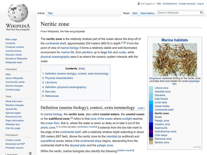
Wikipedia: Neritic Zone
Learn about the neritic zone, also called the sublittoral zone or sea floor.
University of California
University of California, Santa Barbara/abyssal Hills
This article, published in Nature magazine, gives a detailed account of the abyssal plain feature called abyssal hills.
Institute of Marine Science
Forsea: If I Can't See It, How Do I Know It's There?
A diagram showing features of the seafloor and a laboratory experiment involving a model of the seafloor highlight this site. This is a good resource for teachers as well.
Cosmo Learning
Cosmo Learning: Blue Planet: Introduction to Oceanography
A collection of video lectures from an introduction to oceanography course taught at the University of California, Los Angeles. The course gives a general introduction to the processes and history of Earth's global oceanic system in...
Texas Instruments
Texas Instruments: Numb3 Rs: Where's Cheetah?
Based off of the hit television show NUMB3RS, this lesson has students set up a search region for a yacht that sank into the ocean. Using cylindrical coordinates and a little trigonometry, students are able to block off a certain portion...
Mocomi & Anibrain Digital Technologies
Mocomi: Buoyancy
Ever wonder why/how things float? This concept is called buoyancy. Take this interactive journey to learn and understand how and why certain materials float and others sink to the ocean floor.
Woods Hole Oceanographic Institution
Woods Hole Oceanography Institute: Bacteria at Hydrothermal Vents
Discover more about the thermophiles (bacteria) that live in hydrothermal vents ranging from the ocean floor to Yellowstone hotsprings.
Science Education Resource Center at Carleton College
Serc: Aboard Alvin
This Gulf of Maine educational website takes students aboard the submersible Alvin. It includes informational pages such as a project overview, as well as pages about Alvin, hydrothermal vents, and the researchers involved in the...
Extreme Science
Extreme Science: Challenger Deep
A short description of the world's deepest ocean trench. Includes diagram and map.
Science Education Resource Center at Carleton College
Serc: Fire and Ice: Volcanic and Glacial Features on Land and Seafloor
Students learn about glacial and volcanic features by examining and comparing bathymetric and topographic images of the Sand Point area of Alaska.
American Museum of Natural History
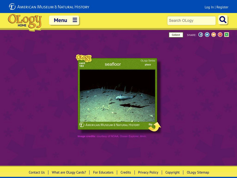
American Museum of Natural History: Seafloor O Logy Card
Learn about the seafloor and the creatures that live there by turning over this interactive OLogy card. Find questions and answers, fast facts, and similar bite-size pieces of information on the subject.
Vision Learning
Visionlearning: Earth Science: Plate Tectonics I: Geologic Revolution
Instructional module focusing on the development of plate tectonic theory. Discussion includes the evidence of Pangaea, and the processes of seafloor topography and seafloor spreading. Site also includes an interactive practice quiz and...
US Geological Survey
Usgs: Mid Oceanic Ridge
This site from USGS provides a map of the mid-oceanic ridge in the sea floor of oceans.
University of California
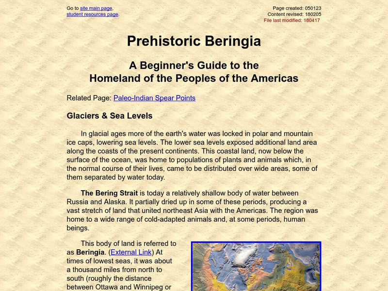
Beringia Chronology: Prehistoric Beringia
The last ice age exposed the ocean floor between Asia and North America for thousands of years. During this time, Nomadic tribes from Asia used the "land bridge" to migrate into North America.
Woods Hole Oceanographic Institution
Woods Hole Oceanographic Institution: Tsunami: An Interactive Guide
A complete, interactive learning activity covering the science of tsunamis, preparedness, research, and historical tsunamis. Excellent animations and real, historical recordings of survivors allow the learner to experience what happens...
US Geological Survey
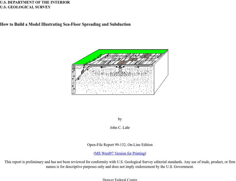
Usgs: How to Build a Model Illustrating Sea Floor Spreading
This is a comprehensive website featuring how to build a model that illustrates sea-floor spreading and subduction. It has diagrams and pictures reviewing major geological concepts.
Science Education Resource Center at Carleton College
Serc: Inquiry Into High Resolution Ice Core and Marine Sediment Records
Activity in which questions are provided relating to interpreting paleoclimate data such as characteristics that make sites favorable for paleoclimate records, locating sites using a map, finding patterns and correlations in the data,...
Curated OER
Unesco: Australia: Macquarie Island
Macquarie Island (34 km long x 5 km wide) is an oceanic island in the Southern Ocean, lying 1,500 km south-east of Tasmania and approximately halfway between Australia and the Antarctic continent. The island is the exposed crest of the...
Curated OER
Unesco: Spain: Teide National Park
Situated on the island of Tenerife, Teide National Park features the Teide-Pico Viejo stratovolcano that, at 3,718 m, is the highest peak on Spanish soil. Rising 7,500 m above the ocean floor, it is regarded as the world’s third-tallest...
Curated OER
Unesco: Korea: Jeju Volcanic Island and Lava Tubes
Jeju Volcanic Island and Lava Tubes together comprise three sites that make up 18,846 ha. It includes Geomunoreum, regarded as the finest lava tube system of caves anywhere, with its multicoloured carbonate roofs and floors, and...


![Usgs: Monterey Submarine Canyon, California Moored Array Data Report [Pdf] Handout Usgs: Monterey Submarine Canyon, California Moored Array Data Report [Pdf] Handout](https://static.lp.lexp.cloud/images/attachment_defaults/resource/large/FPO-knovation.png)


