Hi, what do you want to do?
Curated OER
Geology Word List
In this science worksheet, students review the vocabulary words for the separate categories related to the concept of geology.
Curated OER
Map Coordinate Bingo
Students play a bingo-type game to locate cities by coordinates. They explain the use of orientation on a map and identify cities in the western hemisphere. They compare road maps, shutttle images, and a CIR image and obtain an...
Curated OER
How Does Temperature Change With Respect To Latitude and Longitude?
Learners research the concept of predicting the weather. The research focuses on how some weather facts intuitively make sense. Students answer key questions based upon the mathematical concept of covariance.
Curated OER
Give Me a B: North Dakota Quarter Reverse
Young scholars examine the North Dakota quarter reverse and note the bison. and Badlands displayed on it. After practicing as a group making the B sound, they explore the classrom for more words beginning with that letter. Working in...
Curated OER
Identifying Continents and Oceans
Students locate and identify the four major oceans and the seven continents on a world map. They use an unlabeled world map and compass rose to describe relative locations of the continents and oceans.
Curated OER
Walking that Line
Learners attempt to describe and use longitude and latitude. They will identify different countries, their neighbors, and borders around the world. Included in the lesson plan the students identify natural features that control the...
Curated OER
Students Become Mapmakers
Students practice making a map of a continent and correctly plotting five cities on that map. They place latitude and longitude lines on a map, determine the need for various map projections and explain why map scales are necessary.
Curated OER
Plotting Earthquakes
Young scholars plot earthquakes on a map. In this lesson on earthquakes, students will explore recent earthquake activity in California and Nevada. Young scholars will plot fault lines and earthquake occurrences on a map.
Curated OER
Globe Lesson 6 - Longitude - Grade 6+
In this longitude worksheet, students read a 3-paragraph review of longitude and respond to 13 short answer questions.
Curated OER
What Time Is It? (Latitude and Longitude)
Young scholars practice latitude and longitude by identifying locations by degrees, use meanings of a.m. and p.m. appropriately, become familiar with 24-hour (universal) clock, and calculate time at different degrees longitude.
Curated OER
Geography Skills
Students practice their geography skills. In this geography skills instructional activity, students locate, plot, and label places on maps and globes.
Curated OER
Globe Lesson 8 - Locating Places - Grade 6+
In this absolute location worksheet, students read a 2-paragraph review of locating places and respond to 16 short answer questions.
Curated OER
Create Your Own Country!
Students create their own countries. In this geography skills lesson, students establish governments, cultural backgrounds, atlas/geography components, national anthems, and national symbols for a country they create.
Curated OER
MAP UNIT
First graders investigate how maps are used to identify different locations. They will also appreciate how there are different types of maps for their purposes. Finally students study how maps contain symbols that represent real places.
Curated OER
Latitude and Longitude
Students find latitude and longitude on a map or atlas. They create maps with a cruise route. They practice plotting locations given latitiude and longitude.
Other
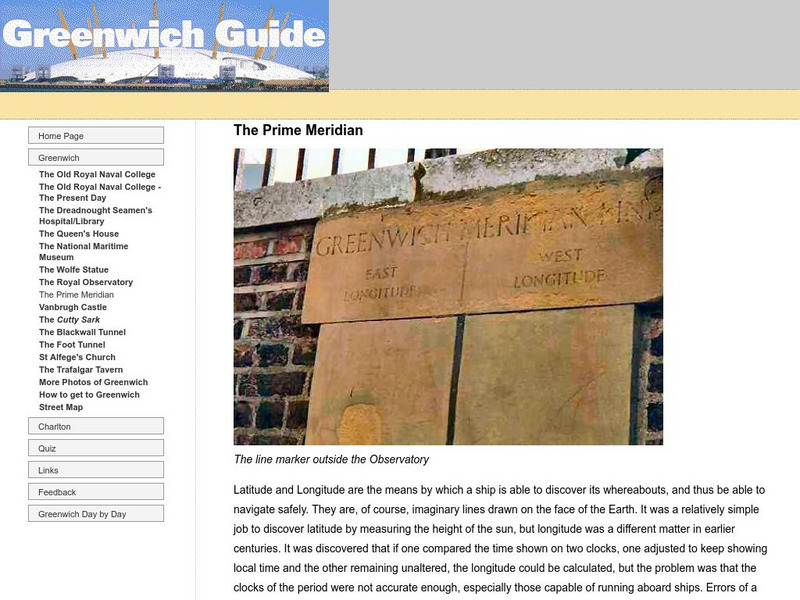
Greenwich Guide: The Prime Meridian
Examine how the prime meridian came to be, where it is located, and see actual pictures of the prime meridian.
Mocomi & Anibrain Digital Technologies
Mocomi: Prime Meridian Facts and Information
Discover fun facts about the International Date Line while learning about the Prime Meridian and Greenwich Meridian Time.
Wikimedia
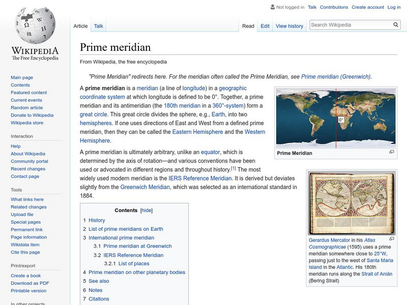
Wikipedia: Prime Meridian
This site from the Encyclopedia Wikipedia provides an encyclopedia article on the prime meridian discusses the important principles were established at the International Meridian Conference in 1884.
Georgia Department of Education
Ga Virtual Learning: Astronomy: The Earth
In this interactive tutorial students will learn what causes the seasons, diurnal cycles and how the constellations move through the sky. Learn we are able to see other planets and how astronomical events affected life on the Earth.
Oxfam
What Is the Meridian Line?
What is the meridian line? Find out and see all the countries it runs throughout. Obtain information on the creation of standard time.
Other
The Royal Observatory at Greenwich: Homepage
This site from The Royal Observatory at Greenwich is a very historically important astronomical observatory. The site has a combination of information about astronomy, longitude and time. Information written in highly accessible...
PBS
Pbs Nova Online: Lost at Sea the Search for Longitude
"The quest for a reliable method to find your way at sea was one of the thorniest problems of the 1700s." Find out about the search for longitude at this NOVA site. Includes interactive Shockwave game, learning activities and more.
ClassFlow
Class Flow: Major Topographical Features of the u.s.
[Free Registration/Login Required] In this flipchart students will locate major topographical features of the United States of America. Website links covering Identify rivers, mountain ranges, the equator, prime meridian, and lines of...


