Hi, what do you want to do?
ClassFlow
Class Flow: Global Knowledge Where in the World Am I?
[Free Registration/Login Required] This flipchart explains the division of the hemispheres, northern and southern, and eastern and western. The Equator and Prime Meridian are defined, as well as latitude and longitude. Students are given...
Curated OER
The Clock
Examine how the prime meridian came to be, where it is located, and see actual pictures of the prime meridian.
Curated OER
The Line Marker Outside the Observatory
Examine how the prime meridian came to be, where it is located, and see actual pictures of the prime meridian.
Curated OER
The Line Marker in the Observatory Courtyard
Examine how the prime meridian came to be, where it is located, and see actual pictures of the prime meridian.
Oxfam
Ofxam: Welcome to Spain (Guidebook and Virtual Tour)
Developed in 2000-2001 to explore and celebrate the lives of people living in eight countries that lie along the prime meridian, this "welcome to Spain" guidebook and tour includes sections on Spain's history, geography, environment,...
Other
Boat Safe Kids
This is a delightful site about boats and boating. Lots of games plus a terrific overview of the history of navigation. Includes a visit to a reproduction of Columbus' Nina.
Wikimedia
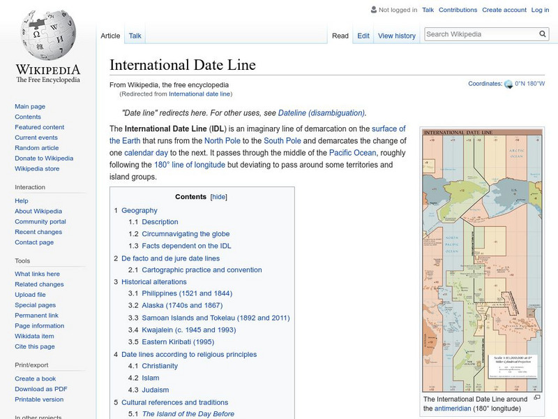
Wikipedia: International Date Line
Wikipedia offers information on the International Date Line, an imaginery line that offsets the hours added as one travels east through time zones.
Diffen
Diffen: Latitude vs. Longitude
Find out about the basics of latitude and longitude with this comparison chart. Then read the article and watch the video to dig a little deeper into the topic.
Curated OER
Etc: Maps Etc: Plan of the City of Washington, March 1792
A plan of the city of Washington from 1790. The lat/long figures on the map shows a longitude of 0 degrees 0 based on the Washington Prime Meridian passing through the Capitol. "This city was laid out by Peter Charles L'Enfant, who...
New York Times
New York Times: Crossword Puzzle: Latitude & Longitude
Here is an interactive & printable crossword puzzle developed by the New York Times Learning Network. The theme of this puzzle is Latitude & Longitude.
Other
Boat Safe Kids: Longitude and Latitude
This website starts at the very beginning and explains how round globes are transferred to flat maps. Then they explain the use of longitude and latitude.
Wolfram Research
Wolfram Science World: International Date Line
This website provides a good general definition of the International Date Line.
Curated OER
Etc: Maps Etc: Physical and Political Map of Africa, 1879
Map of pre-colonial Africa, showing the predominately native countries and territories of the African continent in 1879. The counties include the Barbary States of Morocco, Algeria, Tunis, Tripoli and Fezzan, the Egyptian territories of...
Curated OER
Educational Technology Clearinghouse: Maps Etc: Maine, 1872
A map from 1872 of Maine showing the State capital of Augusta, counties and county seats, major cities, towns and ports, railroads, mountains, lakes, rivers, and coastal features. An inset map details the vicinity of Portland. Clock...


