Hi, what do you want to do?
Texas A&M University
Sons of De Witt Colony: General Lawrence De Zavala
A detailed "sketch" of De Zavala. Includes a picture of his portrait and information about his role in the new Republic of Texas.
Independence Hall Association
U.s. History: The Lone Star Republic
Why did Mexico encourage settlement of Americans in Texas? Why did the Americans chafe under Mexican rule? Find out how this led to the Texas Revolution and the declaration of Texas as an independent country.
Texas State Historical Association
Texas State Historical Association: Lorenzo De Zavala
A biography of Lorenzo de Zavala, who served under President Santa Anna of Mexico, and then became a supporter of the Texas independence movement. He helped to draft the Republic of Texas Constitution.
Texas State Library and Archives Commission
Texas State Library and Archives Commission: The Texas Navy: Epilogue
What happened to the Texas Navy when the revolution was over and Texas was annexed by the U.S. in 1846? Check out primary texts from this time in Texas' history to research this topic: "First four pages of Edwin Moore's claims for...
Texas State Library and Archives Commission
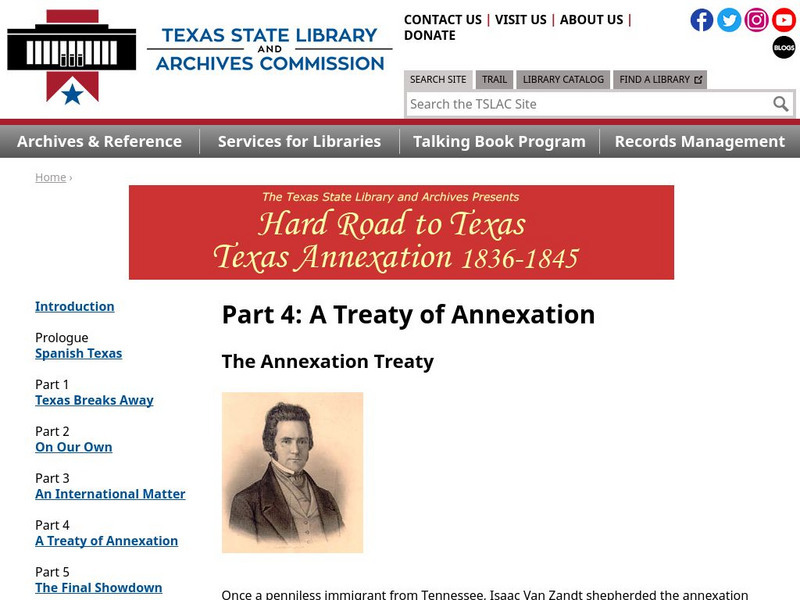
Texas State Library and Archives Commission: Hard Road to Texas 1836 1845: The Annexation Treaty
Isaac Van Zandt championed for U.S. annexation, despite the possibility of war and political uproar. Read about the annexation treaty in its infancy, the people involved, and the signing of the treaty in 1844.
Library of Congress
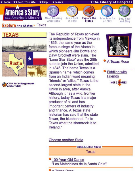
Loc: America's Story: Texas
Did you know that Texas is the second largest state? Do you know what the "Juneteenth celebration is?" View more fun facts from the America's Story website.
Texas A&M University
Sons of De Witt: The Cordova Rebellion
Biographical information about Vicente Cordova, a Mexican who led a rebellion against the Texans in 1838. Here you can read a diary and other firsthand narrative accounts of this rebellion.
University of Texas at Austin
University of Texas: Central African Republic Maps
Click on these maps of Central African Republic to see a political map, relief map, and a small, clear map. Find the major cities, highways, and neigboring countries. From the Perry Castaneda Collection. Includes PDFs (require Adobe...
Curated OER
University of Texas: Georgia: Political Map
A political map of Georgia showing the major cities, highways, rail lines, and autonomous republics. From the Perry-Castaneda collection.
University of Texas at Austin
University of Texas Libraries: Russia and the Former Soviet Republics Maps
Collection of maps (political, geographic, thematic, topographic, etc.) related to Russia and the former Soviet Union.
Curated OER
University of Texas: Mozambique: Relief Map
A relief map of Mozambique in southern Africa showing the highlands in the north and plains in the south. Clicking on the map will enlarge it. From the Perry-Castaneda collection.
Texas State Library and Archives Commission
Texas State Library and Archives Commission: African Americans at San Jacinto
This website from Texas State Library contains a petition for pensions for African-Americans who served in the Battle of San Jacinto. Clicking on the document will enlarge it and will take you to a transcription of the document.
Texas State Library and Archives Commission
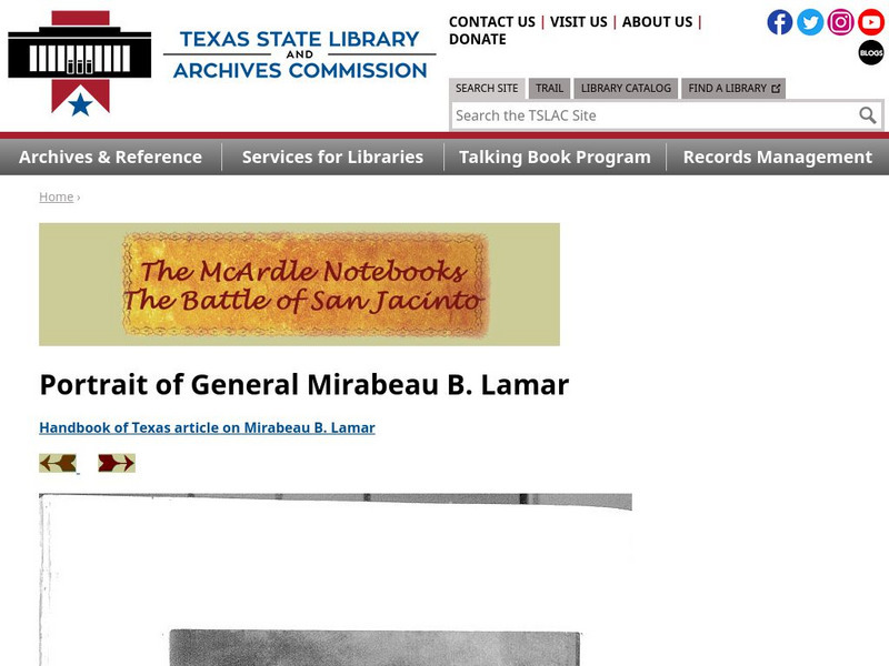
Texas State Library and Archives Commission: Battle of San Jacinto: Portrait of General Mirabeau B. Lamar
Here is a portrait of Mirabeau Lamar, part of artist Henry McArdle's collection of research for his painting, "The Battle of San Jacinto." Includes a link to an article on Lamar, from the "Handbook of Texas."
Texas State Library and Archives Commission
Texas State Library and Archives Commission: Battle of San Jacinto: Mrs. Lola Lamar Calder to Mc Ardle, April 20, 1892
Lola Lamar Calder, the daughter of Mirabeau Lamar, provides artist Henry McArdle with details about her father, part of McArdle's research for his painting, "The Battle of San Jacinto." Includes images of the original handwritten letter,...
Texas State Library and Archives Commission
Texas State Library and Archives Commission: Battle of San Jacinto: Mrs. Henrietta Lamar to Mc Ardle, May, 1891
Mirabeau Larmar's widow writes a letter replying to artist Henry McArdle, the painter of "The Battle of San Jacinto." Part of McArdle's extensive research for the painting. This site includes images of the handwritten letter, typed...
Other
Texas Online: Texas
Facts about the state of Texas, its history, government, state symbols, and its capitals and capitol buildings.
University of Oregon
University of Oregon: Mapping History: Texas: 1836
This is a very simple map showing the Republic of Texas and the territory disputed with Mexico in 1836.
Texas State Library and Archives Commission
Texas State Library and Archives Commission: Texas Treasures: Thomas Rusk
Thomas Rusk's Oath of Citizenship, Report from San Jacinto, and Letter on the 1850 Boundary Compromise are found here. You will see a picture of the original document, and a typed translation.
Stanford University
Sheg: Document Based History: Reading Like a Historian: Texas Independence
[Free Registration/Login Required] Learners read primary source documents to solve a problem surrounding a historical question. This document-based inquiry lesson plan allows students to read parts of the Texas Declaration of...
Texas State Library and Archives Commission
Texas State Library and Archives Commission: Lorenzo De Zavala
Read this short biography of Lorenzo de Zavala, complete with links to primary documents involving the 19th-century Mexican politician.
Texas State Library and Archives Commission
Texas State Library and Archives Commission: Texas Treasures: Texas Declaration of Independence
What was the purpose of the Texas Declaration of Independence? Who authored the Declaration? This brief article answers these questions and provides links to the original handwritten Declaration as well as printed broadside.
Texas State Library and Archives Commission
Texas State Library and Archives Commission: Hard Road to Texas 1836 1845: Santa Anna Strikes Back
Texas was "teetering on the edge of total disintegration" when Sam Houston returned to the presidency. The population was down, money was down, and Texas was defenseless against "a resurgent Mexico." Read more about this period in Texas'...
Texas State Library and Archives Commission
Texas State Library and Archives Commission: Hard Road to Texas 1836 1845: Texas Breaks Away Alone in the Wilderness
Read about the effects of the Texas Revolution. How did Americans react? How did the annexation process begin, and what roadblocks were there? Find the answers to these questions, and check out a map of Texas from 1836 and other primary...
Texas State Library and Archives Commission
Texas State Library and Archives Commission: The Texas Navy: After San Jacinto
What role did the Texas Navy play in the aftermath of San Jacinto? This site provides the answer while offering a look into this time in Texas' history and the Texas fleet through primary texts: "Commodore Henry Thompson details his...


