Hi, what do you want to do?
Curated OER
University of Texas: Afghanistan: Topography
A 1986 topographical map of Afghanistan from the Perry-Castaneda Collection. You can clearly see the mountain ranges, valleys, and passes that make up this mountainous country.
ClassFlow
Class Flow: Major Topographical Features of the u.s.
[Free Registration/Login Required] In this flipchart students will locate major topographical features of the United States of America. Website links covering Identify rivers, mountain ranges, the equator, prime meridian, and lines of...
Science Education Resource Center at Carleton College
Serc: Sandbox Modeling
Young scholars create landforms using layers of colored sand, then construct a topographic map and a cross-section. This is an investigation that was presented to pre-service science teachers. The format would be similar with students,...
National Association of Geoscience Teachers
Nagt: Crate Lake Map Assignment
This exercise gives students a chance to compare a topographic map with a 3D map, and then use the maps to answer questions. The questions highlight student gains using 3D to interpret surface features.
TeachEngineering
Teach Engineering: Topos, Compasses, and Triangles, Oh My!
In this activity, students will learn how to actually triangulate using a compass, topographical (topo) map and view of outside landmarks. It is best if a field trip to another location away from school is selected. The location should...
CK-12 Foundation
Ck 12: Earth Science: Maps
[Free Registration/Login may be required to access all resource tools.] How to use topographic, bathymetric, and geologic maps.
Other
Topo Zone: Free Usgs Topo Maps for the Entire United States
A huge collection of topographic maps for each of the US states. Scroll down to see a map of the United States and click on the state you are interested in. From there, you can search for a particular location, choose a featured map, or...
Alabama Learning Exchange
Alex: Topography of Fruit
This is an attempt to help students understand contour lines in map-making through the vector of digital photography. This hands-on activity will create an art piece out of fruit that will be analyzed to create topographic maps.
Science Education Resource Center at Carleton College
Serc: Uncovering Plate Tectonics
In this investigation, students will be given an opportunity to make the connection between plate boundary movement and the topographic features of the earth.
Science Education Resource Center at Carleton College
Serc: Visualizing Topography
This module helps students learn to identify terrain features on topographic maps. Students manipulate animations of hills, valleys, and cliffs to see the terrain from various angles. The module also provides instruction on how to read...
Science Education Resource Center at Carleton College
Serc: Fairly Simple Geology Exercises
A collection of geology exercises which include relevant background information, complete instructions, student handouts, and answer keys. Topics include rock and mineral identification, Bowen's reaction series, crystal models,...
Purdue University
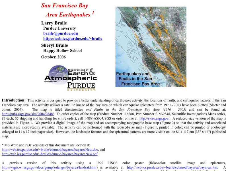
Purdue University: San Francisco Bay Area Earthquakes
Students use geologic fault maps of the San Francisco Bay Area to find relationships between tectonic plate fault lines and landscape features, topographic features, and epicenters of past earthquakes.
Harvard University
Harvard University: Maps and Mapping
This site is provided for by Harvard University. Students follow a map on a scavenger hunt, create a map of their classroom and their town, learn how to read topographic maps, and discover latitude and longitude in these inquiry activities.
Climate Literacy
Clean: Sea Level Rise
Students will learn the difference between sea ice and glaciers in relation to sea level rise using topographic maps.
US Geological Survey
Lake Pontchartrain Basin Foundation: Watershed
Explore the characteristics of a watershed through these multiple intelligences learning activities. Activities will help students define a watershed as well as read the features on a topographic map. Site also includes background...
National Association of Geoscience Teachers
Serc: Mapping Potato Island
For this hands-on activity, students make a topographic map to describe the shape of a potato. They will gain an understanding of how contour lines are used to describe the shape of the land surface.
Science Education Resource Center at Carleton College
Serc: Fire and Ice: Volcanic and Glacial Features on Land and Seafloor
Students learn about glacial and volcanic features by examining and comparing bathymetric and topographic images of the Sand Point area of Alaska.
CK-12 Foundation
Ck 12: Earth Science: Map Projections
[Free Registration/Login may be required to access all resource tools.] How to use topographic, bathymetric, and geologic maps.
Alabama Learning Exchange
Alex: Let Them Eat Cake! Topography Lesson
Contour lines on topographic maps require visual processing to read and interpret. This hands-on activity helps give a tasty mental image.
National Earth Science Teachers Association
Windows to the Universe: Changing Planet: Sea Levels Rising
Students review topographic maps and use that knowledge to explore the impact sea level rise will have on coastal communities.
Climate Literacy
Clean: Impacts of Topography on Sea Level Change
Students use web-based animations to explore the impacts of ice melt, specifically changes to sea level. They also use topographic maps to examine the relationship between topography and sea level change by mapping changing shorelines.
TeachEngineering
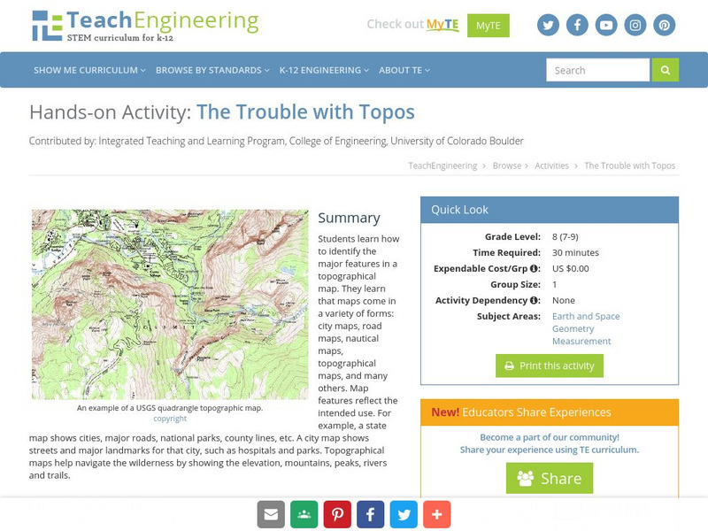
Teach Engineering: The Trouble With Topos
Students learn how to identify the major features in a topographical map. They learn that maps come in a variety of forms: city maps, road maps, nautical maps, topographical maps, and many others. Map features reflect the intended use....
Math Graphs
Houghton Mifflin: Math Graphs: Direction and Vectors 2 [Pdf]
Students use a topographic map to sketch the paths of steepest descent. The resource consists of an enlarged printable version of a topographic map available in PDF format.
Science Education Resource Center at Carleton College
Serc: Mn Step: Student Created Landform Maps With Glacial Emphasis
An activity where pupils work together to make topographic maps of a local park. The map must include a key and the grid locations of landforms in the park.
Other popular searches
- Topographic Maps
- Reading Topographic Maps
- Topographic Map Reading
- Topographic Maps Profile
- Topographic Map Symbols
- Topographical Maps
- Science Topographic Maps
- Making Topographic Maps
- Geography, Topographic Maps
- Topographic Maps Labs
- Topographic Maps Computer
- Topographic Maps Isolines


