Hi, what do you want to do?
Other
Geotimes: Earth Scientists & National Security
This site has the experiences of real earth scientists. Investigate the experiences of a seismologist, topographic engineer, naval academy professor, oceanography major, meteorologist, and structural geologist.
Math Graphs
Houghton Mifflin: Math Graphs: Orthogonal Trajectories 3 [Pdf]
The handout investigates orthogonal trajectories on a topographic map carried by a group of hikers. The map is available in PDF format.
Ducksters
Ducksters: Earth Science for Kids: Topography
Kids learn about the Earth science subject of topography including features such as landforms, elevation, latitude, longitude, and topographical maps.
Massachusetts Historical Society
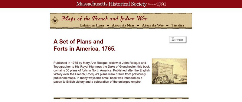
Massachusetts Historical Society: A Set of Plans and Forts in America, 1765
A digitized version of a book published in 1765 by Mary Ann Rocque, widow of John Rocque, topographer to the Duke of Glouchester. Contains images of the thirty plans of forts in North America. Published after the English victory over the...
Other
Photo.net: Costa Rica: The Land
A geographic and topographical exploration of Costa Rica which covers all of the regions of the country.
US Geological Survey
Usgs: Monterey Submarine Canyon, California Moored Array Data Report [Pdf]
This advanced site discusses some of the research done and research techniques used in studies of the Monterey Canyon. Great graphics showing the position of the canyon relative to other features of the continental margin. Also...
Library of Congress
Loc: Cultural Landscapes
This collection includes unique maps, such as topographic maps and those used in land surveys. Includes maps created by George Washington.
Library of Congress
Loc: Hotchkiss Civil War Era Maps
A collection of 341 Civil War Era Maps by Jedediah Hotchkiss, a topographic engineer in the Confederate Army. Most of the maps are of places in Virginia.
University of Texas at Austin
Ut Library: Perry Castaneda Maps of Alabama
Here you will find state and city maps (including outline and topographical maps) of Alabama. Also includes historical maps and maps of Alabama's National Parks.
Annenberg Foundation
Annenberg Learner: Shape and Space in Geometry: I Took a Trip on a Train
Think through what you would view as you ride around this park on a train. You are given a topographical view of a park and asked to put the pictures in order of what you would see as you ride around the park.
Concord Consortium
Concord Consortium: Exploring Earth's Seismicity
This sequence is an introduction to plate tectonics using evidence from topographical maps, earthquake location and depth, and volcano location using the Seismic Explorer model to investigate patterns of earthquake data and to infer the...
PBS
Pbs Learning Media: Visualizing Topography
Explore the topography of a hill, a valley, and a cliff in this interactive activity featuring visualizations of three-dimensional topography in two dimensions. Adapted from Stephen Reynolds' "Visualizing Topography."
American Geosciences Institute
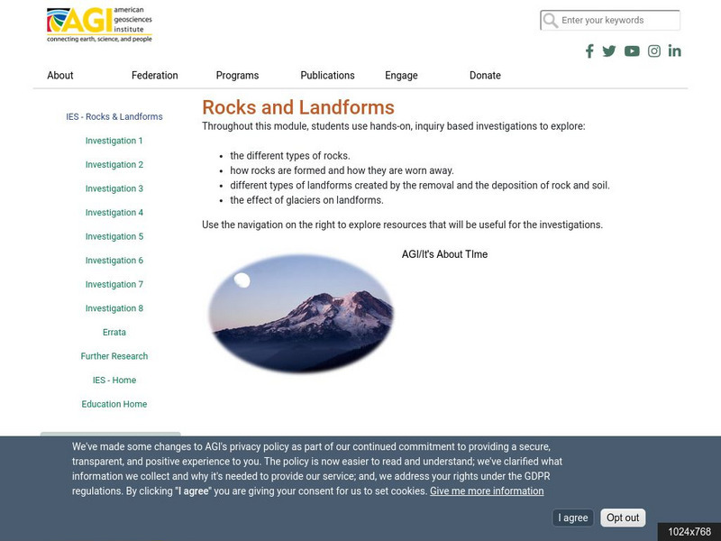
American Geosciences Institute: Rocks and Landforms
Eight hands-on lessons module where students learn about rocks and landforms. These inquiry-based investigations explore the different types of rocks, how they are formed, the different types of landforms, and the effects of glaciers on...
Other
National Atlas of the United States
The National Atlas of the United States provides comprehensive information collected by the Federal Government and delivered through interactive maps. Select from a variety of scientific, societal, and historical information to be...
University of Texas at Austin
University of Texas: Perry Castaneda Library: Canada Maps
The University of Texas at Austin provides an extensive collection of maps relating to Canada. Links are given for maps of Canada on many other web sites.
National Geographic
National Geographic: Mapping the World's Watersheds
In this lesson, students use a world map to locate and label major rivers and their watersheds. They then compare watershed shapes and look at typographical features that determine their shapes. A vocabulary list with definitions is...
Library of Congress
Loc: Mapping the National Parks
A rich and historically significant collection of maps of various national parks throughout the United States. Features special sections on Yellowstone, Acadia, the Grand Canyon and the Smoky Mountains. Includes historical photographs of...
NASA
Nasa Space Science Data Archive: Photo Gallery: Venus
Photos of Venus' surface and cloud tops. Includes 3-D surface views. Thumbnail images load quickly and link to larger files for more detail.
US Geological Survey
U.s. Geological Survey
The U.S. Geological Survey reports on the latest news affecting the earth today, as well as providing a wealth of data, reports, and information.
Other
Ordnance Survey: Map Zone: Relief and Contour Lines
Discover how to read and show height on maps using relief and contour lines.
Library of Congress
Loc: Map Collections 1500 2002
This collection provides maps dating back to 1500 up to the present. The collection includes: cities, towns, discovery and exploration, conservation and environment, military battles, cultural landscapes, transportation, communication,...
Geographyiq
Geography Iq
Detailed geographical information on any country is available at this site. Within the World Map section, you can get facts and figures about each country's geography, demographics, government, political system, flags, historical and...
Science Education Resource Center at Carleton College
Serc: An Investigation Into Geologic Mapping: Quarry Park
In this geology field lab, young scholars will map an area around Quarry 12 and Quarry 13 in Quarry Park. Using a field notebook, students will take field observations to later produce a basic geologic map, topographic map, and a...
Science Education Resource Center at Carleton College
Serc: A Data Rich Exercise for Discovering Plate Boundary Processes
This article in the Journal of Geoscience Education describes a classroom exercise based on four world maps containing earthquake, volcano, topographical and seafloor age data. Students participate in this exercise by using a "jigsaw"...
Other popular searches
- Topographic Maps
- Reading Topographic Maps
- Topographic Map Reading
- Topographic Maps Profile
- Topographic Map Symbols
- Topographical Maps
- Science Topographic Maps
- Making Topographic Maps
- Geography, Topographic Maps
- Topographic Maps Labs
- Topographic Maps Computer
- Topographic Maps Isolines


![Houghton Mifflin: Math Graphs: Orthogonal Trajectories 3 [Pdf] Unknown Type Houghton Mifflin: Math Graphs: Orthogonal Trajectories 3 [Pdf] Unknown Type](https://static.lp.lexp.cloud/images/attachment_defaults/resource/large/FPO-knovation.png)


