Other
Geoscience Australia: Map Reading Guide: How to Use Topographic Maps [Pdf]
A topographic map can be challenging to read. This guide explains how to decipher one and how to use a magnetic compass to orient yourself to the landscape. It also explains how to use GPS coordinates.
US Geological Survey
U.s. Geological Survey: The National Map: 125 Years of Topographic Mapping
Website offers a history of the National Program for Topographic Mapping (1884-2009).
Other
Ontario Topographic Map
Features a topographical map of Ontario. Click on different options to edit the map.
US Geological Survey
United States Geological Survey: Topographic Maps
"Note: The information on this page is being retained for technical and historical reference only. The site is not under active maintenance and may include expired information and outdated links." This site gives an overview of the...
Other
California State University: Topographic Map Symbols
Click on any of the geographical terms on this website to see examples that illustrate the symbols commonly used on maps. Includes boundaries, building symbols, caves, mines, elevation symbols, coastal features, and more.
Texas Instruments
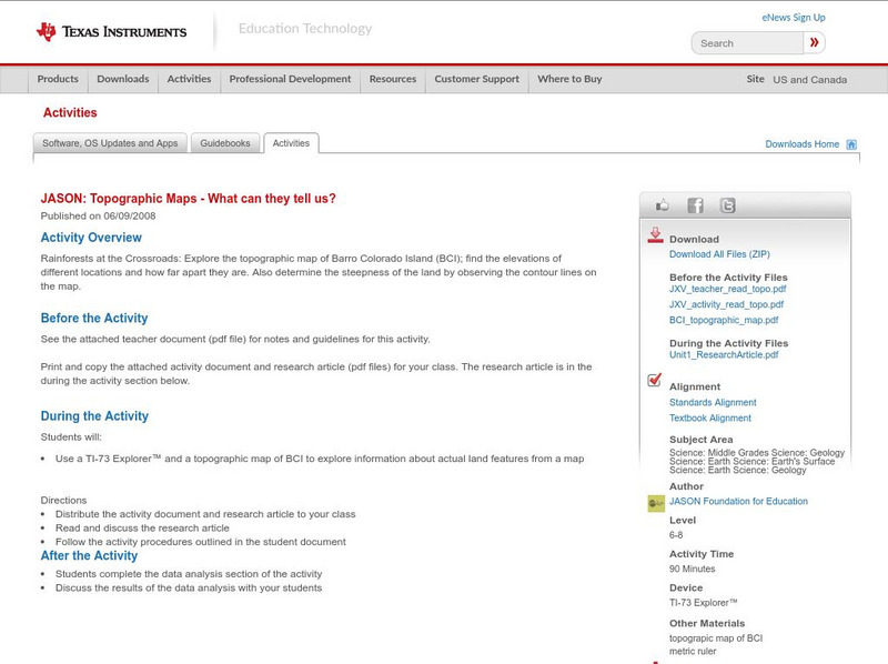
Texas Instruments: Jason: Topographic Maps What Can They Tell Us?
Rainforests at the Crossroads: Explore the topographic map of Barro Colorado Island (BCI); find the elevations of different locations and how far apart they are. Also determine the steepness of the land by observing the contour lines on...
Texas Instruments
Texas Instruments: Jason: Make a Topographic Map
Rainforests at the Crossroads: Make a topographic map of a simulated terrain, which consists of your classroom floor and two boxes of different sizes.
University of Texas at Austin
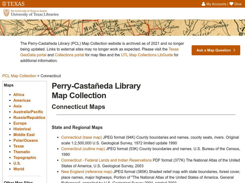
Ut Library: Perry Castaneda Maps of Connecticut
Includes two maps of the state as well as several topographic maps of cities in Connecticut and one historic map of New Haven in 1920.
Math Science Nucleus
Math Science Nucleus: Topographic Maps
For a picture of a topographical map, go to this page. There is some information to help you understand what they are.
Science Education Resource Center at Carleton College
Serc: Geo Map App Learning Activities: Rules of Contouring
Using GeoMap software, students learn how to read topographic maps, and the rules for using contour lines on a map. Detailed teacher and student handouts are provided. (GeoMap software can be downloaded at: http://www.geomapapp.org/.)
University of Texas at Austin
University of Texas: Perry Castaneda Library: Canada Maps
The University of Texas at Austin provides an extensive collection of maps relating to Canada. Links are given for maps of Canada on many other web sites.
Science Education Resource Center at Carleton College
Serc: Topographical Maps, Contour Lines and Profiles
In this mapping field lab young scholars determine the elevation of a given object in a designated area on the school campus using cartography tools. Then they use of these tools to create a contour map of the area.
University of Texas at Austin
Ut Library: Perry Castaneda Maps of Alabama
Here you will find state and city maps (including outline and topographical maps) of Alabama. Also includes historical maps and maps of Alabama's National Parks.
University of Texas at Austin
University of Texas Libraries: Russia and the Former Soviet Republics Maps
Collection of maps (political, geographic, thematic, topographic, etc.) related to Russia and the former Soviet Union.
Library of Congress
Loc: Map Collections 1500 2002
This collection provides maps dating back to 1500 up to the present. The collection includes: cities, towns, discovery and exploration, conservation and environment, military battles, cultural landscapes, transportation, communication,...
Other
Ordnance Survey: Map Zone: Relief and Contour Lines
Discover how to read and show height on maps using relief and contour lines.
National Association of Geoscience Teachers
Nagt: Crate Lake Map Assignment
This exercise gives students a chance to compare a topographic map with a 3D map, and then use the maps to answer questions. The questions highlight student gains using 3D to interpret surface features.
CK-12 Foundation
Ck 12: Earth Science: Map Projections
[Free Registration/Login may be required to access all resource tools.] How to use topographic, bathymetric, and geologic maps.
National Association of Geoscience Teachers
Serc: Mapping Potato Island
In this hands-on activity, young scholars make a topographic map to describe the shape of a potato. They will gain an understanding of how contour lines are used to describe the shape of the land surface.
Curated OER
University of Texas: Afghanistan: Topography
A 1986 topographical map of Afghanistan from the Perry-Castaneda Collection. You can clearly see the mountain ranges, valleys, and passes that make up this mountainous country.
Enchanted Learning
Enchanted Learning: Topographic Map Activity
An activity to practice interpreting contours.
CK-12 Foundation
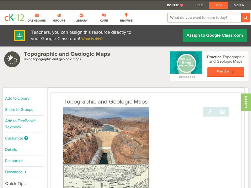
Ck 12: Earth Science: Topographic and Geologic Maps
[Free Registration/Login may be required to access all resource tools.] How to use topographic and geologic maps.
CK-12 Foundation
Ck 12: Earth Science: Maps
[Free Registration/Login may be required to access all resource tools.] How to use topographic, bathymetric, and geologic maps.
Other popular searches
- Contours Topographical Maps
- Reading Topographical Maps
- Topographical Map of Mexico
- Topographical Maps Distance
- Science Topographical Maps
- Topographical Map Reading
- Topographical Map of Greece
- Reading a Topographical Map
- Topographical Map of Nevada
- Utah Topographical Maps
- Topographical Map of States
- Topographical Map Using Food
![Geoscience Australia: Map Reading Guide: How to Use Topographic Maps [Pdf] Handout Geoscience Australia: Map Reading Guide: How to Use Topographic Maps [Pdf] Handout](https://d15y2dacu3jp90.cloudfront.net/images/attachment_defaults/resource/large/FPO-knovation.png)


