Other
Ordnance Survey: Map Zone: Relief and Contour Lines
Discover how to read and show height on maps using relief and contour lines.
Science Education Resource Center at Carleton College
Serc: Map and Compass Lab
Science Scope article presents an activity on topography and land masses that helps students learn about scientific inquiry. Students also practice making and interpreting scale drawings and learning about computation, estimation and new...
USA Today
How Topography Affects Weather
This fantastic multimedia site contains information about the causes of extreme and dangerous weather. The site explains how the earth's surface affects the weather and supplies incredible video clips to illustrate the concepts...
Science Education Resource Center at Carleton College
Serc: Investigate Topography Caused by Glacial Lake Agassiz & Glacial Riv Warren
In this field investigation learners will travel to Bonanza Educational center located on Big Stone Lake. The students will hike up the prairie where they will sit and sketch the topography of the land. The learners will then travel down...
Science Education Resource Center at Carleton College
Serc: Investigating Karst Topography and Connection to Se Minnesota Sinkholes
In this field investigation, students will be able to observe, record, compare/contrast a variety of sinkholes located in the southeastern Minnesota area, including a significant one at the Harmony Karst Interpretive Site. The students...
Climate Literacy
Clean: Impacts of Topography on Sea Level Change
Students use web-based animations to explore the impacts of ice melt, specifically changes to sea level. They also use topographic maps to examine the relationship between topography and sea level change by mapping changing shorelines.
Japanese Ministry of Foreign Affairs
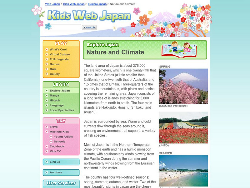
Web Japan: Nature and Climate
Would you like to find out how Japan's climate compares to where you live? Read about the climate, topography, and natural disasters. There are many pictures and a quiz at the end.
CK-12 Foundation
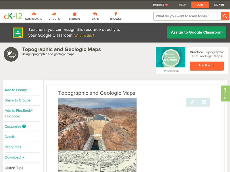
Ck 12: Earth Science: Topographic and Geologic Maps
[Free Registration/Login may be required to access all resource tools.] How to use topographic and geologic maps.
Science Education Resource Center at Carleton College
Serc: Visualizing Topography
This module helps students learn to identify terrain features on topographic maps. Students manipulate animations of hills, valleys, and cliffs to see the terrain from various angles. The module also provides instruction on how to read...
Science Education Resource Center at Carleton College
Serc: Investigating How Terrain and Watersheds Are Connected
In this lab, middle schoolers will investigate the topography of a watershed and determine how it may affect physical stream parameters focusing on how terrain and water systems are connected.
NASA
Nasa: Dynamic Ocean Topography With Current Arrows
Color-coded image of ocean currents depicts directional flow and speed of the currents across the globe.
Science Education Resource Center at Carleton College
Serc: Landscape Regions
A lab activity where students study the" relationships between landscape appearance, topography and underlying geology". In this particular activity students explore the landscape region of New York State to see the effects of...
Science Education Resource Center at Carleton College
Serc: Exploring Seafloor Topography
Users learn to generate and interpret graphs that show seafloor depth versus distance by using the GeoMapApp.
Science Education Resource Center at Carleton College
Serc: Examining Topography Stream Discharge Sherburne National Wildlife Refuge
Students problem solve stream discharge by estimating, measuring, and collecting data. Students graph actual contour lines, and use these measurements to hypothesize stream discharge and sediment load from a restored wetland using a dry...
Science Education Resource Center at Carleton College
Serc: Fathoms, Ship Logs, and the Atlantic Ocean
Students use data from ship logs to graph a profile of the Atlantic Ocean. They will rely on prior knowledge of seafloor topography, instructions on how to read a bathymetric map, and observe a demonstration where the depth of the ocean...
Science Education Resource Center at Carleton College
Serc: Topographical Maps, Contour Lines and Profiles
In this mapping field lab learners determine the elevation of a given object in a designated area on the school campus using cartography tools. Then they use of these tools to create a contour map of the area.
Curated OER
National Park Service: Mammoth Cave: Biology and Cave Life
This resource describes the biology and cave life of Mammoth Cave. Among the topics discussed are the animal and plant life associated with the area. Requires Adobe Reader. [PDF]
Science Education Resource Center at Carleton College
Serc: California Climate and the Atmosphere
In this 3-part activity, students explore California climate and factors that are leading to changes within this climate system. Students begin by exploring California's climate and the state's topography. Next, they investigate coastal...
Library of Congress
Loc: Conservation and Environment
Understand the historic and recent use of land in various areas in the United States based on the maps on this site. "These maps show the changes in the landscape, including natural and man-made features, recreational and wilderness...
Other
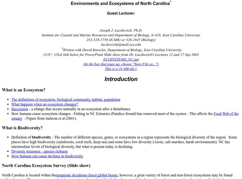
Environments and Ecosystems of North Carolina
North Carolina is located within the temperate deciduous forest global biome, however, a great variety of forest and non-forest ecosystems may be found within the state. The temperature and moisture regimes throughout North Carolina are...
Curated OER
University of Texas: Afghanistan: Topography
A 1986 topographical map of Afghanistan from the Perry-Castaneda Collection. You can clearly see the mountain ranges, valleys, and passes that make up this mountainous country.
Natural History Museum
Natural History Museum: The Art of the First Fleet
A fascinating look at art showing the environment and wildlife that was done by artists who were in the First Fleet, the first group of settlers to come to Australia in 1787. The artworks have been arranged under four categories: Natural...
Natural History Museum
Natural History Museum (London): The Art of the First Fleet
A fascinating look at art showing the environment and wildlife that was done by artists who were in the First Fleet, the first group of settlers to come to Australia in 1787. The artworks have been arranged under four categories: Natural...
Northwestern University
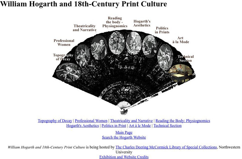
Northwestern University Library: Hogarth and Eighteenth Century Print Culture
Browse this large collection of Hogarth's prints to find examples of all of his favorite subjects, including eighteenth-century views of London.


