Hi, what do you want to do?
Curated OER
Unesco: Cuba: Desembarco Del Granma National Park
Desembarco del Granma National Park, with its uplifted marine terraces and associated ongoing development of karst topography and features, represents a globally significant example of geomorphologic and physiographic features and...
Curated OER
Unesco: Suriname: Central Suriname Nature Reserve
The Central Suriname Nature Reserve comprises 1.6 million ha of primary tropical forest of west-central Suriname. It protects the upper watershed of the Coppename River and the headwaters of the Lucie, Oost, Zuid, Saramaccz, and Gran Rio...
Curated OER
Educational Technology Clearinghouse: Maps Etc: Roman Britain, 55 Bc to Ad 449
A map of England (Britannia) under the Roman Empire, from the time of the first invasion by Julius Caesar (55 BC) extending to the invasion of the Saxons (AD 449). The Roman Period of control of Britannia is generally considered AD 43 to...
World Facts US
World Facts: Geography of Venezuela
Features detailed information about the topography, climate, and hydrography of Venezuela. Click on the link to take a look at the map.
Other
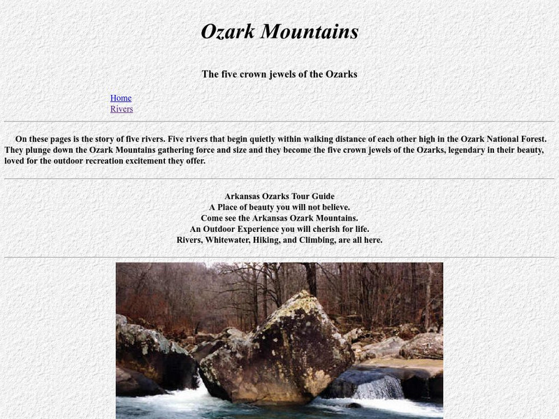
Ozark Mountains
Visit this extensive site detailing all aspects of the Ozark Mountains, from wildlife to topography to visitor information. Discover the diverse landscape of the Ozarks and the many activities available there.
Travel Document Systems
Tds: Oman: Geography
From the CIA World Fact Book comes this listing of the geographical topics concerning Oman. You can find out about the topography, climate, size, and land use.
Travel Document Systems
Tds: Uae: Geography
Here is a quick look at the facts about UAE's geography including climate, topography, natural resources, and land use. From the CIA World Fact Book.
CK-12 Foundation
Ck 12: Plix: Bathymetric Evidence for Seafloor Spreading
[Free Registration/Login Required] A site where students can label the features of the ocean floor such as: mid-ocean ridge, rift, and more. Also on the site is a short quiz about the different topography of the ocean floor.
Other
Topo Zone: Free Usgs Topo Maps for the Entire United States
A huge collection of topographic maps for each of the US states. Scroll down to see a map of the United States and click on the state you are interested in. From there, you can search for a particular location, choose a featured map, or...
Johns Hopkins University
Johns Hopkins University: Alabama State Maps
Check out this site from the Johns Hopkins University Applied Physics Laboratory for several different types of maps for the state of Alabama. You can find everything from a county map to a shaded relief map. If you are looking for map...
US Department of Agriculture
Usda Forest Service: Caribbean National Forest
Learn about El Yunque, the tropical rain forest in the Luquillo Mountains of Puerto Rico. The article discusses the topography, geology, rainfall amounts, soil, and water quality of the forest.
Travel Document Systems
Tds: Liechtenstein: Geography
A listing of the different aspects of the physical environment of Liechtenstein including climate, topography, size, and neighbors. From the CIA World Fact Book.
University of Virginia
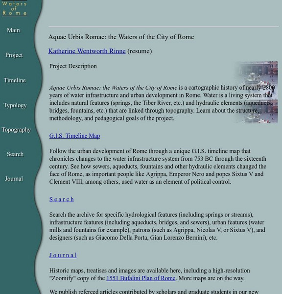
Aquae Urbis Romae: The Waters of the City of Rome
Aquae Urbis Romae: the Waters of the City of Rome is a cartographic history of nearly 2800 years of water infrastructure and urban development in Rome. Water is a living system that includes natural features (springs, the Tiber River,...
PBS
Pbs Teachers:the Gulf Coast Region: Effects of Katrina
Research and discuss the history, topography, economics and demographics of the Gulf Coast Region to explain how and why Hurricane Katrina caused such devastation. Predict the long-term effects of this storm on the geography of the region.
Curated OER
Educational Technology Clearinghouse: Maps Etc: Mesa De Maya, 1911
A contour map from 1911 of Mesa de Mays in Animas County, southern Colorado. The map shows the typical topography of a lava-capped mesa, with steep bordering scarps and a flattish summit.
Curated OER
Educational Technology Clearinghouse: Maps Etc: Boulder Plateaus, 1911
A contour map from 1911 of the topography of East and West Boulder plateaus and the northern end of the Absaroka Range in southwestern Montana.
Curated OER
Educational Technology Clearinghouse: Maps Etc: Crater Lake, Oregon, 1916
A contour map from 1916 of Crater Lake in Oregon, showing elevations in feet above sea level. Crater Lake lies within the caldera of an extinct volcano (Mount Mazama), and the map indicates its depth at 2000 feet, surface elevation at...
Curated OER
Educational Technology Clearinghouse: Maps Etc: Yosemite Valley, 1911
A contour map from 1911 of a typical portion of Yosemite Valley, showing cliffed margins, waterfalls, flat floor, and meandering stream.
Curated OER
Etc: Europe at the Time of the Reformation, 1517 1648
Map of Europe at the time of The Protestant Reformation movement from Martin Luther in 1517 to the Peace of Westphalia in 1648. Shows major cities of the time, major river ways, topography, political boundaries. This map illustrates the...
Curated OER
Educational Technology Clearinghouse: Maps Etc: Cabinet Mountains, 1911
A contour map from 1911 of the southern end of the Cabinet Mountains, Idaho, near Baldwin Ferry and Lake Pend Oreille.
Curated OER
Etc: Maps Etc: Drainage Lines of the Eastern Adirondacks, 1911
A contour map from the vicinity of Elizabethtown showing the rectangular pattern of relief and drainage lines in fault-block mountains of the eastern Adirondacks.
Curated OER
Etc: Trans Pecos Highlands, Texas, 1911
A contour map from 1911 of a fault-block mountain in the Trans-Pecos Highlands, Texas, showing typical relief and drainage patterns.
Curated OER
Educational Technology Clearinghouse: Maps Etc: Encampment District, 1911
A contour map showing the mature profiles, long gentle spurs, and rounded summits of the mountains of the Encampment district, south-central Wyoming.
Curated OER
Hiking in the Ozark Mountains. Hiking Buffalo River Ozarks Ozark Mountains
Visit this extensive site detailing all aspects of the Ozark Mountains, from wildlife to topography to visitor information. Discover the diverse landscape of the Ozarks and the many activities available there.


