Curated OER
Follow the Falling Meteorite
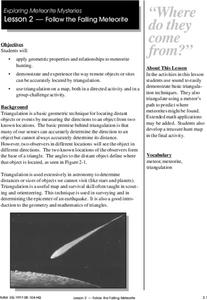
Students use triangulation method to locate meteorite landing site on the map. In this earth science lesson, students participate in a meteorite treasure hunt set up by the teacher. They explain how this method is used by scientists to...
Curated OER
How High Is That?
Students explore the National Spatial Reference System. In this vertical position lesson, students will discuss the use of vertical position data and solve practical problems involving geographic positioning.
Curated OER
Follow The Falling Meteorite
Students investigate the supposed traveling path of a meteorite. They use sound in order to triangulate the path. The results of the experiment are written on a map to display the path of the meteorite. The culminating activity is when...
Curated OER
Navigation
Learners explain that globes are the best way to show positions of places, but flat maps are portable and can show great detail. They make a mercator projection of the route Lewis and Clark took on their journey.


