Other
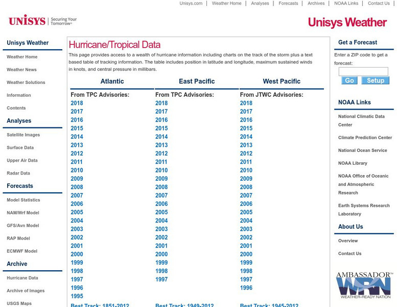
Unisys: Hurricanes/tropical Data
There is a table that has links to hurricanes in the Atlantic from 1995, East Pacific from 1997, West Pacific from 1996, South Pacific from 2000, and South India from 2000. This page has a satellite map and the Saffir-Simpson Scale.
Curated OER
Hurricane Diagram
A great resource offering the causes and effects of hurricanes, the reason why hurricanes are named the way they are, the difference between a hurricane and a tropical storm, hurricane "lingo," safety tips, and more. Follow links to...
Curated OER
Hurricane Formation
A great resource offering the causes and effects of hurricanes, the reason why hurricanes are named the way they are, the difference between a hurricane and a tropical storm, hurricane "lingo," safety tips, and more. Follow links to...
Curated OER
Hurricane Georges
A great resource offering the causes and effects of hurricanes, the reason why hurricanes are named the way they are, the difference between a hurricane and a tropical storm, hurricane "lingo," safety tips, and more. Follow links to...
Curated OER
Hurricane Mitch
A great resource offering the causes and effects of hurricanes, the reason why hurricanes are named the way they are, the difference between a hurricane and a tropical storm, hurricane "lingo," safety tips, and more. Follow links to...

