Hi, what do you want to do?
Curated OER
FROM SEA TO SHINING SEA
Identify agricultural products grown in each region of the country.
Discuss how geography affects what is grown or raised in a particular area.1. Hand out a copy of the two activity sheets "Food From Sea to Shining Sea" to each student....
Curated OER
Out in the Middle of Nowhere: Inevitable Lifestyle Changes
Eleventh graders examine the interaction between Utah's geography and its inhabitants. They explain how looking at cause/effect relationships is an example of historical thinking.
Curated OER
Nigerian Elections Critical Analysis
Students examine the recent history of Nigeria and determine how its history and geography have effect current events in the area. They look at the challenges facing Nigeria as a new democracy and a developing nation. They determine...
Curated OER
Weather and Water in Ghana
Students research the rainy and dry season to investigate Africa's weather. In this African weather lesson, students use the given websites to research the rainy and dry seasons of Ghana in Africa. Students then read stories about life...
Peace Corps
Weather and Water in Ghana
Learners investigate the climate of their region. Students research statistics and conduct interviews. Learners take a virtual tour of Ghana and discuss its climate. Students consider water conservation and the role it plays in both...
Curated OER
New Food Saves Lives, Could End Hunger
Young scholars locate the country of Niger, then read a news article about a new type of food that is being used to fight childhood hunger in Africa. In this current events lesson, the teacher introduces the article with map and...
Curated OER
The Constitution on Trial: The Internment of the Japanese During World War II
Eleventh graders analyze primary source documents during the Second World War. Students recall statements of Japanese-Americans who were placed into internment camps during the war.
Curated OER
The Cost of Raising a Child
Students study the cost of raising students based on different geographic locations and income levels. They study tables from the USDA and listen to audio tapes.
Curated OER
Make a Community Almanac
Students gather geographic information about their community. They work together to create a community almanac.
Curated OER
States and Territories
For this United states worksheet, 5th graders read a short script pertaining to the states and territories. Students complete 10 fill in the blank questions and self check this online interactive worksheet.
Curated OER
The Expansion of The United States, 1846-1848
Learners interpret historical maps,identify territories acquired by the United States in the 1840s. Also they identify states later formed from these territories. The primary sources for the lesson are the maps found in the lesson's...
Curated OER
Mount Auburn Cemetery
Students use photos, maps and reading materials to examine the history and role of Mount Auburn Cemetery. They analyze the landscape of the cemetery, consider how it affects visitor's emotions and feelings and then design an original...
Curated OER
Letters from the Japanese American Internment
Students make deductions about life in an internment camp by reading and comparing letters written to Clara Breed. Along the way, they consider the advantages of looking at a historical event from the multiple points of view of...
Curated OER
Cultural America
Seventh graders investigate the cultural differences that can be found in America. They discuss what it means to be called an American. The patterns of migration to America are discussed with the use of maps and geographical terms....
US Geological Survey
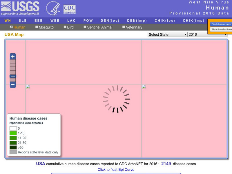
U.s. Geological Survey: Education: Disease Maps
Disease maps that trace the incidence of West Nile virus, encephalitis and dengue fever across the United States and its territories demonstrate one of the many uses of geography.
Houghton Mifflin Harcourt
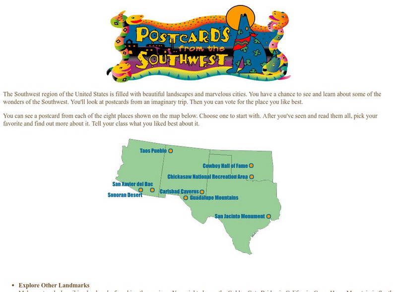
Harcourt: School Publishers: Postcards From the Southwest
The Southwest region of the United States is filled with beautiful landscapes and marvelous cities. Use this site to see and learn about some of the wonders of the Southwest. You'll look at postcards from an imaginary trip. Then you can...
National Endowment for the Humanities
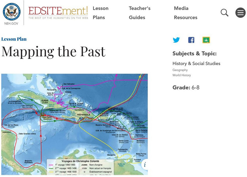
Neh: Edsit Ement: Mapping the Past
Students will examine European world maps from the Middle Ages, the Age of Discovery, and the period of New World exploration. They will then look at maps that record the early exploration of the American West and collect present-day...
Lizard Point Quizzes
Lizard Point: Western Usa: State Capitals Quiz
Test your geography knowledge by taking this interactive quiz over the state capitals of the western United States.
Lizard Point Quizzes
Lizard Point: Western Usa: States Quiz
Test your geography knowledge by taking this interactive quiz over the western United States.
A&E Television
History.com: The States
Learn unique facts about each American state. You can also read a more in-depth history of each state, watch videos and play a game about all the states.
Khan Academy
Khan Academy: Introduction to China
Much of China, a country slightly larger than the continental United States, is hilly or mountainous. To its east lies the Pacific Ocean; to its south thick jungles. Mountains in the southwest connect in the west with the Himalayas,...
Cayuse Canyon
The Us50
This clickable map of the United States gives students access to research information from history and tourism to attractions and famous historic figures.
Curated OER
National Park Service: Alcatraz Island
Part of the Golden Gate National Recreational Area, Alcatraz Island is located in the San Francisco Bay. Originally a lighthouse and military fort, the island is best known for being a federal prison. The island is packed full of...


