PBS
Pbs Kids: Where's Buster?: A u.s. Geography Game About the States
Develop map and directional skills as well as skills in following a series of clues to find which U.S. state Buster is in.
Annenberg Foundation
Annenberg Learner: u.s. History Map Interactive
Become a geography whiz as you learn how the United States was settled. Discover how the continent was irrevocably changed by European colonization, the events that caused the wholesale displacement and decimation of the land's original...
University of Texas at Austin
Perry Castaneda Library Map Collection: u.s. Maps
At this site find any type of map on the U.S. and any of its states here. Great site for teachers to print out maps to use in the classroom.
Other
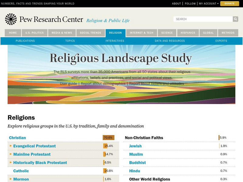
Pew Forum on Religion and Public Life: u.s. Religion Landscape Survey
Website summarizing the results of a survey on religion in the U.S. Contains maps and charts of information for each specific religion as well as bar graphs comparing the deomographics of the different religious groups. Two full reports...
Johns Hopkins University
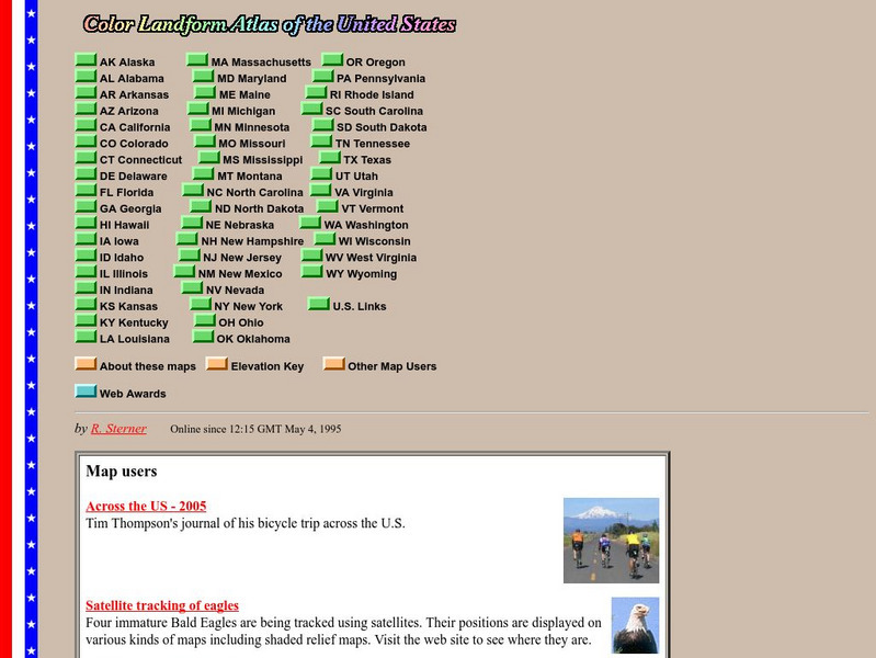
John Hopkins University: Color Landform Atlas of the u.s.
This site from John Hopkins University provides detailed maps of and physical information on each of the 50 states. Maps range from relief maps to satellite images, to historical maps.
University of Texas at Austin
Perry Castaneda Library Map Collection: Maps of u.s. National Parks
Alphabetical list of maps of United States National Parks and monuments produced by the U.S. National Park Service.
US Department of State
U.s. Dept. Of State: Afghanistan
Background notes and map of Afghanistan comprise the front page. See menu items for further information such as reports from the U.S. Embassy in Kabul, US aid in Afghanistan, NATO in Afghanistan, and notes on Rebuilding Afghanistan.
Teacher Oz
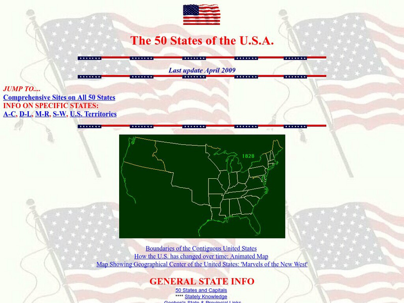
Teacher Oz: 50 States of the u.s.a.
A site with information such as maps, flags and songs of each of the 50 states in the US.
A&E Television
History.com: The States
Learn unique facts about each American state. You can also read a more in-depth history of each state, watch videos and play a game about all the states.
US Census Bureau
U.s. Census Bureau: Geography Topics
Geographical information from the U.S. Census Bureau: Maps and Mapping resources, Census Tract Resources, Geographic Programs, Reference Resources, and more.
Other
First Gov: Official Portal of the u.s. Government
A launching point for information about the U.S. government and its resources. One can search FirstGov by keyword or phrase, by browsing a topics list, or by selecting a federal branch (executive, legislative, or judicial). State and...
US Forest Service
U.s. Forest Service: Celebrating Wildflowers: Wildflower Viewing Areas
This wildflower map links to hundreds of national forest and grasslands sites in the U.S. where the enthusiast can enjoy views of wildflowers in their natural settings. Each site has detailed information about the location, what you will...
US Geological Survey
U.s. Geological Survey
The U.S. Geological Survey reports on the latest news affecting the earth today, as well as providing a wealth of data, reports, and information.
US Government Publishing Office
Ben's Guide to u.s. Government: Place the States Game
Place the states in the correct place on this map of the United States.
Other
U.s. Genealogy Map Project: u.s. Border/land Claims 1804 1823
A great map and a list of the acquisitions and border changes of the United States from 1804 to 1823. A concise resource showing Western expansion.
Houghton Mifflin Harcourt
Holt, Rinehart and Winston: World Atlas: United States
Features a detailed map of the United States with some basic facts. Click on each state name to get even a more detailed map and information.
50 States
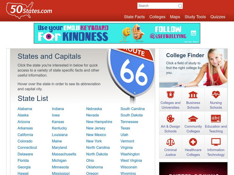
50 States: States and Capitals
This guide to the 50 U.S. states provides maps, pictures of state symbols, statistical information, and links to many other related sights. Test your knowledge with one of the quizzes or search for one of the fun facts.
Other
Accu weather.com: Precipitation Maps
A comprehensive site of precipitation maps for the entire U.S., regions of the U.S., individual states, and areas around the world. Includes maps showing predicted precipitation, actual precipitation, and accumulated precipitation. It...
University of Texas at Austin
University of Texas: Map of Early Indian Tribes in Eastern u.s.
A map of the land inhabited by Indian tribes in the eastern part of the United States before European settlement. Map shows linguistic stocks as well as culture areas, major, and minor tribes.
Other
Metrocosm: Here's Everyone Who's Immigrated to the u.s. Since 1820
America is referred to as a "melting pot". View how we attained this label using the following map that shows patterns of immigration from 1820-2013. Included are charts that show the immigration "waves" by country from 1820-2013.
US Holocaust Memorial Museum
U.s. Holocaust Memorial Museum: World War Ii in Europe: Animated Maps
The maps on this website show the ebb and flow of Germany's initial domination of Europe, and then the allies' retaking of the territory in WW II. Audio commentary describes the changes from 1939 to 1945.
US Geological Survey
U.s. Geological Survey: The Usgs and Science Education
"Explore things on, in, around and about the earth," with this web site dedicated to K-12 education from the United States Geological Survey. Homework help, science topics and fun learning games for students in Kindergarten through High...
Other
Google Maps Mashups: u.s. History: u.s. Presidents and Their Spouses
A visual of where the U.S. Presidents spouses are originally from.
Lizard Point Quizzes
Lizard Point: u.s.a.: States Quiz
Test your geography knowledge by taking this interactive quiz over the Unites States of America.


