Curated OER
Map of the United Kingdom/great Britian
This is an online resource for information on the United Kingdom of Great Britain, which consists of England, Wales, Scotland and Northern Ireland. The site includes a map and flag, government, industries, natural resources, economic...
Curated OER
Flag of United Kingdom
This is an online resource for information on the United Kingdom of Great Britain, which consists of England, Wales, Scotland and Northern Ireland. The site includes a map and flag, government, industries, natural resources, economic...
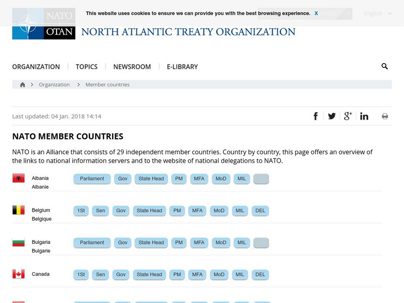
North Atlantic Treaty Organization
Nato: 19 Member Countries
Provides a list of all of the NATO countries along with links to their government sites. Users can find a vast amount of information about each of the member countries. A great resource for researching and learning about NATO or...
Curated OER
Educational Technology Clearinghouse: Clip Art Etc: Caesar in England
All histories of England commence with the invasion of Julius Caesar, the earliest event in that quarter of which we have any authentic account. The Island of Britain was an unknown region to the Romans, and nearly so to the rest of...
Houghton Mifflin Harcourt
Holt, Rinehart and Winston: Europa: Espana
This site has a map of Spain in Spanish, with informational data also presented in Spanish about the country. Land mass, population, life expectancy, literacy, industry, agriculture, minerals, and resources are among the topics...


