National Geographic Kids
National Geographic Kids: Europe: United Kingdom
Welcome to the United Kingdom! Follow this interactive overview of the country's history, geography, people, government, nature, and more. A map and video are included.
Nations Online Project
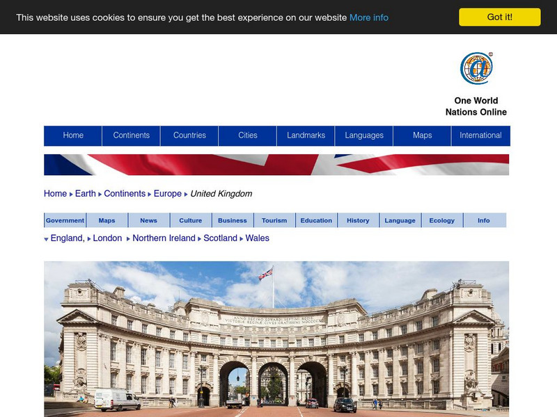
Nations Online: United Kingdom
A great country profile that takes you on a virtual trip to the United Kingdom. An overview is given on its art, culture, people, environment, geography, history, economy, and government. There are numerous links available that will...
Lizard Point Quizzes
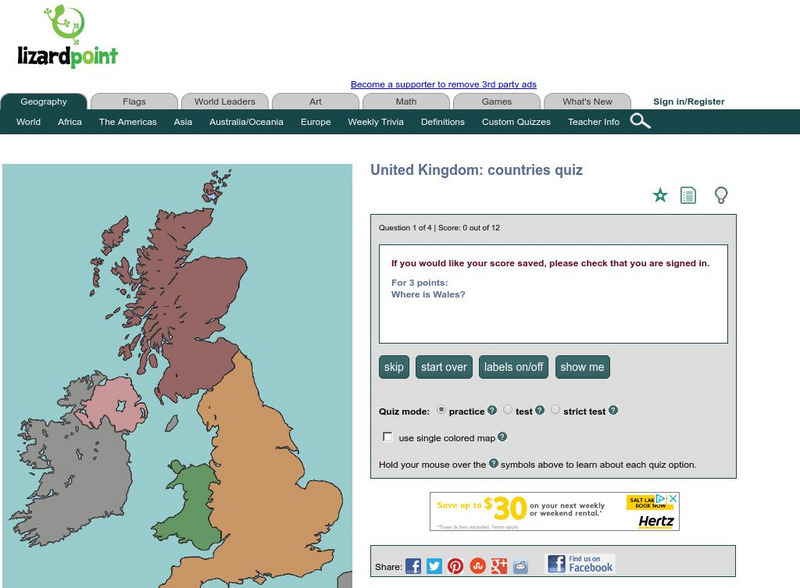
Lizard Point: United Kingdom: Countries Quiz
Try this interactive geography quiz which tests your knowledge about the countries of the United Kingdom.
Lizard Point Quizzes
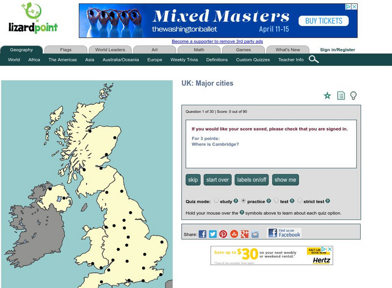
Lizard Point: United Kingdom: Major Cities Quiz
Test your geography knowledge by taking this interactive quiz over the major cities in the United Kingdom.
Curated OER
Science Kids: Science Images: Map of the United Kingdom
A political map of the United Kingdom.
Curated OER
Science Kids: Science Images: Map of the United Kingdom
A map featuring the United Kingdom and its neighboring countries.
Lizard Point Quizzes
Lizard Point: Wales: Provinces Quiz
Test your geography knowledge by taking this interactive quiz over the provinces in the country of Wales in the United Kingdom.
University of Oregon
University of Oregon: Mapping History: The Spread of Cotton: 1790 1860
An interactive map that shows the growth of cotton production in pre-Civil War South. The timeline at the bottom of the map indicates the year of the production.
Curated OER
Map of the United Kingdom/great Britian
This is an online resource for information on the United Kingdom of Great Britain, which consists of England, Wales, Scotland and Northern Ireland. The site includes a map and flag, government, industries, natural resources, economic...
Curated OER
Flag of United Kingdom
This is an online resource for information on the United Kingdom of Great Britain, which consists of England, Wales, Scotland and Northern Ireland. The site includes a map and flag, government, industries, natural resources, economic...
Enchanted Learning
Enchanted Learning: Zoom School: Uk of Great Britain and Northern Ireland
Use this site to explore the United Kingdom. Learn about the UK's flag, geography, map, explorers, animals, scientists, explorers and more.
Central Intelligence Agency
Cia: World Factbook: Turks and Caicos Islands
Facts, maps and geographical information about Turks and Caicos Islands, an overseas Caribbean territory of the United Kingdom.
Curated OER
Map of Uk
The BBC features an overview on the European country of the United Kingdom including key facts, historical background, information on political leaders and the news media, and a timeline of key events. Also provides links to recent news...
Curated OER
Educational Technology Clearinghouse: Maps Etc: Napoleon's Campaign, 1814
A map of France at the end of the War of the Sixth Coalition (1812-1814) between the French Empire under Napoleon Bonaparte and the coalition forces of Austria, Prussia, Russia, Sweden, United Kingdom, and several German States,...
Curated OER
Educational Technology Clearinghouse: Maps Etc: England and Wales, 1832
A map of England & Wales, subtitled "Parliamentary Representation in 1832 Before The Reform Bill." The Reform Act made wide-ranging changes in the electoral system in the United Kingdom due, in part, to the growth of large and...
Lizard Point Quizzes
Lizard Point: England: Counties Quiz
Try this interactive geography quiz which tests your knowledge about the counties of England.
Lizard Point Quizzes
Lizard Point: Scotland: Counties Quiz
Test your geography knowledge by taking this interactive quiz over the counties of Scotland.
Curated OER
Etc: Maps Etc: Europe at the Beginning of the Modern Era, 1792
A map of Europe in 1792 during the French Revolution and the beginning of the Modern Era. This map is color-coded to distinguish between various countries throughout the continent, including Great Britain, France, United Netherlands,...
Curated OER
Educational Technology Clearinghouse: Maps Etc: Italy, 1909
A map of Italy in 1909, prior to the resolution of the Italian Irredentist Movement to unite the territories of ethnic Italians. This map shows the territories of Tyrol, Istria, and Dalmatia under Austria-Hungary Empire rule, Corsica...
Curated OER
Educational Technology Clearinghouse: Maps Etc: Italy, 1919
A map of Italy in 1919, however, it shows the Italian provinces prior to the resolution of the Italian Irredentist Movement to unite the territories of ethnic Italians under the London Pact of 1915. This map shows the territories of...
Curated OER
Educational Technology Clearinghouse: Maps Etc: Italy, 1918
A map of Italy in 1918, however, it shows the Italian provinces prior to the resolution of the Italian Irredentist Movement to unite the territories of ethnic Italians under the London Pact of 1915. This map shows the territories of...


