Other
National Atlas of the United States
The National Atlas of the United States provides comprehensive information collected by the Federal Government and delivered through interactive maps. Select from a variety of scientific, societal, and historical information to be...
Countries and Their Cultures
Countries and Their Cultures: United States of America
Provides an overview of the culture of the United States. Gives basic information on topics such as geography, ethnic makeup, languages, symbolism, economy, food, customs, social stratification, family life, education, religion,...
Georgia Department of Education
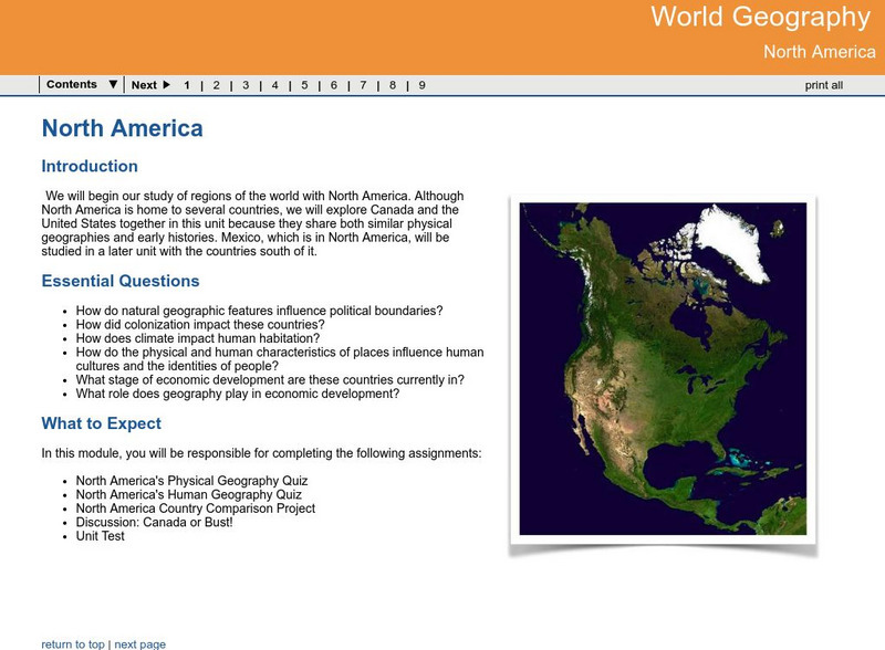
Ga Virtual Learning: World Geog: North America: The United States and Canada
World Geography learning module on the United States and Canada explores similarities and differences in the population, climate, resources and evolution of the two countries.
Ducksters
Ducksters: United States Geography: Regions
Kids learn about the geographical regions of the United States including the northeast, southeast, Midwest, southwest, and west.
Ducksters
Ducksters: United States Geography: Lakes
Kids learn about the major lakes of the United States including the Great Lakes, the Great Salt Lake, Crater, and Tahoe. Geography of the US.
Ducksters
Ducksters: United States Geography: Deserts
Kids learn about the major deserts of the United States including the Mohave, the Sonoran, the Chihuahuan, and the Great Basin Desert. Geography of the US.
Ducksters
Ducksters: United States Geography for Kids: Rhode Island
Kids learn facts and geography about the state of Rhode Island including symbols, flag, capital, bodies of water, industry, borders, population, fun facts, GDP, famous people, and major cities.
Ducksters
Ducksters: Geography for Kids: United States
Learn about the geography of the United States including capitals, flag, state bird, fun facts, history, state tree, timeline, and counties on this site.
HotChalk
Hot Chalk: Lesson Plans Page: Edible Geography
Lesson that helps students understand geography of states by creating an edible map of the state, using real food to indicate parts of the state.
Ducksters
Ducksters: Geography for Kids: United States
Explore the history, capital, flag, climate, terrain, people, economy, and population of the United States on this website.
US Census Bureau
U.s. Census Bureau: Gazetteer Files
The U.S. Gazetteer Files provide a listing of all geographic areas for selected geographic area types. The files include geographic identifier codes, names, area measurements, and representative latitude and longitude coordinates. There...
Georgia Department of Education
Ga Virtual Learning: Ap Human Geography: Migration
AP Human Geography learning module on migration explores push/pull factors and migration patterns worldwide and within the United States. Comprehensive materials, multi-media and interactive resources.
Library of Congress
Loc: Mapping the National Parks
A rich and historically significant collection of maps of various national parks throughout the United States. Features special sections on Yellowstone, Acadia, the Grand Canyon and the Smoky Mountains. Includes historical photographs of...
Ducksters
Ducksters: Arizona State History for Kids
Students can learn about the history and timeline of the state of Arizona including early explorers, Native Americans, the Wild West, and how it became a part of the United States on this website.
Ducksters
Ducksters: Us Geography: Mountain Ranges
Kids learn about the mountain ranges of the United States including the Rockies, Appalachians, and Sierra Nevada. Geography of the US.
National Geographic
National Geographic: Introduction to Latitude and Longitude
In this lesson, students learn to determine the latitude and longitude of locations within the United States, while making observations about climate and the ways in which these measurements can be useful. Includes maps and discussion...
Other
National Atlas
This site is excellent for mapping. You can create ANY kind of map you need. Select all kinds of layers: agriculture, biology, boundaries, climate, history, and more, and then select the geography. It does take some time to figure out...
Alabama Learning Exchange
Alex: Classroom Feud
As part of a unit about the state of Alabama, learners spend time collecting information about the state, which they in turn report to a classroom in another state using distance learning equipment. Then the two classroms in different...
Arcademics
Arcademics: Penguin Hop
Penguin Hop is a multiplayer geography game that allows students from anywhere in the world to race against each other while matching states and capitals!
PBS
Nova: Tornado Country
Why do the majority of the world's twisters occur in the United States? Find out the role that geography and climate play in spawning tornadoes.
PBS
Pbs: American Experience: Mass Exodus From the Plains
This site is from PBS.org explaining the migration of people out of the plains during the dust bowl. Use this article to learn all about the reasons people left and where they went.
Alabama Learning Exchange
Alex: Dream Vacation
This unit teaches young scholars to plan a trip with an itinerary, remain within a budget, and work cooperatively. It is a technology-based project that combines a study of mathematics, economics, geography, and social studies.
University of Texas at Austin
University of Texas: Restoring Women to World Studies [Pdf]
In much of the social studies-especially courses focused on world history, geography, and culture-there has been a long-standing awareness that the experience of women has been left out of the narrative. Recent changes in state,...
Other popular searches
- United States Maps
- United States Maps Regions
- Northeast United States Maps
- 50 United States Maps
- Create United States Maps
- Western United States Maps
- Custom United States Maps
- Outline Maps United States
- Blank United States Maps
- United States Landforms Maps
- United States Geography Maps
- United States Political Maps


