Ducksters
Ducksters: United States Geography for Kids: Wyoming
Kids learn facts and geography about the state of Wyoming including symbols, flag, capital, bodies of water, industry, borders, population, fun facts, GDP, famous people, and major cities.
Ducksters
Ducksters: United States Geography for Kids: Arkansas
Kids learn facts and geography about the state of Arkansas including symbols, flag, capital, bodies of water, industry, borders, population, fun facts, GDP, famous people, and major cities.
Ducksters
Ducksters: United States Geography for Kids: Vermont
Kids learn facts and geography about the state of Vermont including symbols, flag, capital, bodies of water, industry, borders, population, fun facts, GDP, famous people, and major cities.
Ducksters
Ducksters: United States Geography for Kids: Washington
Kids learn facts and geography about the state of Washington including symbols, flag, capital, bodies of water, industry, borders, population, fun facts, GDP, famous people, and major cities.
Ducksters
Ducksters: United States Geography for Kids: West Virginia
Kids learn facts and geography about the state of West Virginia including symbols, flag, capital, bodies of water, industry, borders, population, fun facts, GDP, famous people, and major cities.
Ducksters
Ducksters: United States Geography for Kids: Ohio
Kids learn facts and geography about the state of Ohio including symbols, flag, capital, bodies of water, industry, borders, population, fun facts, GDP, famous people, and major cities.
Other
Nas: Studying Classroom Teaching as a Medium for Professional Development
The Mathematical Sciences Education Board (MSEB) and the U.S. National Commission on Mathematics Instruction (USNCMI) took advantage of a unique opportunity to bring educators together. In August 2000, following the Ninth International...
New York Times
New York Times: Crossword Puzzle: The Fifty States
The New York Times Learning Network presents an online crossword puzzle that you can print or play online. This one is on The Fifty States. Subject matter may be a bit deep for an elementary student to work on independently.
The White House
The White House: Presidents: Ronald Reagan
A biography of Ronald Reagan, the 40th President of the United States. The biography contains a picture as well as a link to the Ronald Reagan Library and Museum.
Other
State Library of North Carolina: From Crossroads to Capital: History of Raleigh
A collection of maps, photographs, and historical documents that explore the growth of the city of Raleigh, North Carolina, from its earliest years onward.
Country Studies US
Country Studies: Foreign Economic Relations
Exports were the key to South Korea's industrial expansion. Until 1986 the value of imports was greater than exports. This situation was reversed, however, in 1986 when South Korea registered a favorable balance of trade of US$4.2...
Curated OER
National Park Service: North Carolina State Capitol
A teaching unit designed for grades 5-12. Students will examine North Carolina's early history and learn how Raleigh became the state's permanent capital. They will also probe into the building history of North Carolina's State House and...
Independence Hall Association
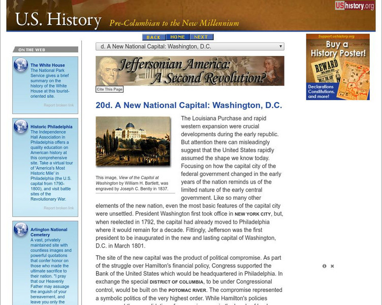
U.s. History: A New National Capital: Washington, d.c.
John Adams was the first president to reside in the President's House in the new capital Washington, D.C. Thomas Jefferson was the first president to be inaugurated there. Read about how this swampy area became the location of the...
Other
D.c. History Project: Nation's Capital Moves to d.c.
Read the entry for May 15, 1800, to find out about John and Abigail Adams' feelings about the new President's Palace in the new capital of Washington, D.C.
PBS
Pbs: Commanding Heights the Battle for the World Economy
A huge site dedicated to an understanding of the current global economic system. Includes the history, forces, values and perceptions that have shaped the world's economy. A comprehensive resource that includes a detailed economic report...
Annenberg Foundation
Annenberg Classroom: Death Penalty
This resource offers extensive information for students and teachers examining the issue of the death penalty and whether it is morally right, if it violates the Constitution, and whether enforcing it has had any impact on violent crime....
Lizard Point Quizzes
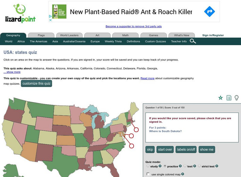
Lizardpoint: The Usa Quiz
Test your ability to identify each state on a United States map. Answer the question to the left and see your results.
University of Groningen
American History: Outlines: Basic Ingredients of the Us Economy
Every economic system tries to anticipate and then meet human needs through the production and distribution of goods and services. The economic system is the mechanism that brings together natural resources, the labor supply, technology,...
Other
Streetlaw: Criminal Law and Juvenile Justice
The chapters of this unit on criminal law and juvenile justice are as follows: "Crime in America," "Introduction to Criminal Law," "Crimes Against the Person," "Crimes Against Property," "Defenses," and "The Criminal Justice Process: The...
Scholastic
Scholastic: Hunting for States, Capitals, and National Parks! [Pdf]
Students can use a map of the United States to locate state capitals and national parks.
Ducksters
Ducksters: United States Geography for Kids: New Hampshire
Kids learn facts and geography about the state of New Hampshire including symbols, flag, capital, bodies of water, industry, borders, population, fun facts, GDP, famous people, and major cities.
Ducksters
Ducksters: United States Geography for Kids: South Dakota
Kids learn facts and geography about the state of South Dakota including symbols, flag, capital, bodies of water, industry, borders, population, fun facts, GDP, famous people, and major cities.
Curated OER
Educational Technology Clearinghouse: Maps Etc: The United States, 1913
A map from 1913 of the United States with an inset map of the Alaska Territory. The map shows state boundaries and capitals at the time (for example, the map shows Guthrie as the capital of the Oklahoma Territory), major cities and...
Curated OER
Educational Technology Clearinghouse: Maps Etc: United States of America, 1883
A map from 1883 of the 'lower forty-eight’ United States showing state boundaries and state capitals, major cities and towns, mountain systems, lakes, rivers, and coastal features. The map shows Yellowstone National Park, the first in...








![Scholastic: Hunting for States, Capitals, and National Parks! [Pdf] Activity Scholastic: Hunting for States, Capitals, and National Parks! [Pdf] Activity](https://content.lessonplanet.com/knovation/original/480522-367e1f79d58efef695e5c826460eaadd.jpg?1661587497)

