Hi, what do you want to do?
University of Oregon
Mapping History Project: Territorial Expansion of the u.s. 1783 1853
Click on the sliding bar and watch how the United States territory grew with the Louisiana Purchase, Florida Acquisitions, Texas Annexation, Oregon Country, and Mexican Cession.
Annenberg Foundation
Annenberg Classroom: The Illuminated Our Constitution
Check out this ibook on the United States Constitution.
University of Groningen
American History: Outlines: The Era of Expansion and Reform
Information about the period in United States history between the Civil War and World War I. The United States was transformed from a rural republic to an urban state.
Read Works
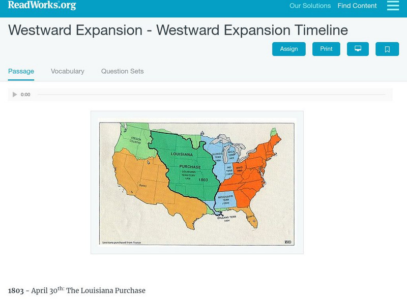
Read Works: Westward Expansion Westward Expansion Timeline
[Free Registration/Login Required] A timeline of westward expansion in the United States. A question sheet is available to help students build skills in reading comprehension.
PBS
Pbs Learning Media: Westward Expansion, 1860 1890
In this interactive map, explore several ways in which the United States experienced substantial growth between the years 1860-1890.
University of Groningen
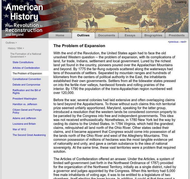
American History: Outlines: The Problem of Expansion
With the end of the Revolution, the United States again had to face the old unsolved Western question -- the problem of expansion, with its complications of land, fur trade, Indians, settlement and local government. Lured by the richest...
University of Groningen
American History: Outlines: The Era of Expansion and Reform
Outlines the period of United States history between the Civil War and World War I known as the Era of Expansion and Reform.
PBS
Pbs Learning Media: Westward Expansion, 1790 1850
This interactive map explores the territorial and population changes in the United States between 1790 and 1850. It also covers the beginning of the transportation revolution and the Native American land cessions and forced removals.
Other
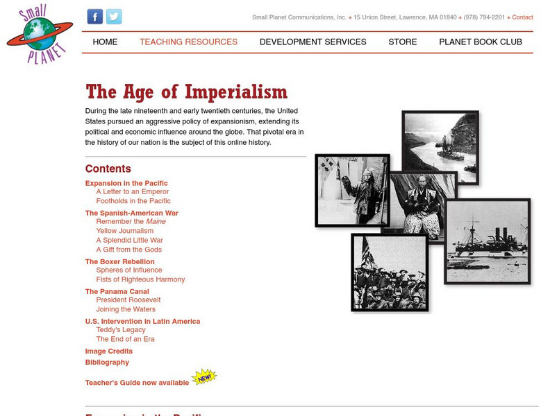
On Line History of the United States: The Age of Imperialism
Online history page containing numerous links to specific incidents of U.S. expansion in the Pacific, Latin America, China, and Cuba.
Annenberg Foundation
Annenberg Learner: u.s. History Map Interactive
Become a geography whiz as you learn how the United States was settled. Discover how the continent was irrevocably changed by European colonization, the events that caused the wholesale displacement and decimation of the land's original...
The Newberry Library
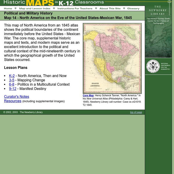
Newberry: Political and Military History: Map 14: u.s. Mexican War, 1845
Lessons for students in K-12 depicting North America prior to the United States and Mexico War, 1845. Students explore the mid-century political and cultural context in which the U.S. experienced growth and expansion.
The White House
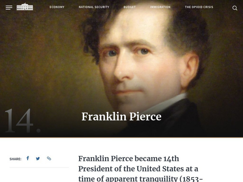
The White House: Presidents: Franklin Pierce
Details Franklin Pierce's career as the 14th President of the United States and his background information. A portrait is included.
PBS
Wnet: Thirteen: Freedom: A History of Us: Liberty for All? Webisode 3
Webisode 3 - Liberty for All? The history of the United States is presented in a series of webisodes, within each are a number of segments.Included are links to lesson plans, teacher guides, resources, activities, and tools.
Other
Geni: American Abolitionist Movement
Looks at the history of the abolitionist movement in the United States, the key people involved, and important events.
Digital History
Digital History: Western Expansion: Conclusion
A good overview of the territorial expansion and its results that occurred in the United States over the first half of the 19th century.
Independence Hall Association
U.s. History: Westward Expansion: The Louisiana Purchase
Read about the fortuitous purchase made that doubled the size of the United States. See why Napoleon was willing to sell the land, and find out about the quandary Thomas Jefferson was in as he had to go against his strict construction...
Other
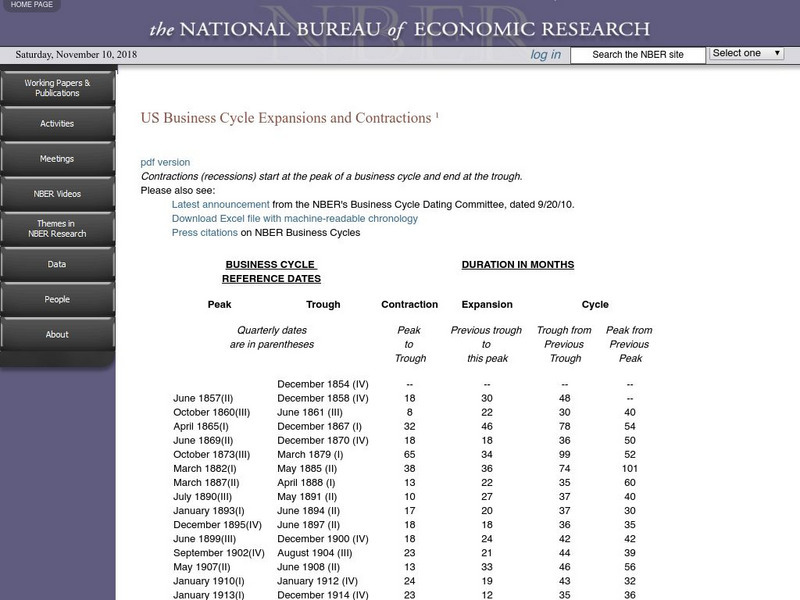
U.s. Business Cycle Expansions and Contractions
Detailed chart showing the number and duration of the business cycle in the United States, from 1854 to the present.
Smithsonian Institution
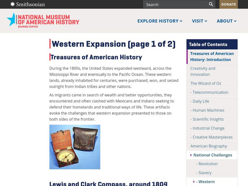
National Museum of American History: Treasures of Am. History: Western Expansion
Shown are images and descriptions of artifacts that express the challenges that the migrants, Mexicans, and Indians shared in their quest for westward expansion in the United States during the 1800s.
Annenberg Foundation
Annenberg Learner: Us History Map Assessment: Test Your Skills
Test how much you know about major U.S geographic features, Indian tribes, states and regions, European colonists and territorial expansion. View your correct and incorrect answers, and print out your assessment.
University of Groningen
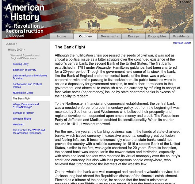
American History: Outlines: The Bank Fight
Although the nullification crisis possessed the seeds of civil war, it was not as critical a political issue as a bitter struggle over the continued existence of the nation's central bank, the second Bank of the United States. The first...
Other
California State Parks: Gold Rush
The California State Parks presents a brief unit on the California Gold Rush including three lessons which begin with the westward movement to California for gold, the actual process of mining for gold, then the effects of the rush on...
Curated OER
Etc: Expansion of the United States , 1783 1853
A map from 1904 of the United States showing the territorial acquisitions up to the Gadsden Purchase in northern Mexico in 1853. The map is coded to show the territory of the original United States and the Northwest Territory defined by...
Curated OER
Etc: Expansion of the United States, 1783 1853
A map from 1904 of the United States showing the territorial acquisitions up to the Gadsden Purchase in northern Mexico in 1853. The map is coded to show the territory of the original United States and the Northwest Territory defined by...
Curated OER
Etc: Expansion of the United States, 1783 1853
A map from 1912 of the United States showing the territorial acquisitions up to the Gadsden Purchase in northern Mexico in 1853. The map is color-coded to show the territory of the original United States and the Northwest Territory...


