Hi, what do you want to do?
Ohio State University
Osu History Teaching Institute: Manifest Destiny and Westward Expansion
This lesson looks at ways that the ideology of Manifest Destiny expressed both national political objectives and the goals of ordinary men and women who settled the west.
Library of Congress
Loc: Billy the Kid: Perspectives on an Outlaw
This instructional activity relates to the westward movement in the United States in the late nineteenth and early twentieth centuries. Students analyze the role that gunfighters played in the settlement of the West and distinguish...
Other
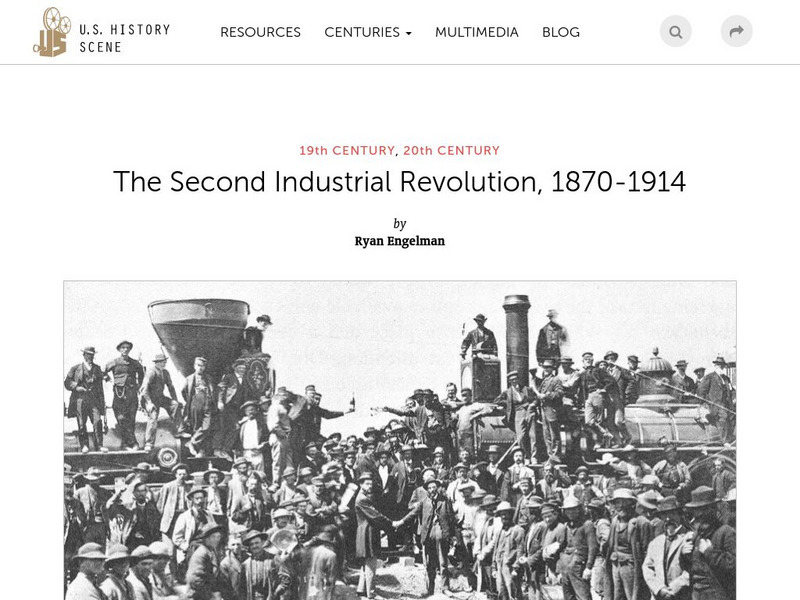
U.s. History Scene: The Second Industrial Revolution, 1870 1914
Between 1820 and 1860, the visual map of the United States was transformed by unprecedented urbanization and rapid territorial expansion, facilitated by the railroad system. These changes mutually fueled the Second Industrial Revolution...
Independence Hall Association
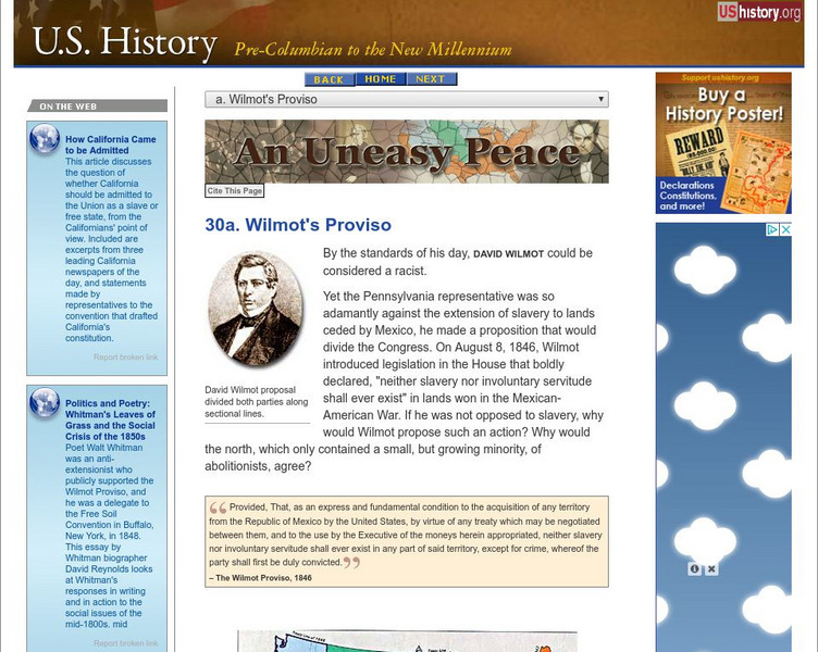
U.s. History: Wilmot's Proviso
Congressman David Wilmot, even before the end of the Mexican-War, proposed legislation that would outlaw the expansion of slavery into the new territory, should the United States acquire it. Read about his reasons for proposing the...
Other
U.s. Genealogy Map Project: u.s. Border/land Claims 1804 1823
A great map and a list of the acquisitions and border changes of the United States from 1804 to 1823. A concise resource showing Western expansion.
Library of Congress
Loc: A Russian Settlement in Alaska
In the early 19th century, most of the land that is now Alaska was claimed by the Russian empire, and its most significant community was Novo-Arkhangelsk, which today is called Sitka. From 1808 until the sale of Alaska to the United...
University of Groningen
American History: Essays: The Iron Horse: Advanced Technology
From a lengthy essay on the history of the railroad in the United States. This section describes the debate over the construction of railroads, the competition between canals and railroads, and the companies that were building rail...
Digital History
Digital History: Rise of Democratic Politics
Although difficult to comprehend, after the demise of the Federalists, there was essentially just one political party in the United States for about a decade. Read about the rise of the new two-party system and how the attack on...
University of Illinois
University of Illinois: Early American Trade in China: The Sea Man's Vade Mecum, 1707 [Pdf]
The following is excerpted from a book called Vade Mecum published in France in 1707. Although the book was written to establish basic standards of behavior, punishment, protocol, and procedure on French naval ships, it served as...
Independence Hall Association
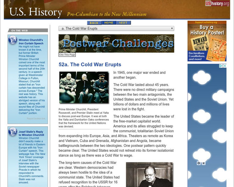
U.s. History: The Cold War Erupts
World War II ended in 1945 and the Cold War began immediately. Read about the mistrust Western Europe and the United States felt towards the Soviet Union and Joseph Stalin. Learn how the Soviets expanded their realm of influence and...
The College Board
Driven to the City: Urbanization and Industrialization in the 19th Century
Scholarly article discussing the trend towards urbanization in the United States and other industrialized countries in the nineteenth century.
Annenberg Foundation
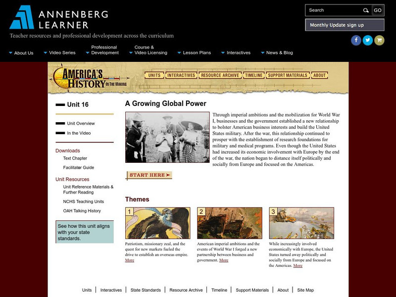
Annenberg Learner: America's History in the Making: Growing Global Power
A comprehensive teaching unit on the emergence of the United States as a global power after World War I. Learn about America's drive for expansion, first by the military, then by businesses. Contains video and text materials, web...
Curated OER
Etc: Maps Etc: Dispute Between United States and Mexico, 1846
A map showing the disputed territory in 1846 between the Nueces River, claimed to be the territory boundary by Mexico, and the Rio Grande River, claimed to be the boundary by the Republic of Texas. The map also shows the old Spanish...
National Humanities Center
National Humanities Center: Toolbox Library: Expansion: Elias Boudinot
The National Humanities Center presents collections of primary resources compatible with the Common Core State Standards - historical documents, literary texts, and works of art - thematically organized with notes and discussion...
Khan Academy
Khan Academy: The Kansas Nebraska Act and Party Realignment
Learn about the Kansas-Nebraska Act. Passed in 1854, it reopened the debate over the expansion of slavery in the United States.
Harry S. Truman Library and Museum
Harry S. Truman Library and Museum: Marshall Plan
Excerpts from an interview with George C. Marshall concerning the Marshall Plan. Questions are also supplied to assist in expansion of knowledge about the topics.
Houghton Mifflin Harcourt
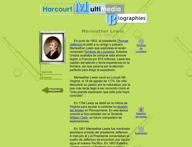
Harcourt: Biographies: Meriwether Lewis
A biography of Meriwether Lewis, the man in charge of one of the great expeditions of the United States. (In Spanish)
US Holocaust Memorial Museum
U.s. Holocaust Memorial Museum: Anchluss, March 1938
A map showing the expansion of Germany into Austria in 1938, which resulted in the Anschluss, the unification of Germany and Austria.
Other
Global Security: 54 40 or Fight
Describes the significant territorial changes that took place in the United States under the presidency of James K. Polk. These included the annexation of Texas, the settling of the dispute with Great Britain over claims to Oregon...
Library of Congress
Loc: Today in History: January 31: John C. Fremont: The Pathfinder
A biography of a colorful but controversial character of the West, a candidate for president of the United States, and major-general during the Civil War.
History Tools
History Tools: John O'sullivan Coins the Phrase Manifest Destiny 1845 [Pdf]
What was "manifest destiny"? In this excerpt, learn the role race played in American expansionism and the proposed addition of Texas to the United States.
Curated OER
Etc: Maps Etc: The Expansion Resulting From the Louisiana Purchase, 1803
A base map showing the expansion of the United States resulting from the Louisiana Purchase in 1803.
Curated OER
Educational Technology Clearinghouse: Maps Etc: New States Admitted, 1783 1821
A map of the United States showing the original states at the end of the American Revolutionary War (1783) and the states admitted to the Union up to 1821, with the date of admission for each new state given.
Curated OER
Etc: Maps Etc: Admission of States to the Union, 1899
A map from 1899 of the United States showing the growth of the nation from the original States in 1783 to the admission of Utah into the Union in 1896. The map shows the Northwest Territory claimed at the end of the American...


