Curated OER
A Revolutionary Idea!
Fifth graders explore the Industrial Revolution. They examine the early gristmills and sawmills. Students explain why they were necessary and helpful in the lives of early Americans.
Curated OER
social studies: Life in Colonial America
Students explore the trials and tribulations early colonial life and note its successes. Through literature, Internet research, and interactive software, they engage in various activities to evaluate early social and cultural development.
Curated OER
Political Geography of Europe
Fifth graders listen to a lecture that traces the political geography of Europe from 814 through 1997. They incorporate these themes into a research project on Western Europe.
Curated OER
Mississippi Gulf Coast Islands
Fourth graders complete a variety of exercises as they study the creation, history, and geography of the Mississippi coastal islands. They discover the natuaral forces that act on the islands and how these forces affect the habitats and...
Curated OER
From the Sea to the Summit, Land Use on Maui
Fourth graders examine the how the land is used on the islands of Hawaii. Using this information, they discover how elevation affects how the land is used and represent this data in a visual form. They describe existing and alternative...
Curated OER
A-maizing Facts
Students research the lives of Native Americans living in the Northeast Woodlands region, focusing on how the climate, location, and physical surroundings affected their way of life.
Curated OER
Passport to the Eastern Hemisphere
Seventh graders create a time line of significant dates in the history of their nation. This requires students to examine the entire history of a country and make informed judgments based on their historical knowledge.
Curated OER
Dr. Teeth and Dr. Gums To The Rescue
Second graders role play as dentists researching teeth and their care. They create a slide show showing how a character, Bear, can take care of this teeth explaining habitats, diets and teeth.
Curated OER
STONEHENGE
Students work in cooperative groups to create a theory about the origin of Stonehenge. Each member of the group has a specific role, responsibilities and tasks. The group work can be implemented as a scaffolding technique.
Curated OER
Chemical Changes by Gems
Seventh graders observe that heat is produced when two substances are combined. They brainstorm how, and then experiment to find out which of two chemicals created the heat.
Curated OER
Biome Web Quest
Third graders create paper mache globes, paint them and label the oceans and the continents. In groups, they research a biome, write about it and create an artistic visual representation of the biome and present it to the class.
Curated OER
Utah American Indian and non-Indian Conflicts
Seventh graders examine Utah's struggle for statehood. They study the relationship between American Indian and non-Indians during the Utah Territorial period and determine that the process of statehood involving cultures, and ideas left...
Curated OER
Confederation II : the Sequel
Learners examine the dynamics and challenges of creating a system of government that meet the needs of a changing, diverse population, for a new country. This is a nice simulation/role play of the formation of government.
Other
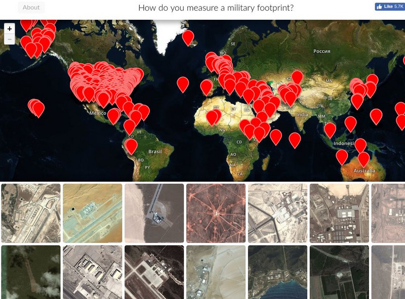
Mapping United States Military Installations
How do you measure a military footprint? In people? Dollars? Space? This website is an ongoing attempt to map one aspect of that question- by visualizing the location of United States military installations.
PBS
Pbs: Face Off: United States Foreign Policy With n.korea
A lesson plan that shows the relationship between the United States and North Korea. It has the students answer questions about what they believe the US and North Korea should do to ease tensions between the two countries. The...
Lizard Point Quizzes
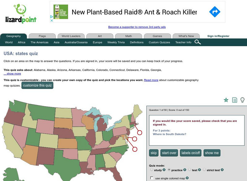
Lizardpoint: The Usa Quiz
Test your ability to identify each state on a United States map. Answer the question to the left and see your results.
Curated OER
Educational Technology Clearinghouse: Maps Etc: United States, 1888
A map from 1888 of the United States showing state boundaries and state capitals, major cities and towns, mountain systems, lakes, rivers, and coastal features. Longitude from Greenwich is shown at the top of the map, and from Washington...
Curated OER
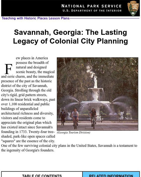
National Park Service: Savannah, Ga: Lasting Legacy of Colonial City Planning
The site explores the colonial history of the city of Savannah, Georgia. This interactive instructional activity has excellent information, an inquiry question, historical context, maps, readings, images, and activities.
ClassFlow
Class Flow: North American Regions
[Free Registration/Login Required] This flipchart contains a labeling activity and Activote questions pertaining to the North American regions.


