University of Texas at Austin
Ut Library Online: Historical Maps of the United States
This extensive collection of Historical United States maps from the University of Texas Library Online cover early inhabitants, exploration and settlement, territorial growth, military history, and later historical maps. These maps are...
Other
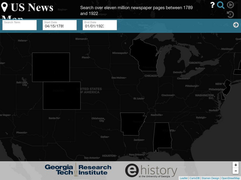
Georgia Tech Research Institute: Chronicling America: Us News Map
A fascinating way to look at history, this interactive map lets you search for a person, event, issue, etc. over a specified time frame and it maps newspapers containing related content onto a map of the United States. An additional...
Curated OER
Educational Technology Clearinghouse: Maps Etc: United States, 1888
A map from 1888 of the United States showing state boundaries and state capitals, major cities and towns, mountain systems, lakes, rivers, and coastal features. Longitude from Greenwich is shown at the top of the map, and from Washington...
Curated OER
Educational Technology Clearinghouse: Maps Etc: Drawing the United States, 1872
A map skills exercise from 1872 showing the drawing of the United States with proportional measurements. The map shows state and territory boundaries at the time (Dakota, Montana, Washington, Idaho, Wyoming, Utah, Oklahoma, New Mexico,...
Curated OER
Educational Technology Clearinghouse: Maps Etc: Forest Regions, 1898
A map from 1898 of the United States showing the forest regions in the contiguous 48 states. "Fully one third of the timber cut in the world each year comes from the forests of the United States. Indeed, lumbering is carried on so...
Curated OER
Etc: Maps Etc: Route of the Panama Isthmian Canal, 1904
A map from 1904 of the Panama Canal showing terrain relief of the isthmus, noting the 'Canal always follows the line of the Railroad’ from Colon to the city of Panama. "For generations the Panama Canal had been the dream of man and for...
Curated OER
Etc: Maps Etc: Density of Population in the u.s., 1901
A map from 1901 of the United States showing the population distribution at the time. The map is keyed to show areas of population densities ranging from sparse to very dense. This map is part of a classroom map study illustrating how,...


