Central Intelligence Agency
Cia: World Factbook: United States
This resource from the CIA World Factbook provides a detailed fact sheet of United States. The content covers the country's geography, people, government, economy, communications, transportation, military, and transnational issues. It...
World Atlas
World Atlas: United States of America
A comprehensive guide to the United States of America including a variety of maps, statistics, facts, and information on history, geography, flags, symbols, travel, and much more.
National Geographic
National Geographic: Population Density in the United States
Several factors contribute to the population trends across the United States. This lesson will explore maps to discover and understand these trends.
US Geological Survey
Usgs: Geologic Provinces of the United States: Records of an Active Earth
Discover what geological treasures abound all around the nation. The United States has been organized into provinces based on geological features. Click on a province on the map, or on the links below it, to view a page of information...
Annenberg Foundation
Annenberg Learner: United States History Map: From Sea to Shining Sea
A great interactive map that reinforces your knowledge of the geographic features of the United States. Begin by reading general information on reading maps, then play the game.
PBS
Pbs: Face Off: United States Foreign Policy With n.korea
A lesson plan that shows the relationship between the United States and North Korea. It has the students answer questions about what they believe the US and North Korea should do to ease tensions between the two countries. The lesson...
University of Minnesota
U Mn: Immigrants & Cities: Mapping Ethnic Enclaves in Early 20th Century Us
This resource couples a visual and descriptive map of urban ethnic enclaves with an oral interview by an immigrant growing up in New York City. Its goal is to provide different ways of "mapping" or understanding life for immigrants...
Other
The United States of America: Vietnam War Commemoration
Website commemorating the 50th Anniversary of the Vietnam War celebrates veterans and their families, allies and Armed Forces. Provides history, maps and timeline of events.
Library of Congress
World Digital Library: Map of Atlantic Coast: Chesapeake Bay to Florida
A historic map of the Atlantic coast of America created by cartographer Joan Vinckeboons around 1639 for the Dutch West India Company. A feature on the page allows the visitor to listen to and read the accompanying descriptive text in...
US National Archives
National Archives: Lewis and Clark's Expedition to the Complex West
Jefferson sent Lewis and Clark to explore the land annexed in the Louisiana Purchase knowing that his area was already inhabited and politically complicated. Students will explore documents related to the purchase and use the map to...
Other
Metrocosm: The Shape of the Us Economy
Using cartograms, compare the GDP's of rural and urban areas in the Unites States. View the 10 largest metro areas by GDP and see how the US compares to the United Kingdom in terms of GDP.
University of Illinois
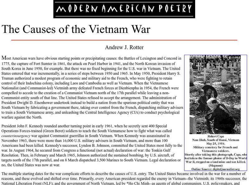
University of Illinois: Maps: Causes of the Vietnam War
This essay from The Oxford Companion to American Military History goes into the causes of the Vietnam War and shows how the United States became embroiled incrementally from the 1950s up to 1965. An interesting section explains how the...
Virginia History Series
Virginia History Series: Virginia State History 20th Century (1900 1920) [Pdf]
Delve into Virginia's pivotal role in America's early 20th century through this slideshow. Students can visualize WWI, Virginia's naval bases, and other events such as the suffrage movement and prohibition in Virginia. The slideshow...
Library of Congress
Loc: Discovery and Exploration
This American Memory site documents the discovery and exploration of the Americas with both manuscripts and published maps, many of which date from the European Age of Discovery. The site includes 22 map titles and descriptions, as well...
Library of Congress
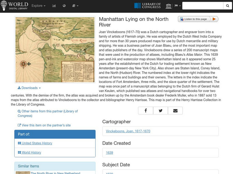
World Digital Library: Manhattan Lying on the North River
A historic map of Manhattan created by cartographer Joan Vinckeboons around 1639 for the Dutch West India Company. A feature on the page allows the visitor to listen to and read the accompanying descriptive text in seven different...
Other
Eastern Illinois Univ.: Childhood Lost: Child Labor During Industrial Revolution
A unit on child labor during the Industrial Revolution. The focus is on using primary resources to learn about this issue and this time in American history. Includes many images and documents. The unit is cross-curricular with activities...
Georgia Department of Education
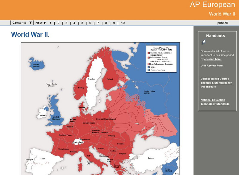
Ga Virtual Learning: Ap European: World War Ii
AP European History learning module on World War II traces the beginnings of the war from a dissillusioned Europe through the course of the war. Module includes assignments, enrichment activities, downloads, maps and assessment for...
US Holocaust Memorial Museum
U.s. Holocaust Memorial Museum: Anne Frank
This website gives a short biography of Anne Frank. There are links to maps and photographs.
Other
Voters Ed
This learnng resource, a trial edition, contains an assortment of interactive maps. One map shares voting trends over past United States Presidential years. A voting prediction map is also provided.
PBS
Pbs Learning Media: Westward Expansion, 1860 1890
In this interactive map, explore several ways in which the United States experienced substantial growth between the years 1860-1890.
Library of Congress
Loc: Language of the Land
Language of the Land uses the metaphor of a journey to tour the rich literary heritage of the US through maps, the words of authors, images of characters, and photographs.
University of Washington
University of Washington: Communist Party Usa History and Geography
Maps and charts detail electoral support, showing the number and percentage of votes for Communist candidates in every county and state from 1922 to 1946, party membership by state or district from 1922-1950, the intense geography of...
US Environmental Protection Agency
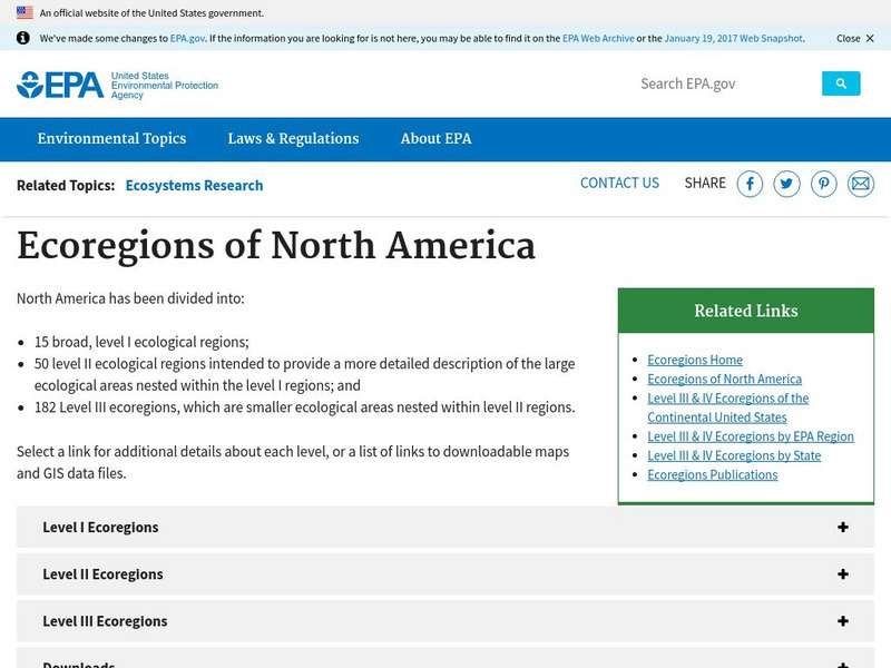
Epa: Ecological Regions of North America
A helpful map of North America which color codes its 15 ecological regions. Click on the different regions for a brief description of the area.
US Geological Survey
Usgs: The Himalayas: Two Continents Collide
This site from the U.S. Geological Survey explains how the Himalayas were formed by plate-tectonic forces. Includes a nice map to help visualize the theory.
Other popular searches
- United States Maps Regions
- Northeast United States Maps
- 50 United States Maps
- Create United States Maps
- Western United States Maps
- Custom United States Maps
- Outline Maps United States
- Blank United States Maps
- Maps, United States Rivers
- Maps United States Capitals
- Maps of the United States
- Maps United States
