Library of Congress
World Digital Library: United States History: Map
A collection of primary source materials linked to a map that explore a wide scope of events in the history of the United States from 1492 on. Click on any numbered circle and a popup appears showing one or more thumbnails and where the...
Other
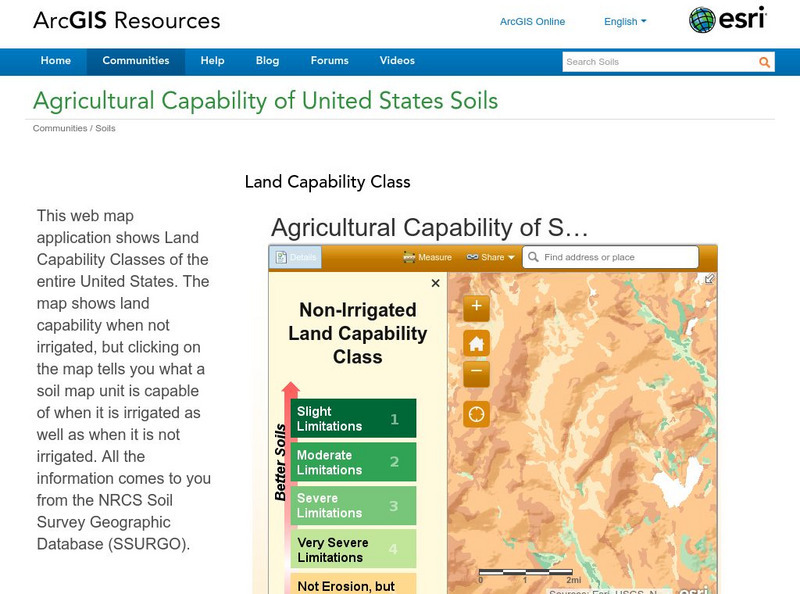
Esri: Arc Gis: Agricultural Capability of United States Soils
A sophisticated map tool that shows the capability of soils for agriculture, with or without irrigation, for the whole of the United States. Enter a location and a color coded map is shown, along with a key for interpreting it. The...
Library of Congress
Loc: Maps of Cities and Towns
Looking for old maps of somewhere in the United States? Check out this huge collection of maps! Search by the name of a city or town, another keyword, subject, title, or geographic location.
Other
United States Naval Academy: Papacy and Empire
This comprehensive summary details the history of the strained relationship between the kings and popes during the time period of 955-1356. Their fight for dominance is outlined by date with primary source documents, pictures, artwork,...
Other
United States Naval Academy: Kings and Kingdoms of England and France
This comprehensive resource covers all the highlights of history (wars, kings, famine) in England and France between 973-1350. Organized by dates, this site includes links to primary source documents, maps, and artwork from this time...
The Newberry Library
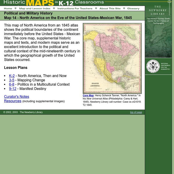
Newberry: Political and Military History: Map 14: u.s. Mexican War, 1845
Lessons for students in K-12 depicting North America prior to the United States and Mexico War, 1845. Students explore the mid-century political and cultural context in which the U.S. experienced growth and expansion.
Wikimedia
Wikipedia: United States Presidential Election, 2000
This encyclopedia article offers a thorough summary and analysis of the presidential election of 2000. Electoral maps, charts, photos and links are included. A good starting point for research, but because information may be edited, a...
The Newberry Library
Newberry: Historical Geography of Transportation: Map 10: United States, 1835
Lessons K-12 examining the role of transportation systems in the development and settlement of the lands between the Appalachian Mountains and the Mississippi River.
Virginia History Series
Virginia History Series: Virginia State History Wwii Era (1940 1948) [Pdf]
WWII awakened a massive development in Virginia from manufacturing to naval bases. Follow the course of the war through pictures, maps, charts and political cartoons. Visualize life in America and abroad during the war.
Center for Innovation in Engineering and Science Education, Stevens Institute of Technology
Satellite Mapping of Tropical Forest Cover and Deforestation
This review was formulated to offer recommendations to the United States Agency on International Development concerning global development practices with regard to deforestation activities. It suggests that satellite mapping of tropical...
Central Pacific Railroad Photographic History Museum
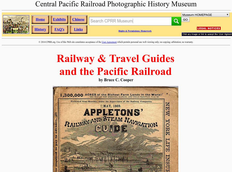
Cprr History Museum: Railway & Travel Guides and the Pacific Railroad
Ride the rails in the late 19th century by following these travel guides for railroads across the country. Find copies of the guides showing time tables, maps, and descriptions of the trips.
Other
Geological Survey Program: Facts About the New Madrid Seismic Zone
It's surprising to find out that the New Madrid Seismic Zone is the most seismically active area in the United States. The facts go into the New Madrid fault very scientifically and are very detailed. Find maps and charts showing...
Other
Serdp: Managing Contaminated Sediments
This resource is from the Strategic Environmental Research and Development Program (SERDP), an environmental research arm of the Department of Defense. It explains how sediment contamination has affected DoD facilities and what is being...
American-Israeli Cooperative Enterprise
Jewish Virtual Library: The Line of June 4, 1967
Discusses the history of the demarcation lines between Israel and Syria--lines which in part caused the June War.
Other popular searches
- United States Maps Regions
- Northeast United States Maps
- 50 United States Maps
- Create United States Maps
- Western United States Maps
- Custom United States Maps
- Outline Maps United States
- Blank United States Maps
- Maps, United States Rivers
- Maps United States Capitals
- Maps of the United States
- Maps United States


