Curated OER
United States Regions
In this United States political map worksheet, students examine regional census boundaries of the US. State boundaries are also included.
Curated OER
South US Region Map
In this United States regional outline map, students examine the state boundaries of the states in the Southern Region. Capital cities are denoted with stars.
Curated OER
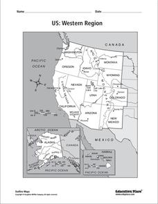
US: Western Region Map
In this United States Western Region activity, students examine the state boundaries and landforms found in this region. The map also highlights each of the state capitals.
Curated OER
US: Northeast Region Map
In this United States political map instructional activity, students examine the state boundaries of the Northeast Region. The map also highlights each of the state capitals denoted by stars.
Curated OER
US: Midwest Region
In this United States political map worksheet, students examine the state boundaries of the Midwestern Region. The map also highlights each of the state capitals denoted by stars.
Curated OER
South US Region
In this United States political map worksheet, students examine the Southern Region state boundaries. The map also highlights each of the state capitals denoted by stars. The states, capitals and major landforms are labeled.
Curated OER
US: Northeast Region: Unlabelled
In this United States political map worksheet, students examine the Northeast Region state boundaries. The map also highlights each of the state capitals denoted by stars.
Curated OER
USA: Average Precipitation and Temperature Map
In this United States map worksheet, students make note of the average precipitation and temperature in regions of the country.


