Hi, what do you want to do?
Curated OER
Educational Technology Clearinghouse: Maps Etc: The United States, 1897
A relief map from 1897 of the United States showing the mountain systems and highlands, plateaus, basins, plains, lakes, river systems, and coastal features.
Curated OER
Educational Technology Clearinghouse: Maps Etc: The United States, 1898
A map from 1898 of the United States showing physical features of mountain systems and highlands, basins, plains, prairies, limits of the glacial terminal moraines, lakes, rivers, and coastal features. The highlands above 2000 feet are...
Curated OER
Educational Technology Clearinghouse: Maps Etc: The United States, 1902
A map from 1902 of the United States showing physical features of mountain systems and highlands, basins, plains, prairies, limits of the glacial terminal moraines, lakes, rivers, and coastal features. The highlands above 2000 feet are...
Curated OER
Etc: Maps Etc: Orographical Map of the United States, 1906
An orographical map from 1906 of the United States showing terrain features including mountain systems, plateaus and slopes, watersheds, lakes, and rivers. The map is color-coded to show land elevations from sea level to over 10,000 feet.
US Environmental Protection Agency
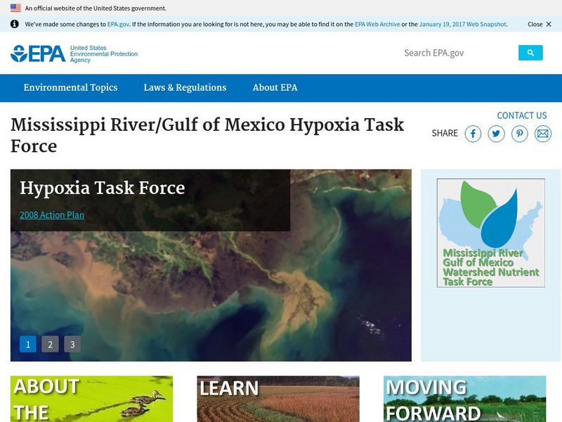
Epa: Mississippi River / Gulf of Mexico Hypoxia Task Force
Learn about the task force formed to help the public understand the causes and effects of eutrophication in the Gulf of Mexico.
Library of Congress
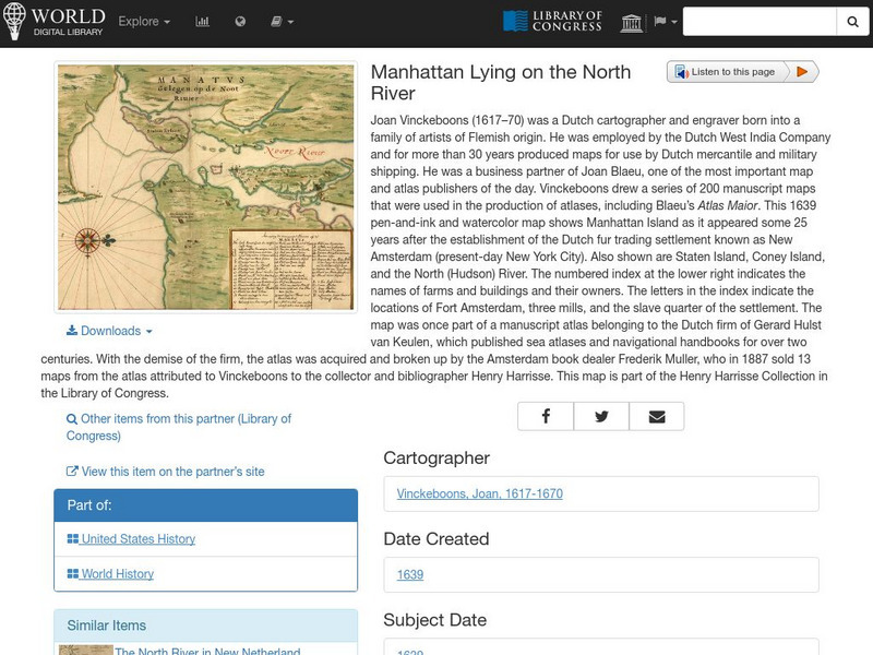
World Digital Library: Manhattan Lying on the North River
A historic map of Manhattan created by cartographer Joan Vinckeboons around 1639 for the Dutch West India Company. A feature on the page allows the visitor to listen to and read the accompanying descriptive text in seven different...
US Army Center
U.s. Army Center of Military History: James Wilkinson
Brief description on American General James Wilkinson (1757-1825) is offered from the United States Army Center of Military History mentioning his service in the War of 1812.
Independence Hall Association
U.s. History: Social Change and National Development
As the United States grew geographically, along with developing a national identity, there was also an increasing identity with regionalism. Read about the various regions, along with the changes in economics and religion in this period...
Then Again
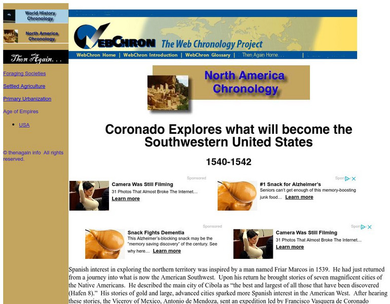
Then Again: Web Chron: Coronado Explores the Southwestern United States
This page details Coronado's expedition, the discovery of the Grand Canyon and the search for Quivira. Click on the map for a closer look at Coronado's Expedition.
ClassFlow
Class Flow: Major Topographical Features of the u.s.
[Free Registration/Login Required] In this flipchart students will locate major topographical features of the United States of America. Website links covering Identify rivers, mountain ranges, the equator, prime meridian, and lines of...
National Geographic
National Geographic: Mapping u.s. Watersheds
Students will identify and explore major rivers and watersheds in the United States.
US National Archives
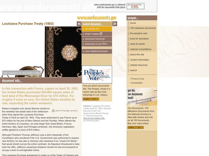
Our Documents: The Louisiana Purchase Treaty (1803)
A fantastic site from the Our Documents group that allows visitors to see an original copy of the Louisiana Purchase Treaty of 1803. This treaty allowed the United States to purchase a tract of land west of the Mississippi River that was...
Huntington Library
Huntington Library: Constitution on Trial: Internment of Japanese in Wwii
In this lesson, 11th graders look at what happened to the Japanese who were living in the United States during World War II and examine their experiences of internment. They will also consider the constitutionality of removing some civil...
Ducksters
Ducksters: Animals for Kids: Colorado River Toad
Kids learn about the Colorado River Toad. The largest native toad in the United States likes dry areas and deserts..
Curated OER
Etc: Maps Etc: Dispute Between United States and Mexico, 1846
A map showing the disputed territory in 1846 between the Nueces River, claimed to be the territory boundary by Mexico, and the Rio Grande River, claimed to be the boundary by the Republic of Texas. The map also shows the old Spanish...
Curated OER
Etc: Theatre of War in the United States, 1861 1865
A map showing the extent of the Confederate territories east of the Mississippi River during the American Civil War (1861-1865). The map shows state lines and capitals, major cities, forts, battle sites, and rivers in the region. The map...
Curated OER
Etc: Maps Etc: The Civil War in the United States, 1861
A map of the southeastern States showing the Federal and Confederate territories at the end of 1861. The railroad network shown is based on 1860 lines. The map shows major cities, mountain systems, rivers, and coastal features of the area.
University of Georgia
University of Georgia: Map of Southern States of America 1795
A large and detailed map of the southern U.S. States and territories to the immediate west. Indicates rivers, the Appalachian Mountains and latitude and longitude.
Alabama Learning Exchange
Alex: Save the Forest
President Theodore Roosevelt believed in the need for conservation and was called America's first environmental president. What steps did he take to help preserve the environment and its natural resources? Today we can enjoy the beauty...
Curated OER
Educational Technology Clearinghouse: Maps Etc: United States, 1789
A map of the United States in 1789, showing the State territorial claims, territories, and areas of territorial dispute. The map is color-coded to show States, territories, British possessions, and Spanish possessions, and shows the...
Curated OER
Educational Technology Clearinghouse: Maps Etc: United States, 1801
A map of the United States in 1801. The map is color-coded to show the States and territory of the United States west to the Mississippi River, the British territories of Upper and Lower Canada, Rupert's Land, and the Bahamas, the French...
Curated OER
Educational Technology Clearinghouse: Maps Etc: United States, 1800
A map of the United States in 1800, color-coded to show the States, Territories, British possessions, and Spanish possessions. The map shows State and Territory boundaries at the time, the disputed territory in northern Massachusetts...
Curated OER
Educational Technology Clearinghouse: Maps Etc: United States, 1917
A map of the United States and territories showing the expansion from the formation of the original states to the purchase of the Danish West Indies (Virgin Islands) in 1917. The map is color-coded to show the original states, the states...
Curated OER
Etc: Maps Etc: United States Canal Zone Showing the Completed Panama Canal, 1920
A map from 1920 of the United States Canal Zone showing the completed Panama Canal. The map shows the entrance ports of Colon on the Caribbean Sea and the city of Panama on the Pacific, the Panama Railroad, the original portion of the...
Other popular searches
- Major United States Rivers
- United States Rivers Map
- Maps, United States Rivers
- Maps United States Rivers


