Hi, what do you want to do?
Curated OER
Etc: Maps Etc: Natural Regions of the United States, 1906
A relief map from 1906 of the United States showing terrain features of mountain systems and highlands, basins, plains, prairies, lakes, rivers, and coastal features.
Independence Hall Association
U.s. History: "American Blood on American Soil"
President James Polk's desire was for the United States to stretch from sea to shining sea. See what happened when his overatures to Mexico to buy the land north of the Rio Grande River were spurned. Take a brief vote to see if Polk was...
PBS
Nh Pbs: Nature Works: Estuaries
Learn more about estuaries when you visit this informative site. This resource provides locations of and weblinks to estuaries in the United States.
NOAA
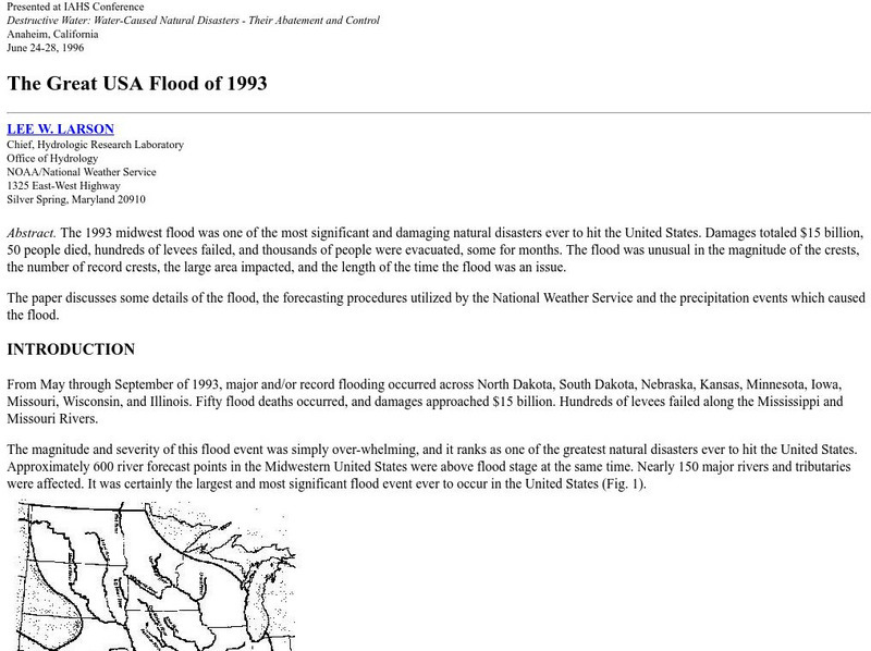
Noaa: The Great Usa Flood of 1993
Interesting abstract about the flood that hit the Midwest in 1993, one of the worst floods in United States History. Find out why the flood occurred, the damage, maps of the damage, charts, graphs, and statistics.
Houghton Mifflin Harcourt
Harcourt: School Publishers: James Fort Rediscovered
Jamestown was the first settlement in the United States in 1607. Once thought to have washed away with the James River, historians have found 10,000 artifacts related to the settlement.
iCivics
I Civics: Louisiana Purchase (1803)
In this map-based lesson, students learn the historic importance of the Mississippi River, why the U.S. was determined to maintain access, and how the United States acquired the land that made up the Louisiana Purchase.
Nature Conservancy
Nature Conservancy: California, Protecting the Golden State
Explore the rich habitats and natural beauty of the California landscape in this interactive video.
Civil War Home
Home of the American Civil War: Battle of Fort Donelson
A thorough overview of the Battle of Fort Donelson from the United States Civil War. It contains links to official records and actual accounts of the battle.
Library of Congress
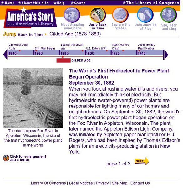
Loc: America's Story: The World's 1st Hydroelectric Plant
This three-page article explores the operation of the first hydroelectric power plant and the spread of renewable energy in the United States.
Other
Ozark Mountains
Learn more about the lakes, rivers, caverns, and outdoor activities in the Ozark Mountains.
US Geological Survey
U.s. Geological Survey: Rain
At this site from the U.S. Geological Survey you can find out what makes rain such a valuable resource. Included is a chart that tells how much rain different cities in the United States receive. Click Home to access the site in Spanish.
Curated OER
Etc: State Claims to Western Lands, 1783 1802
A map of the United States east of the Mississippi River showing the State claims between 1783-1802. The map shows the western territorial boundary established by the Treaty of 1783 between Britain and the United States, the State claims...
Curated OER
Educational Technology Clearinghouse: Maps Etc: The Perdido River, 1790 1842
A map of the Perdido River area, including Mobile Bay, Pensacola, and the Mississippi Delta. The Perdido River was the disputed boundary of West Florida between the United States and Spain, resolved in 1819 when Spain ceded Florida under...
Curated OER
Educational Technology Clearinghouse: Maps Etc: Navigable Rivers, 1820
Navigable rivers in the United States in about 1820.
Curated OER
Etc: Maps Etc: The Territory of the Thirteen Original States, 1783
A map of the United States at the close of the American Revolutionary War (1783) showing the newly formed States, and their claims to the lands west of the Allegheny Mountains to the Mississippi River.
Curated OER
Wikipedia: Natl Historic Landmarks in Sc: Stono River Slave Rebellion Site
Beginning point of the earliest slave revolt in the United States.
Curated OER
Wikipedia: National Historic Landmarks in Washington (State): Chinook Point
Captain Robert Gray became the first European to see the Columbia River at this location in 1792. His explorations gave the United States a strong position in its later territorial contests with Great Britain.
Encyclopedia Britannica
Encyclopedia Britannica: The Rio Grande
This entry provides a description of the physical features, the economy surrounding and the study and exploration of the Rio Grande river.
US National Archives
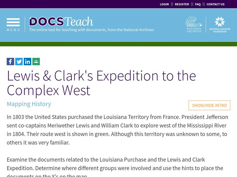
Docsteach: Lewis & Clark's Expedition to the Complex West
This activity can be used as an introduction or for a closer study of the Lewis & Clark Expedition. Students will learn that the United States purchased the Louisiana Territory in 1803 and President Thomas Jefferson sent Lewis and...
Smithsonian Institution
National Museum of American History: Transportation in America Before 1876
In 1800, the United States was made up of 16 states, all east of the Appalachians, and most people lived within 50 miles of the Atlantic. Oceans and rivers were the nations' highways, providing the only viable way to travel long...
Other
New Madrid: Earthquakes of 1811 1812
This very detailed description of the largest series of earthquakes in the United States tells what happened to the land and rivers as a result of the quakes. Read about the series of earthquakes that shook the region between December...
University of Groningen
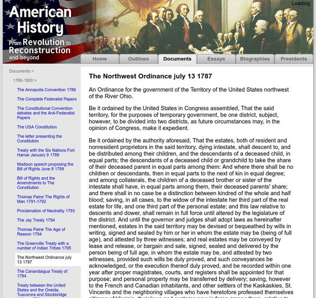
American History: Documents: The Northwest Ordinance July 13, 1787
Presents the full text of the Northwest Ordinance, "an Ordinance for the government of the Territory of the United States northwest of the River Ohio", thus creating the Northwest Territory.
Geographypods
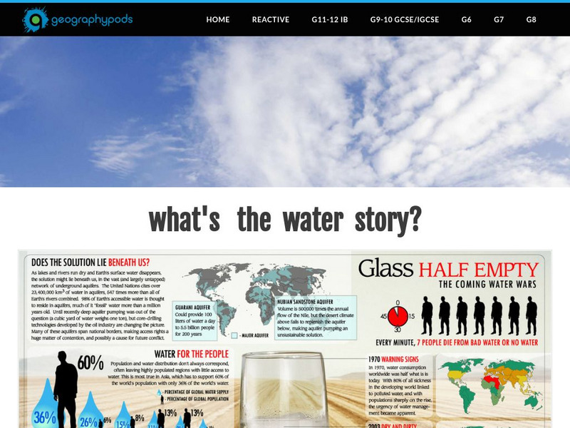
Geographypods:freshwater: Issues and Conflicts: Competing Demands for Freshwater
This learning module examines conflicting demands for fresh water around the world. It looks at the water resources that are available, water scarcity, and local and international conflicts over water. Specific cases are explored,...
University of Oklahoma
University of Oklahoma College of Law: The Treaty of Greenville
Contains the full text of the Treaty of Greenville which was a treaty of peace and friendship between the United States of America and the tribes of Native Americans called the Wyandots, Delawares, Shawanees, Senacas, Miamies, Ottawas,...
Other popular searches
- Major United States Rivers
- United States Rivers Map
- Maps, United States Rivers
- Maps United States Rivers


