Independence Hall Association
U.s. History: Manifest Destiny
A look at the reasons for westward expansion, known as Manifest Destiny. Economic, religious, and cultural reasons pushed Americans from sea to shining sea.
Other
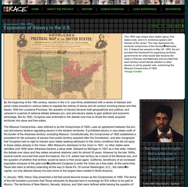
American Anthropological Association: 1800 1850s: Expansion of Slavery in the Us
Outlines the political events prior to the Civil War as the United States expanded its territories to include new states and conflicts arose over the issue of slavery.
Department of Defense
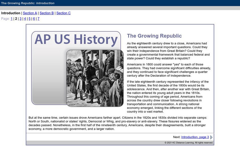
Do Dea: Ap Us History: Unit 3: The Growing Republic
This extensive learning module examines how the United States' efforts to increase foreign trade, add new territory, and isolate itself from Europe affected its foreign policy and other initiatives. It investigates how advances in...
Department of Defense
Do Dea: Ap Us History: Unit 4: A House Divided
This extensive learning module examines how the United States became more connected with the world as it pursued an expansionist foreign policy, became the destination for many new immigrants, and encouraged migration to the Pacific...
Ducksters
Ducksters: Crossword Puzzle Print Out for Kids: Westward Expansion
Print out a crossword puzzle game about the Westward Expansion of the US. Learn about history and have fun at the same time.
Ducksters
Ducksters: Crossword Puzzle Game for Kids: Westward Expansion
An interactive and fun crossword puzzle game about the Westward Expansion of the US.
Khan Academy
Khan Academy: Us History: 1865 1898: Westward Expansion: Economic Development
In the late nineteenth century, the West developed into a modern agricultural machine- at the expense of farmers.
Khan Academy
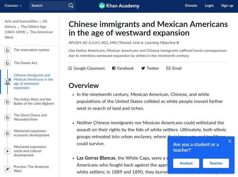
Khan Academy: Ap Us History: 1865 1898: Chinese Immigrants and Mexican Americans
Discusses the conflict with Mexican American and Chinese groups as white settlers pushed westward in the nineteenth century. Explains what brought so many Chinese immigrants to America and the roadblocks and discrimination that they had...
Independence Hall Association
U.s. History: Westward Expansion: The Louisiana Purchase
Read about the fortuitous purchase made that doubled the size of the United States. See why Napoleon was willing to sell the land, and find out about the quandary Thomas Jefferson was in as he had to go against his strict construction...
Independence Hall Association
U.s. History: The Expansion of the Vote: A White Man's Democracy
Read about how the ability to vote changed from requiring the ownership of property to almost complete enfranchisement of white males by 1840. There was disenfranchisment of women and free blacks in the same period of time.
US Mint
U.s. Mint: Let's Build a Map [Pdf]
In this four-part instructional activity, students study the map of the Louisiana Purchase and the trail of Lewis and Clark's Expedition. Then, build a classroom map displaying the events of the Westward Expansion.
University of Oregon
Mapping History Project: Territorial Expansion of the u.s. 1783 1853
Click on the sliding bar and watch how the United States territory grew with the Louisiana Purchase, Florida Acquisitions, Texas Annexation, Oregon Country, and Mexican Cession.
Khan Academy
Khan Academy: Us History: 1945 1980: The Growth of Suburbia
Learn about Levittown and housing benefits for veterans.
Khan Academy
Khan Academy: Us History: 1865 1898: The Dawes Act
The 1887 law intended to assimilate Native Americans led to the loss of millions of acres of land.
Khan Academy
Khan Academy: Us History: 1865 1898: The Reservation System
In the nineteenth century, Native Americans were confined to reservations to open up land for white settlers.
Khan Academy
Khan Academy: Us History: 1865 1898: The Homestead Act and the Exodusters
The Homestead Act of 1862 gave free land to Americans willing to improve it, regardless of race, sex, or nation of origin.
PBS
Wnet: Thirteen: Whose Land Is This? Conflict Between Native Americans & Settlers [Pdf]
A lesson plan from the producers of the 16-episode PBS series "Freedom: A History of US" designed to provide insights into the causes of the conflict between Native Americans and new settlers pushing west. Students will examine official...
ClassFlow
Class Flow: Cause and Effect With Us History
[Free Registration/Login Required] What is cause and effect? This flipchart explains cause and effect with simple examples leading to more in-depth examples in US history from the Industrial Revolution, immigration, and Westward expansion.
Curated OER
Etc: Maps Etc: United States Expansion and the Railroads, 1880
A map of the United States and territories showing the expansion from the formation of the original states to 1880, and the railroad network in 1880. The map is color-coded to show the original states, the states admitted between 1791...
Curated OER
Etc: Maps Etc: The Expansion Resulting From the Louisiana Purchase, 1803
A base map showing the expansion of the United States resulting from the Louisiana Purchase in 1803.
Alabama Learning Exchange
Alex: Manifest Destiny and Westward Expansion
Students engage in a discussion of "Manifest Destiny" using a timeline of events from 1830 - 1860, and a biographical sketch of a real person who lived during that time period. During the discussion, students will use the biography to...
Other
Mission Us: Mission 3: A Cheyenne Odyssey
[Free Registration/Login Required] Online game where players become Little Fox, a Northern Cheyenne boy whose life is changed by the encroachment of white settlers, railroads, and U.S. military expeditions. As buffalo diminish and the...
Annenberg Foundation
Annenberg Learner: Us History Map Assessment: Test Your Skills
Test how much you know about major U.S geographic features, Indian tribes, states and regions, European colonists and territorial expansion. View your correct and incorrect answers, and print out your assessment.
OpenStax
Open Stax: The Mexican American War, 1846 1848
After reading this section of a chapter on "Westward Expansion," students will be able to identify the causes of the Mexican-American War and describe the outcomes of the war in 1848 and the effect of the California Gold Rush on westward...


![U.s. Mint: Let's Build a Map [Pdf] Lesson Plan U.s. Mint: Let's Build a Map [Pdf] Lesson Plan](https://content.lessonplanet.com/knovation/original/249029-024660939f27fa1ea8589c5fba13f0e6.jpg?1661243095)


