Independence Hall Association
U.s. History: Jeffersonian Ideology
An easy to understand overview of the thinking of Thomas Jefferson in terms of politics and the role of the people in political action. See what he feared as the nation was becoming industrialized, and read about the contradictions in...
Independence Hall Association
U.s. History: State Constitutions
The new states did a great deal of experimentation within the bounds of the new republican ideals. Read about three very different takes on how a state should be organized governmentally.
Independence Hall Association
U.s. History: Revolutionary Limits: Native Americans
A good description of the actions and fate of the Native Americans who allied with the British to fight against the Americans. Find out that while the Native Americans had treaties with the British, they were not represented at the talks...
Independence Hall Association
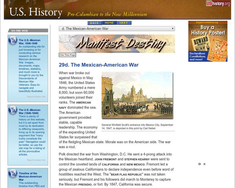
U.s. History: The Mexican American War
The Mexican-American War fulfilled James Polk's desire to acquire the territory of New Mexico and California from Mexico. See how the fight was provoked, and read about Stephen Kearny's actions in New Mexico and John Fremont's in...
Alabama Learning Exchange
Alex: Exploring Explorers
Students will create a video in talk-show format about explorers from the 15th-17th centuries. They will utilize books, the Alabama Virtual Library, and the Internet for reference. Groups of students will answer who, what, when, where,...
Curated OER
Etc: Center of Population, 1790 1900
A map from 1919 showing the mean center of population of the United States, calculated at each census from 1790 to 1900. The map illustrates the westward expansion of territory and migration during the period. "The center of population...
Curated OER
Etc: Maps Etc: Distribution of Population , 1850
A map of the United States showing the population distribution in 1850. The map is coded to show population densities ranging from under 2 inhabitants per square mile to over 90 inhabitants per square mile. The map illustrates the...
Curated OER
Etc: Maps Etc: United States Population Density, 1900
A map from 1912 of the United States, subtitled "Distribution of Population and Railways in 1900" showing the increase in population and expansion of the railroad network since 1850. The map is color-coded to show population densities...
Curated OER
Etc: Principal Routes of Trade and Migration, 1840 1850
A map of the United States between 1840 and 1850 showing the states and territories, and the principal routes of transportation and westward migration during the period. The map shows frontier forts, outposts, and settlements, the...
Curated OER
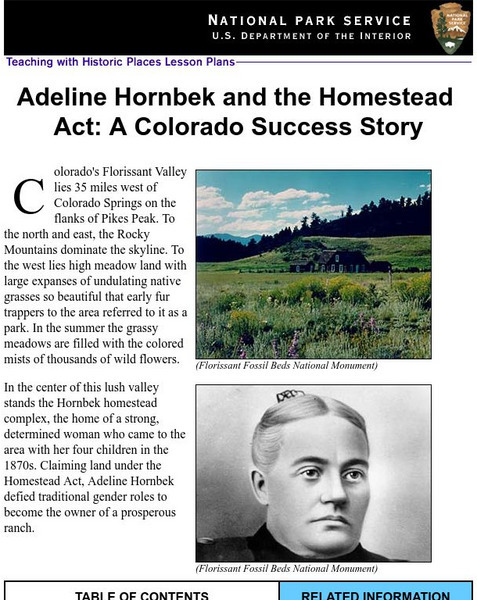
National Park Service: Adeline Hornbeck and the Homestead Act
This Teaching with Historic Places lesson effectively depicts the life of a pioneer woman and ways in which the Homestead Act impacted her life. The site includes lesson plans, inquiry questions, and photos that may be used in covering...
PBS
Pbs Learning Media: Primary Source Set: The Panic of 1837
This collection uses primary sources to explore the Panic of 1837.
Louisiana Department of Education
Louisiana Doe: Louisiana Believes: Grade 7 Social Studies Units
Students explore the formation of the American identity as they learn early United States history from the eve of the Revolution to the end of Reconstruction
Other
The Gold Rush: Fever
This resource provides information about the Gold Rush, and fever that took place during westward expansion.
Independence Hall Association
U.s. History: Early Stirrings
American desire for overseas expansion began as early as the purchase of Alaska from Russia. See what other actions were taken in the latter part of the 19th century, and find out why this imperialist view was taking hold.
Independence Hall Association
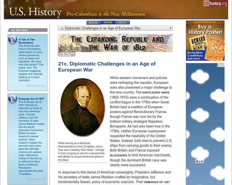
U.s. History: Diplomatic Challenges in an Age of European War
Both the British and French challenged American sovereignty and neutrality on the high seas. Read about the solution favored by Thomas Jefferson, but despised by the American shippers. See why this a cause of the War of 1812, along with...
Curated OER
Educational Technology Clearinghouse: Maps Etc: Treaty With Spain, 1819
A map of the western United States and northern Mexico showing the territorial disputes settled and boundary established by the Adams-Onis Treaty between the United States and Spain in 1819. The territorial disputes involved the natural...
Curated OER
Etc: Acquisition of Territory, 1783 1884
A map from 1885 of the United States showing the territorial growth from the original States and the Northwest Territory in 1783 to the Russian cession of Alaska in 1867. The map is color-coded to show the progression from the original...
Independence Hall Association
U.s. History: The Missouri Compromise
A good look at the issues debated about the admission of new states, particularly those that would be made from the Louisiana Purchase. Read about why the issue of allowing slavery in the new states was such a hard decision for Congress....
Alabama Learning Exchange
Alex: Transportation to the Western Frontier
There were several modes of transportation for early settlers to use when they moved to the west. Middle schoolers will research and document four modes of transportation using the Internet and print resources in the library.
Alabama Learning Exchange
Alex: Spice Up the Nineteenth Century!
Young scholars will make interactive outlines using the Internet of the reform movements, literature, trails, religion or technology of the early nineteenth century.
PBS
Pbs Learning Media: Martin Luther King Jr.: Civil Rights Leader Video
In the second half of the 20th century, racial tensions rose in the US as African Americans began to challenge unjust laws that supported discrimination and segregation. This movement found its leader in the patient and inspiring...
Curated OER
Educational Technology Clearinghouse: Maps Etc: Creek War, 1813
A map of the southern United States showing the area and battle sites of the Creek War of 1813, also known as the Red Stick War. The map shows the Upper Creek territory along the Alabama and Tallapoosa rivers, Fort Mimms near the Battle...
Curated OER
Educational Technology Clearinghouse: Maps Etc: War of 1812, 1812
A series of maps showing the principal campaigns, forts, and battle sites of the War of 1812, including: a map of the northern seat of war in the Great Lakes region of Canada, New York, Pennsylvania, Ohio, and the Michigan Territory; a...
